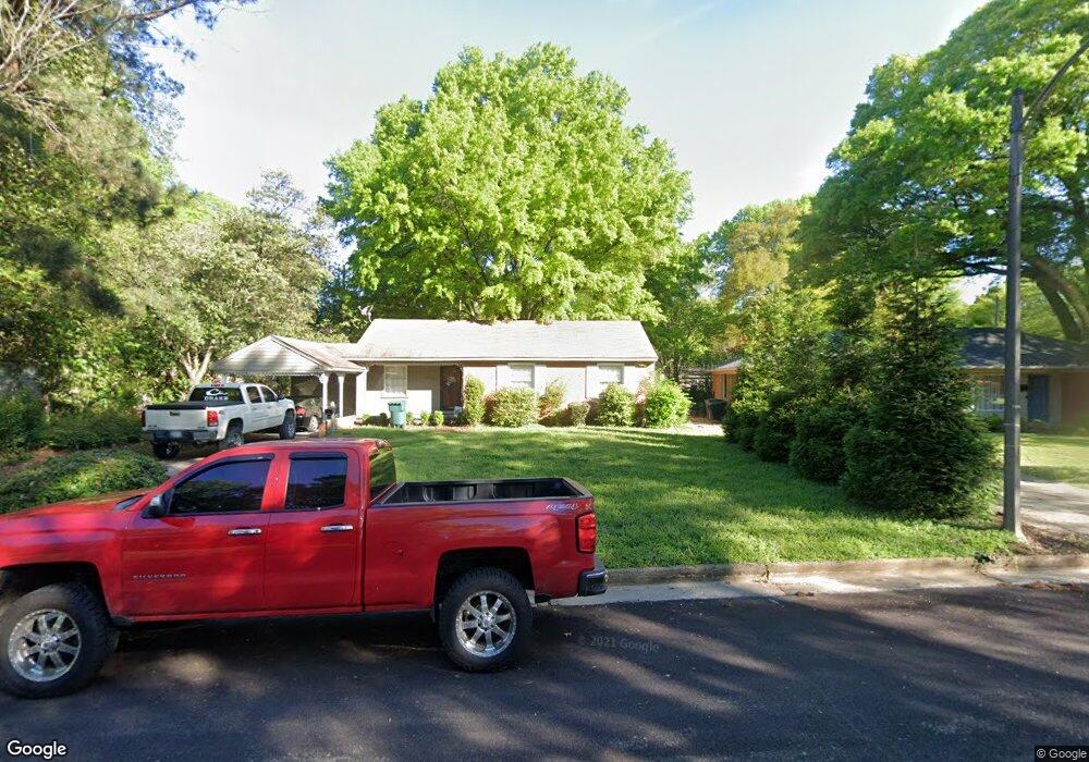
4678 Chip Rd Memphis, TN 38117
Colonial Acres NeighborhoodEstimated Value: $175,860 - $236,000
3
Beds
1
Bath
1,334
Sq Ft
$159/Sq Ft
Est. Value
About This Home
This home is located at 4678 Chip Rd, Memphis, TN 38117 and is currently estimated at $211,465, approximately $158 per square foot. 4678 Chip Rd is a home located in Shelby County with nearby schools including Sea Isle Elementary School, Colonial Middle, and Overton High.
Create a Home Valuation Report for This Property
The Home Valuation Report is an in-depth analysis detailing your home's value as well as a comparison with similar homes in the area
Home Values in the Area
Average Home Value in this Area
Tax History
| Year | Tax Paid | Tax Assessment Tax Assessment Total Assessment is a certain percentage of the fair market value that is determined by local assessors to be the total taxable value of land and additions on the property. | Land | Improvement |
|---|---|---|---|---|
| 2025 | $1,599 | $51,675 | $11,250 | $40,425 |
| 2024 | $1,599 | $47,175 | $9,050 | $38,125 |
| 2023 | $2,874 | $47,175 | $9,050 | $38,125 |
| 2022 | $2,874 | $47,175 | $9,050 | $38,125 |
| 2021 | $2,907 | $47,175 | $9,050 | $38,125 |
| 2020 | $2,331 | $32,175 | $9,050 | $23,125 |
| 2019 | $2,331 | $32,175 | $9,050 | $23,125 |
| 2018 | $2,331 | $32,175 | $9,050 | $23,125 |
| 2017 | $1,322 | $32,175 | $9,050 | $23,125 |
| 2016 | $1,333 | $30,500 | $0 | $0 |
| 2014 | $1,333 | $30,500 | $0 | $0 |
Source: Public Records
Map
Nearby Homes
- 4613 Crossover Ln
- 1027 Colonial Rd
- 1044 Kings Park Rd
- 901 S Perkins Rd
- 1168 S Perkins Rd
- 4557 Park Ave
- 1181 S Perkins Rd
- 883 Drake Manor Cove
- 866 Colonial Rd
- 4856 Kaye Rd
- 4513 Park Ave
- 1207 W Perkins Rd
- 826 Thistledown Dr Unit 1202
- 748 Hedgegrove Dr Unit 4803
- 4522 Park Ave
- 812 Creekside Dr Unit 2
- 4786 Audubon View #2 Cir Unit 3807
- 4764 Eagle Crest Dr Unit 4002
- 4853 Marion Ave
- 1254 Marcia Rd
Your Personal Tour Guide
Ask me questions while you tour the home.