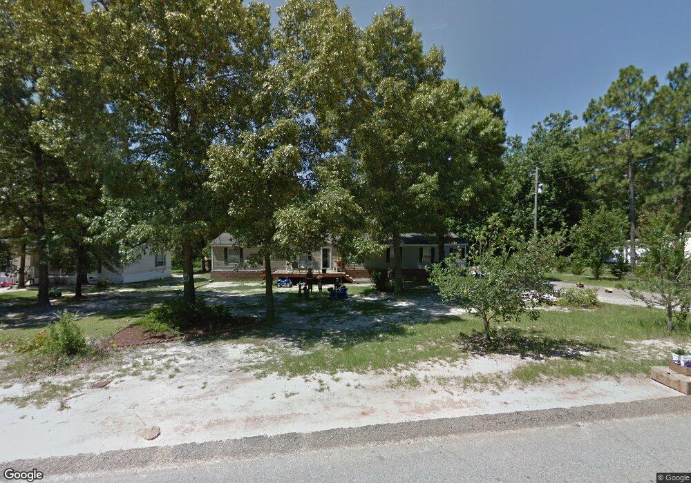
4678 Rollins Rd Augusta, GA 30906
McBean NeighborhoodEstimated Value: $69,000 - $263,000
--
Bed
--
Bath
2,240
Sq Ft
$76/Sq Ft
Est. Value
About This Home
This home is located at 4678 Rollins Rd, Augusta, GA 30906 and is currently estimated at $169,727, approximately $75 per square foot. 4678 Rollins Rd is a home located in Richmond County with nearby schools including McBean Elementary School, Pine Hill Middle School, and Johnson Magnet.
Ownership History
Date
Name
Owned For
Owner Type
Purchase Details
Closed on
Oct 12, 2007
Sold by
Laprade Mary B and Schmidt Mary B
Bought by
Laprade Beverly J
Current Estimated Value
Create a Home Valuation Report for This Property
The Home Valuation Report is an in-depth analysis detailing your home's value as well as a comparison with similar homes in the area
Home Values in the Area
Average Home Value in this Area
Purchase History
| Date | Buyer | Sale Price | Title Company |
|---|---|---|---|
| Laprade Beverly J | -- | None Available |
Source: Public Records
Tax History Compared to Growth
Tax History
| Year | Tax Paid | Tax Assessment Tax Assessment Total Assessment is a certain percentage of the fair market value that is determined by local assessors to be the total taxable value of land and additions on the property. | Land | Improvement |
|---|---|---|---|---|
| 2025 | $1,093 | $23,243 | $4,848 | $18,395 |
| 2024 | $1,093 | $23,103 | $4,848 | $18,255 |
| 2023 | $450 | $22,914 | $4,848 | $18,066 |
| 2022 | $944 | $23,190 | $4,848 | $18,342 |
| 2021 | $913 | $20,549 | $4,848 | $15,701 |
| 2020 | $896 | $20,306 | $4,848 | $15,458 |
| 2019 | $929 | $20,276 | $4,848 | $15,428 |
| 2018 | $941 | $20,504 | $4,848 | $15,656 |
| 2017 | $924 | $20,399 | $4,848 | $15,551 |
| 2016 | $790 | $19,781 | $4,848 | $14,933 |
| 2015 | $795 | $19,797 | $4,848 | $14,949 |
| 2014 | $807 | $20,140 | $4,848 | $15,292 |
Source: Public Records
Map
Nearby Homes
- 4704 Mike Padgett Hwy
- 4546 Mike Padgett Hwy
- 4756 Mike Padgett Hwy
- 1049 Horseshoe Rd
- 1045 Horseshoe Rd
- 1228 Brown Rd
- 1001 Alden Dr
- 157 Essence Dr
- 153 Essence Dr
- 113 Essence Dr
- 109 Essence Dr
- 1029 Horseshoe B Rd
- 4011 Brown Hurst Rd
- 979 Horseshoe Rd
- 4415 Seago Rd
- 1261 Alden Dr
- 1123 Hephzibah - McBean Rd
- 1106B Hephzibah - McBean Rd
- 1140 Piney Grove Rd
- 1683 Pine Ridge Dr N
- 4640D Rollins Rd
- 4706 Rollins Rd
- 4705 Rollins Rd Unit TRACT 1B
- 4705 Rollins Rd Unit TRACT 1A
- 4705 Rollins Rd
- 0 Rollins Rd Unit 216498
- 4680 Rollins Rd
- 4674 Rollins Rd
- 4670 Rollins Rd
- 4668 Rollins Rd
- 4704 Rollins Rd
- 4684 Rollins Rd
- 4669 Rollins Rd
- 4708 Rollins Rd
- 4684C Rollins Rd
- 4664 Rollins Rd
- 4709 Rollins Rd
- 4662 Rollins Rd
- 4716 Rollins Rd
- 4713 Rollins Rd