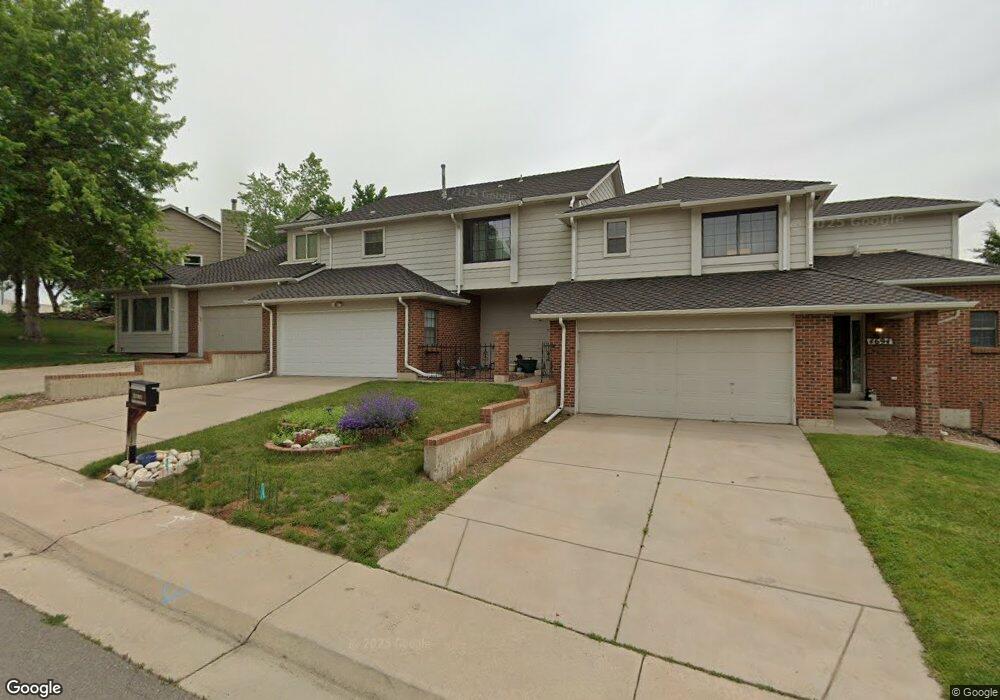
4678 S Newton St Denver, CO 80236
Fort Logan NeighborhoodEstimated Value: $467,431 - $573,000
2
Beds
3
Baths
2,545
Sq Ft
$197/Sq Ft
Est. Value
About This Home
This home is located at 4678 S Newton St, Denver, CO 80236 and is currently estimated at $500,608, approximately $196 per square foot. 4678 S Newton St is a home located in Denver County with nearby schools including Kaiser Elementary School, Bear Valley International School, and John F Kennedy High School.
Ownership History
Date
Name
Owned For
Owner Type
Purchase Details
Closed on
Dec 20, 2010
Sold by
Klee Michael P
Bought by
Cantone Elaine
Current Estimated Value
Home Financials for this Owner
Home Financials are based on the most recent Mortgage that was taken out on this home.
Original Mortgage
$180,310
Outstanding Balance
$120,033
Interest Rate
4.37%
Mortgage Type
FHA
Estimated Equity
$380,575
Create a Home Valuation Report for This Property
The Home Valuation Report is an in-depth analysis detailing your home's value as well as a comparison with similar homes in the area
Home Values in the Area
Average Home Value in this Area
Purchase History
| Date | Buyer | Sale Price | Title Company |
|---|---|---|---|
| Cantone Elaine | $185,000 | Ats |
Source: Public Records
Mortgage History
| Date | Status | Borrower | Loan Amount |
|---|---|---|---|
| Open | Cantone Elaine | $180,310 |
Source: Public Records
Tax History Compared to Growth
Tax History
| Year | Tax Paid | Tax Assessment Tax Assessment Total Assessment is a certain percentage of the fair market value that is determined by local assessors to be the total taxable value of land and additions on the property. | Land | Improvement |
|---|---|---|---|---|
| 2024 | $1,842 | $29,960 | $850 | $29,110 |
| 2023 | $1,802 | $29,960 | $850 | $29,110 |
| 2022 | $1,466 | $25,390 | $880 | $24,510 |
| 2021 | $1,949 | $26,120 | $910 | $25,210 |
| 2020 | $1,822 | $24,560 | $910 | $23,650 |
| 2019 | $1,771 | $24,560 | $910 | $23,650 |
| 2018 | $1,477 | $19,090 | $840 | $18,250 |
| 2017 | $1,472 | $19,090 | $840 | $18,250 |
| 2016 | $1,465 | $17,960 | $931 | $17,029 |
Source: Public Records
Map
Nearby Homes
- 3742 W Union Ave
- 4090 W Wagon Trail Dr
- 3713 W Union Ave
- 3963 W Temple Place
- 3999 W Chenango Ave
- 4621 S Perry Way
- 3659 W Union Ave Unit F4
- 4621 S Lowell Blvd Unit J6
- 4643 S Lowell Blvd Unit B
- 3928 W Chenango Ave
- 3590 W Pimlico Ave
- 3397 W Tanforan Dr
- 3616 W Radcliff Ave Unit D9
- 4445 S Lowell Blvd
- 4201 W Tufts Ave
- 3831 W Rutgers Place
- 4155 W Stanford Ave
- 4665 S Raleigh St
- 3379 W Wagon Trail Dr
- 4244 W Monmouth Ave
- 4678 S Newton St
- 4678 S Newton St Unit 4678
- 4694 S Newton St
- 4694 S Newton St
- 4662 S Newton St
- 4662 S Newton St
- 4660 S Newton St
- 3785 W Union Ave
- 4654 S Newton St
- 3775 W Union Ave
- 4644 S Newton St
- 3765 W Union Ave
- 3805 W Union Ave
- 3782 W Union Ave
- 3804 W Temple Place
- 3790 W Union Ave
- 4628 S Newton St
- 4628 S Newton St
- 3803 W Temple Place
- 3835 W Union Ave