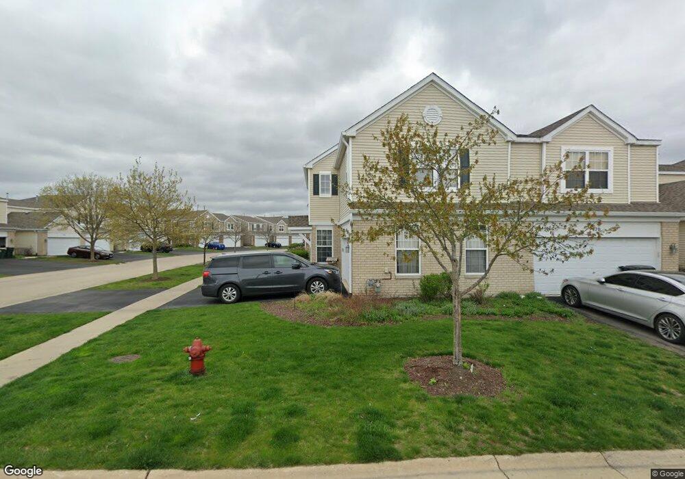
468 Brookside Dr Oswego, IL 60543
North Oswego NeighborhoodEstimated Value: $278,000 - $299,000
About This Home
This home is located at 468 Brookside Dr, Oswego, IL 60543 and is currently estimated at $288,394, approximately $180 per square foot. 468 Brookside Dr is a home located in Kendall County with nearby schools including Long Beach Elementary School, Plank Junior High School, and Oswego East High School.
Ownership History
We collect this data history from publicly available records. To have your information removed, we recommend requesting removal directly through your county’s website.
Purchase Details
Purchase Details
Purchase Details
Home Financials for this Owner
Home Financials are based on the most recent Mortgage that was taken out on this home.Home Values in the Area
Average Home Value in this Area
Purchase History
We collect this data history from publicly available records. To have your information removed, we recommend requesting removal directly through your county’s website.
| Date | Buyer | Sale Price | Title Company |
|---|---|---|---|
| $180,000 | None Available | ||
| -- | -- | ||
| $169,000 | Chicago Title Insurance Co |
Mortgage History
We collect this data history from publicly available records. To have your information removed, we recommend requesting removal directly through your county’s website.
| Date | Status | Borrower | Loan Amount |
|---|---|---|---|
| Previous Owner | $135,044 |
Tax History
We collect this data history from publicly available records. To have your information removed, we recommend requesting removal directly through your county’s website.
| Year | Tax Paid | Tax Assessment Tax Assessment Total Assessment is a certain percentage of the fair market value that is determined by local assessors to be the total taxable value of land and additions on the property. | Land | Improvement |
|---|---|---|---|---|
| 2025 | $6,409 | $88,406 | $18,023 | $70,383 |
| 2024 | $6,409 | $79,645 | $16,237 | $63,408 |
| 2023 | $5,845 | $69,256 | $14,119 | $55,137 |
| 2022 | $5,845 | $64,725 | $13,195 | $51,530 |
| 2021 | $5,660 | $60,491 | $12,332 | $48,159 |
| 2020 | $5,549 | $58,729 | $11,973 | $46,756 |
| 2019 | $5,637 | $58,729 | $11,973 | $46,756 |
| 2018 | $4,866 | $50,051 | $10,204 | $39,847 |
| 2017 | $4,729 | $46,130 | $9,405 | $36,725 |
| 2016 | $4,362 | $41,936 | $8,550 | $33,386 |
| 2015 | $4,085 | $37,443 | $7,634 | $29,809 |
| 2014 | -- | $35,324 | $7,202 | $28,122 |
| 2013 | -- | $38,395 | $7,828 | $30,567 |
Map
- 281 Springbrook Trail S
- 427 Barnaby Dr
- 0000 Fifth St
- 2071 Wiesbrook Dr
- 609 Plymouth Ct
- 739 Bohannon Cir
- 453 Newport Cir
- 128 Saugatuck Rd
- 507 Homeview Dr
- 772 Bohannon Cir
- 74 Seton Creek Dr
- 328 Barnaby Dr
- 162 Heathgate Rd
- 156 Tealwood Rd
- 786 Bohannon Cir
- 69 Paddock St
- 739 Bonaventure Dr
- 99 W Merchants Dr
- 112 Seton Creek Dr
- 36 Bridgeview Dr
- 470 Brookside Dr
- 472 Brookside Dr
- 546 Springbrook Trail N
- 546 Springbrook Trail N Unit N
- 474 Brookside Dr Unit 1
- 474 Brookside Dr Unit 474
- 544 Springbrook Trail N
- 544 Springbrook Trail N Unit 1
- 568 Springbrook Trail N
- 561 Springbrook Trail N Unit 2
- 563 Springbrook Trail N Unit 2
- 557 Springbrook Trail N Unit 1
- 542 Springbrook Trail N
- 565 Springbrook Trail N
- 565 Springbrook Trail N Unit 261
- 555 Springbrook Trail N Unit 1
- 555 Springbrook Trail N Unit 555
- 478 Brookside Dr
- 478 Brookside Dr Unit 20
- 553 Springbrook Trail N Unit 1
Ask me questions while you tour the home.