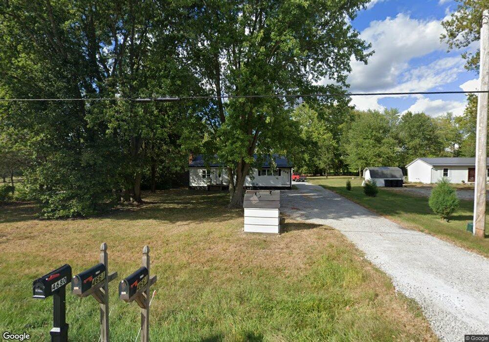
4680 State Route 350 Clarksville, OH 45113
Estimated Value: $188,663 - $224,000
2
Beds
1
Bath
1,196
Sq Ft
$174/Sq Ft
Est. Value
About This Home
This home is located at 4680 State Route 350, Clarksville, OH 45113 and is currently estimated at $208,166, approximately $174 per square foot. 4680 State Route 350 is a home located in Clinton County with nearby schools including Clinton-Massie Elementary School, Clinton-Massie Middle School, and Clinton-Massie High School.
Ownership History
Date
Name
Owned For
Owner Type
Purchase Details
Closed on
Dec 21, 2020
Sold by
Harper Arthur Alvin and Harper Debra C
Bought by
Sams Alexa G
Current Estimated Value
Purchase Details
Closed on
Feb 16, 2007
Sold by
Halcomb Pansie S
Bought by
Harper Arthur A
Purchase Details
Closed on
Jan 1, 1990
Bought by
Halcomb Pansie S
Create a Home Valuation Report for This Property
The Home Valuation Report is an in-depth analysis detailing your home's value as well as a comparison with similar homes in the area
Home Values in the Area
Average Home Value in this Area
Purchase History
| Date | Buyer | Sale Price | Title Company |
|---|---|---|---|
| Sams Alexa G | -- | None Listed On Document | |
| Sams Alexa G | -- | None Listed On Document | |
| Harper Arthur A | $54,833 | -- | |
| Halcomb Pansie S | -- | -- |
Source: Public Records
Tax History Compared to Growth
Tax History
| Year | Tax Paid | Tax Assessment Tax Assessment Total Assessment is a certain percentage of the fair market value that is determined by local assessors to be the total taxable value of land and additions on the property. | Land | Improvement |
|---|---|---|---|---|
| 2024 | $1,321 | $39,170 | $7,280 | $31,890 |
| 2023 | $1,321 | $39,170 | $7,280 | $31,890 |
| 2022 | $1,085 | $29,660 | $4,100 | $25,560 |
| 2021 | $1,111 | $29,660 | $4,100 | $25,560 |
| 2020 | $1,091 | $29,660 | $4,100 | $25,560 |
| 2019 | $879 | $24,250 | $4,750 | $19,500 |
| 2018 | $888 | $24,250 | $4,750 | $19,500 |
| 2017 | $866 | $24,250 | $4,750 | $19,500 |
| 2016 | $886 | $24,780 | $5,980 | $18,800 |
| 2015 | $886 | $24,780 | $5,980 | $18,800 |
| 2013 | $910 | $24,460 | $5,980 | $18,480 |
Source: Public Records
Map
Nearby Homes
- 4347 Ohio 350
- 6182 Ohio 730
- 9132 St Rt 730
- 9132 State Route 730
- 0 Old State Rd Unit 1849352
- 6182 State Route 730
- 279 Frances Dr
- 9356 Ohio 350
- 450 Pansy Rd
- 216 Pansy Rd
- 582 Nauvoo Rd
- 1056 Halpin Rd
- 1623 Reeder Rd
- 104 Linton Ave
- 1896 Reeder Rd
- 21 Kimlor Ln
- 1211 Pratt Rd
- 420 Kensington Dr
- 963 Pratt Rd
- 2211 Reeder Rd
- 4656 State Route 350
- 4698 State Route 350
- 4717 State Route 350
- 4743 State Route 350
- 4724 State Route 350
- 4776 State Route 350
- 4811 State Route 350
- 4507 State Route 350
- 4507 State Route 350
- 4480 Ohio 350
- 4480 State Route 350
- 4480 St Rt 350
- 4839 State Route 350
- 4901 State Route 350
- 4421 Ohio 350
- 4421 State Route 350
- 201 Baker Rd
- 4391 State Route 350
- 260 Baker Rd
- 4989 State Route 350