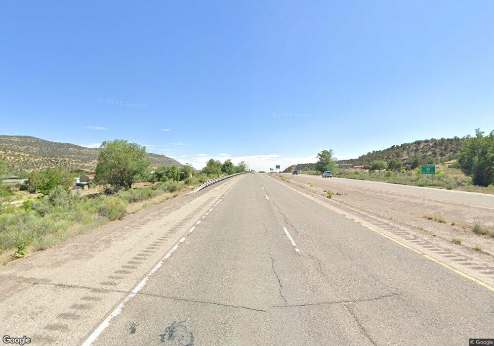
46850 Highway 550 Unit 1 Durango, CO 81301
Estimated Value: $507,485 - $741,000
2
Beds
2
Baths
1,267
Sq Ft
$485/Sq Ft
Est. Value
About This Home
This home is located at 46850 Highway 550 Unit 1, Durango, CO 81301 and is currently estimated at $615,121, approximately $485 per square foot. 46850 Highway 550 Unit 1 is a home located in La Plata County with nearby schools including Animas Valley Elementary School, Miller Middle School, and Durango High School.
Ownership History
Date
Name
Owned For
Owner Type
Purchase Details
Closed on
Jan 25, 2021
Sold by
Schmittendorf David and Schmittendorf Susanne
Bought by
Radding Jonathan
Current Estimated Value
Purchase Details
Closed on
Oct 5, 2015
Sold by
Kemp Charles D and Kemp Jane K
Bought by
Schmittendorf David and Schmittendorf Susanne
Home Financials for this Owner
Home Financials are based on the most recent Mortgage that was taken out on this home.
Original Mortgage
$136,000
Interest Rate
3.85%
Mortgage Type
Unknown
Purchase Details
Closed on
Oct 5, 2005
Sold by
Caldwell Kevin M and Caldwell Nancy J
Bought by
Kemp Charles D and Kemp Jane K
Purchase Details
Closed on
Feb 25, 2005
Sold by
Boyer Jacqueline R
Bought by
Boyer Randy K
Purchase Details
Closed on
Jun 16, 1995
Bought by
Schmittendorf David and Schmittendorf Susanne
Create a Home Valuation Report for This Property
The Home Valuation Report is an in-depth analysis detailing your home's value as well as a comparison with similar homes in the area
Home Values in the Area
Average Home Value in this Area
Purchase History
| Date | Buyer | Sale Price | Title Company |
|---|---|---|---|
| Radding Jonathan | -- | None Listed On Document | |
| Schmittendorf David | $170,000 | Colorado Title & Closing Ser | |
| Kemp Charles D | $280,000 | Land Title | |
| Boyer Randy K | -- | Land Title | |
| Schmittendorf David | $86,000 | -- |
Source: Public Records
Mortgage History
| Date | Status | Borrower | Loan Amount |
|---|---|---|---|
| Previous Owner | Schmittendorf David | $136,000 |
Source: Public Records
Tax History Compared to Growth
Tax History
| Year | Tax Paid | Tax Assessment Tax Assessment Total Assessment is a certain percentage of the fair market value that is determined by local assessors to be the total taxable value of land and additions on the property. | Land | Improvement |
|---|---|---|---|---|
| 2025 | $919 | $31,000 | -- | $31,000 |
| 2024 | $787 | $18,740 | -- | $18,740 |
| 2023 | $787 | $21,630 | $0 | $21,630 |
| 2022 | $694 | $23,260 | $0 | $23,260 |
| 2021 | $697 | $16,810 | $0 | $16,810 |
| 2020 | $576 | $14,310 | $0 | $14,310 |
| 2019 | $552 | $14,310 | $0 | $14,310 |
| 2018 | $484 | $12,570 | $0 | $12,570 |
| 2017 | $474 | $12,570 | $0 | $12,570 |
Source: Public Records
Map
Nearby Homes
- 212 Two Dogs Trail
- 75 Falcon Ridge Rd
- 154 Falcon Ridge Rd
- 350 Falcon Ridge Rd
- 367 Two Dogs Trail
- Lot 37 Falcon Ridge Rd
- 464 Pinnacle View Dr
- 156 Story Fork Rd
- 809 Columbine Rd
- 155 Long Story Rd
- 47632 Highway 550
- 247 Scotch Creek Dr
- 311 Wilshire Dr
- 204 Wilshire Dr
- 30 Aspen Cir
- 48 Ponderosa Way
- 401 Wilshire Dr
- 1950 Lake Purgatory Dr
- 122 Ponderosa Way
- 67 Big Pine Trail
- 46850 Highway 550 Unit 150
- 46850 Highway 550 Unit 240
- 46850 Highway 550 Unit 220
- 46850 Highway 550 Unit 425
- 46850 Highway 550 Unit 3
- 46850 Highway 550 Unit 3
- 46850 Highway 550 Unit 3
- 46850 Highway 550 Unit 1
- 46850 Highway 550 Unit 1
- 46850 Highway 550 Unit 1
- 46850 Highway 550 Unit 1
- 46850 Highway 550 Unit 1
- 46850 Highway 550 Unit 65
- 46850 Highway 550 Unit 4
- 46850 Highway 550 Unit 4
- 46850 Highway 550 Unit 4
- 46850 Highway 550 Unit 25
- 46850 Highway 550 Unit 4
- 46850 Highway 550 Unit 2
- 46850 Highway 550 Unit 2
