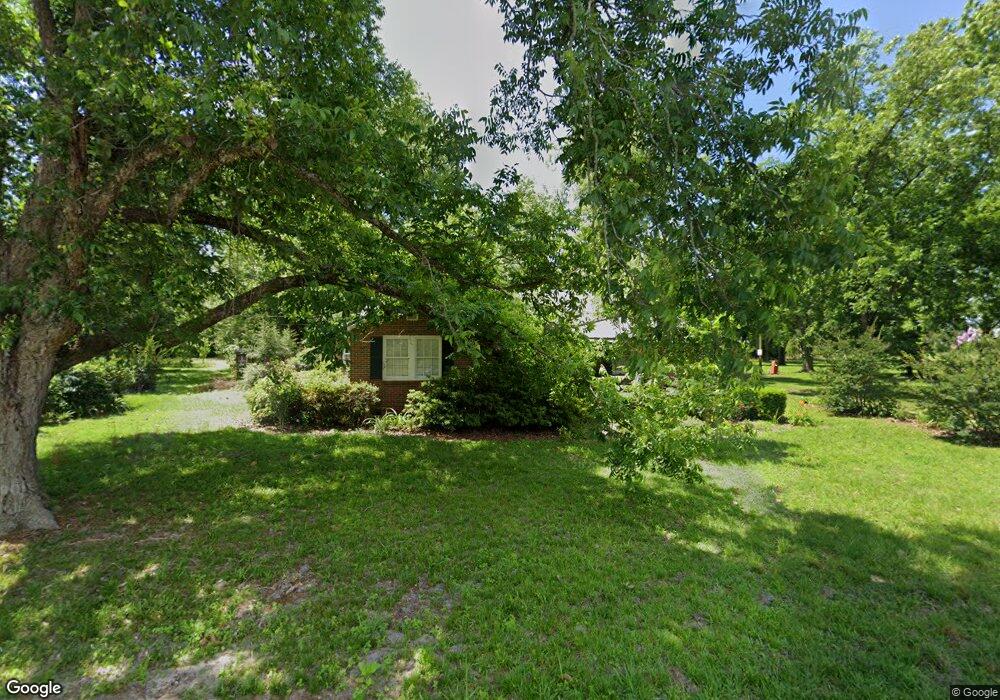
469 Landfill Rd Cordele, GA 31015
Estimated Value: $156,758 - $266,000
3
Beds
3
Baths
1,580
Sq Ft
$133/Sq Ft
Est. Value
About This Home
This home is located at 469 Landfill Rd, Cordele, GA 31015 and is currently estimated at $210,440, approximately $133 per square foot. 469 Landfill Rd is a home located in Crisp County with nearby schools including Crisp County Primary School, Crisp County Elementary School, and Crisp County Middle School.
Ownership History
Date
Name
Owned For
Owner Type
Purchase Details
Closed on
Apr 29, 2016
Sold by
Tuton Marie S
Bought by
Gilliam Imogene S
Current Estimated Value
Purchase Details
Closed on
Oct 12, 2012
Sold by
Stephens Henry David
Bought by
Stephens Henry David and Gilliam Imogene S
Purchase Details
Closed on
Dec 31, 2010
Sold by
Stephens Ima G
Bought by
Gilliam Imogene As Trustee
Purchase Details
Closed on
Aug 22, 1995
Bought by
Stephens Stephens H and Stephens Ima
Create a Home Valuation Report for This Property
The Home Valuation Report is an in-depth analysis detailing your home's value as well as a comparison with similar homes in the area
Home Values in the Area
Average Home Value in this Area
Purchase History
| Date | Buyer | Sale Price | Title Company |
|---|---|---|---|
| Gilliam Imogene S | $35,500 | -- | |
| Stephens Henry David | -- | -- | |
| Stephen Henry David | -- | -- | |
| Gilliam Imogene As Trustee | -- | -- | |
| Stephens Stephens H | -- | -- |
Source: Public Records
Tax History Compared to Growth
Tax History
| Year | Tax Paid | Tax Assessment Tax Assessment Total Assessment is a certain percentage of the fair market value that is determined by local assessors to be the total taxable value of land and additions on the property. | Land | Improvement |
|---|---|---|---|---|
| 2024 | $1,309 | $48,341 | $2,313 | $46,028 |
| 2023 | $1,288 | $45,877 | $2,313 | $43,564 |
| 2022 | $1,206 | $42,950 | $1,850 | $41,100 |
| 2021 | $1,201 | $40,487 | $1,850 | $38,637 |
| 2020 | $1,202 | $40,487 | $1,850 | $38,637 |
| 2019 | $1,195 | $40,487 | $1,850 | $38,637 |
| 2018 | $993 | $32,420 | $2,783 | $29,637 |
| 2017 | $997 | $32,420 | $2,783 | $29,637 |
| 2016 | $996 | $32,420 | $2,783 | $29,637 |
| 2015 | -- | $32,420 | $2,783 | $29,637 |
| 2014 | -- | $32,420 | $2,783 | $29,637 |
| 2013 | -- | $32,420 | $2,783 | $29,637 |
Source: Public Records
Map
Nearby Homes
- 2776 2776 S Ga 41 Hwy
- 501 Southern Lakes Dr
- 221 1st St W
- 2608 U S 41
- 104 4th St
- 718 Jamestown Rd
- TBD Arabi Warwick Rd
- 141 Ruby St
- 157 Bobwhite Dr
- 112 Judy Ave
- 2298 U S 41
- 11 Lochridge Way
- 2115 Royal Rd
- 2413 Old Hatley Rd
- 104 Aberdeen Cir
- 114 Brier Patch Rd
- 68 Aberdeen Cir
- 2905 Old Hatley Rd
- 0 Aberdeen Circle Lt# 28
- TBD Aberdeen Circle Lt# 28
- 523 Landfill Rd
- 522 Landfill Rd
- 790 Ga Highway 33 S
- 790 Ga Highway 33 S
- 790 S Hwy 33
- 794 Ga Highway 33 S
- 794 Ga Highway 33 S
- 684 Ga Highway 33 S
- 0 Georgia 33
- 805 Ga Highway 33 S
- 827 Ga Highway 33 S
- 827 Ga Highway 33 S
- 679 Ga Highway 33 S
- 239 Big Jim Rd
- Big Jim Big Jim Rd
- 186 big 186 Big Jim Rd
- 260 Big Jim Rd
- 919 Ga Highway 33 S
- 599 Ga Highway 33 S
- 599 Ga Highway 33 S