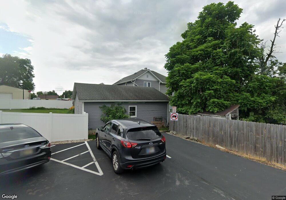
469 Main St Whiteland, IN 46184
Estimated Value: $299,046 - $347,000
4
Beds
2
Baths
2,324
Sq Ft
$136/Sq Ft
Est. Value
About This Home
This home is located at 469 Main St, Whiteland, IN 46184 and is currently estimated at $317,012, approximately $136 per square foot. 469 Main St is a home located in Johnson County with nearby schools including Whiteland Elementary School, Clark-Pleasant Middle School, and Whiteland Community High School.
Ownership History
Date
Name
Owned For
Owner Type
Purchase Details
Closed on
Mar 30, 2007
Sold by
Scott Raymond D and Scott Shirley Lucille
Bought by
Jarrett Brett R and Jarrett Susan J
Current Estimated Value
Home Financials for this Owner
Home Financials are based on the most recent Mortgage that was taken out on this home.
Original Mortgage
$95,000
Outstanding Balance
$57,027
Interest Rate
6.2%
Mortgage Type
New Conventional
Estimated Equity
$259,985
Create a Home Valuation Report for This Property
The Home Valuation Report is an in-depth analysis detailing your home's value as well as a comparison with similar homes in the area
Home Values in the Area
Average Home Value in this Area
Purchase History
| Date | Buyer | Sale Price | Title Company |
|---|---|---|---|
| Jarrett Brett R | -- | None Available |
Source: Public Records
Mortgage History
| Date | Status | Borrower | Loan Amount |
|---|---|---|---|
| Open | Jarrett Brett R | $95,000 |
Source: Public Records
Tax History Compared to Growth
Tax History
| Year | Tax Paid | Tax Assessment Tax Assessment Total Assessment is a certain percentage of the fair market value that is determined by local assessors to be the total taxable value of land and additions on the property. | Land | Improvement |
|---|---|---|---|---|
| 2025 | $2,022 | $241,600 | $52,700 | $188,900 |
| 2024 | $2,022 | $197,700 | $52,700 | $145,000 |
| 2023 | $2,003 | $192,300 | $52,700 | $139,600 |
| 2022 | $1,603 | $155,500 | $35,100 | $120,400 |
| 2021 | $1,453 | $140,700 | $35,100 | $105,600 |
| 2020 | $1,333 | $130,000 | $35,100 | $94,900 |
| 2019 | $1,347 | $130,000 | $35,100 | $94,900 |
| 2018 | $1,265 | $124,700 | $26,900 | $97,800 |
| 2017 | $1,257 | $123,900 | $26,900 | $97,000 |
| 2016 | $1,248 | $123,900 | $26,900 | $97,000 |
| 2014 | $1,199 | $119,000 | $23,300 | $95,700 |
| 2013 | $1,199 | $118,700 | $23,300 | $95,400 |
Source: Public Records
Map
Nearby Homes
- 650 E Pearl St
- 630 Walnut St
- 180 Briar Hill Dr
- 320 Briar Hill Dr
- 657 Whiteland Rd
- 545 Whiteland Rd
- 510 Greensprings Dr
- 111 Ames Dr
- 131 Ames Dr
- 141 Ames Dr
- Henley Plan at Saddlebrook Farms
- Fairfax Plan at Saddlebrook Farms - North
- 841 E Pearl St
- Henley Plan at Saddlebrook Farms - North
- Freeport Plan at Saddlebrook Farms - North
- Johnstown Plan at Saddlebrook Farms - North
- Dayton Plan at Saddlebrook Farms - North
- Chatham Plan at Saddlebrook Farms - North
- Dayton Plan at Saddlebrook Farms
- Harmony Plan at Saddlebrook Farms - North