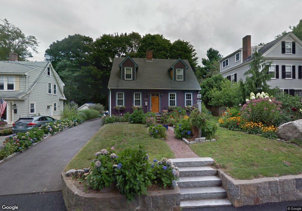
469 Pleasant St Milton, MA 02186
Milton Hill NeighborhoodEstimated Value: $1,061,430 - $1,218,000
3
Beds
2
Baths
2,026
Sq Ft
$567/Sq Ft
Est. Value
About This Home
This home is located at 469 Pleasant St, Milton, MA 02186 and is currently estimated at $1,148,358, approximately $566 per square foot. 469 Pleasant St is a home located in Norfolk County with nearby schools including Milton High School, Codman Academy Charter Public School, and Conservatory Lab Upper School.
Ownership History
Date
Name
Owned For
Owner Type
Purchase Details
Closed on
Jun 19, 2003
Sold by
Mcdonough Barbara and Cocoris Barbara S
Bought by
White Kevin M and White Meredith J
Current Estimated Value
Home Financials for this Owner
Home Financials are based on the most recent Mortgage that was taken out on this home.
Original Mortgage
$365,000
Outstanding Balance
$159,075
Interest Rate
5.71%
Mortgage Type
Purchase Money Mortgage
Estimated Equity
$989,283
Create a Home Valuation Report for This Property
The Home Valuation Report is an in-depth analysis detailing your home's value as well as a comparison with similar homes in the area
Home Values in the Area
Average Home Value in this Area
Purchase History
| Date | Buyer | Sale Price | Title Company |
|---|---|---|---|
| White Kevin M | $518,000 | -- |
Source: Public Records
Mortgage History
| Date | Status | Borrower | Loan Amount |
|---|---|---|---|
| Open | White Kevin M | $365,000 |
Source: Public Records
Tax History Compared to Growth
Tax History
| Year | Tax Paid | Tax Assessment Tax Assessment Total Assessment is a certain percentage of the fair market value that is determined by local assessors to be the total taxable value of land and additions on the property. | Land | Improvement |
|---|---|---|---|---|
| 2025 | $9,968 | $898,800 | $418,900 | $479,900 |
| 2024 | $9,741 | $892,000 | $398,900 | $493,100 |
| 2023 | $9,558 | $838,400 | $380,100 | $458,300 |
| 2022 | $9,184 | $736,500 | $380,100 | $356,400 |
| 2021 | $8,844 | $673,600 | $334,200 | $339,400 |
| 2020 | $8,788 | $669,800 | $320,200 | $349,600 |
| 2019 | $8,570 | $650,200 | $310,800 | $339,400 |
| 2018 | $7,564 | $547,700 | $286,900 | $260,800 |
| 2017 | $7,069 | $521,300 | $273,200 | $248,100 |
| 2016 | $6,853 | $507,600 | $259,500 | $248,100 |
| 2015 | $6,446 | $462,400 | $219,900 | $242,500 |
Source: Public Records
Map
Nearby Homes
- 46 Century Ln
- 639 Pleasant St Unit 639
- 639 Pleasant St
- 397 Adams St
- 400 Adams St Unit A
- 71 Governors Rd
- 312 Edge Hill Rd
- 29 Maitland St
- 111-113 Pleasant St
- 141 Gardiner Rd
- 111 Shawmut St
- 403405 Reedsdale Rd
- 41 Wallace Rd
- 135 Willard St Unit 8
- 675 Randolph Ave
- 18 Eaton St
- 65 Barham Ave
- 171 Milton St
- 407 Highland St
- 43 Hilma St
- 475 Pleasant St
- 463 Pleasant St
- 479 Pleasant St
- 459 Pleasant St
- 485 Pleasant St
- 470 Pleasant St
- 476 Pleasant St
- 464 Pleasant St
- 482 Pleasant St
- 458 Pleasant St
- 489 Pleasant St
- 449 Pleasant St
- 454 Pleasant St
- 6 Gordon Rd
- 14 Gordon Rd
- 20 Gordon Rd
- 495 Pleasant St
- 25 Vinewood Rd
- 19 Vinewood Rd
- 11 Vinewood Rd