469 River Rd Bowdoinham, ME 04008
Estimated Value: $283,000 - $329,919
2
Beds
2
Baths
832
Sq Ft
$375/Sq Ft
Est. Value
About This Home
This home is located at 469 River Rd, Bowdoinham, ME 04008 and is currently estimated at $312,306, approximately $375 per square foot. 469 River Rd is a home located in Sagadahoc County with nearby schools including Mt Ararat High School.
Ownership History
Date
Name
Owned For
Owner Type
Purchase Details
Closed on
Sep 13, 2013
Sold by
Obrien Jacob A and Obrien Kymm M
Bought by
Carlson Clyde C
Current Estimated Value
Home Financials for this Owner
Home Financials are based on the most recent Mortgage that was taken out on this home.
Original Mortgage
$118,400
Outstanding Balance
$88,459
Interest Rate
4.43%
Mortgage Type
New Conventional
Estimated Equity
$223,847
Purchase Details
Closed on
Jun 30, 2008
Sold by
Martin Melody S
Bought by
Obrien Jacob A and Carlson Kymm M
Home Financials for this Owner
Home Financials are based on the most recent Mortgage that was taken out on this home.
Original Mortgage
$157,035
Interest Rate
6.07%
Mortgage Type
FHA
Create a Home Valuation Report for This Property
The Home Valuation Report is an in-depth analysis detailing your home's value as well as a comparison with similar homes in the area
Home Values in the Area
Average Home Value in this Area
Purchase History
| Date | Buyer | Sale Price | Title Company |
|---|---|---|---|
| Carlson Clyde C | -- | -- | |
| Obrien Jacob A | -- | -- |
Source: Public Records
Mortgage History
| Date | Status | Borrower | Loan Amount |
|---|---|---|---|
| Open | Carlson Clyde C | $118,400 | |
| Previous Owner | Obrien Jacob A | $155,594 | |
| Previous Owner | Obrien Jacob A | $157,035 | |
| Previous Owner | Obrien Jacob A | $36,000 |
Source: Public Records
Tax History Compared to Growth
Tax History
| Year | Tax Paid | Tax Assessment Tax Assessment Total Assessment is a certain percentage of the fair market value that is determined by local assessors to be the total taxable value of land and additions on the property. | Land | Improvement |
|---|---|---|---|---|
| 2024 | $3,669 | $174,700 | $77,100 | $97,600 |
| 2023 | $3,407 | $174,700 | $77,100 | $97,600 |
| 2022 | $2,619 | $144,800 | $64,300 | $80,500 |
| 2021 | $2,457 | $144,800 | $64,300 | $80,500 |
| 2020 | $2,443 | $144,800 | $64,300 | $80,500 |
| 2019 | $2,385 | $144,800 | $64,300 | $80,500 |
| 2018 | $2,254 | $131,400 | $64,300 | $67,100 |
| 2017 | $2,214 | $131,400 | $64,300 | $67,100 |
| 2016 | $2,175 | $131,400 | $64,300 | $67,100 |
| 2015 | $2,162 | $131,400 | $64,300 | $67,100 |
| 2014 | $2,135 | $131,400 | $64,300 | $67,100 |
| 2013 | $2,033 | $132,000 | $64,300 | $67,700 |
Source: Public Records
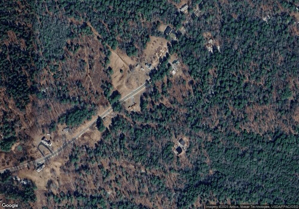
Map
Nearby Homes
- 0 White Rd
- 143 White Rd
- 83 Hemlock Hill Ln
- 744 Ridge Rd
- 458 Carding MacHine Rd
- 110 Chopps Cross Rd
- Lot 08 Sara's Way
- 00 Skillings Dr
- Lot 11E Baker Dr
- 20 Eagle Point Rd
- 852 River Rd
- 0 Norway Dr
- 10 Cork Cove Ln
- 107 Stevenson Way
- 137 S Pleasant St
- 36.5 Acres Augusta Rd
- 258 Dingley Rd
- 185 Pleasant St
- 24 Stone Ridge Ln
- 14 Hedge Bridge Rd