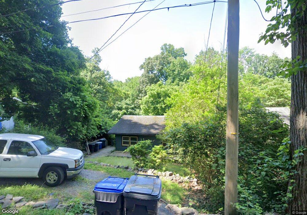
469 Rock Cliff Rd Emmaus, PA 18049
Southside NeighborhoodEstimated Value: $112,000 - $253,000
3
Beds
1
Bath
480
Sq Ft
$380/Sq Ft
Est. Value
About This Home
This home is located at 469 Rock Cliff Rd, Emmaus, PA 18049 and is currently estimated at $182,546, approximately $380 per square foot. 469 Rock Cliff Rd is a home located in Lehigh County with nearby schools including Donahoe Elementary School, Dumbarton Elementary School, and Salisbury Elementary School.
Ownership History
Date
Name
Owned For
Owner Type
Purchase Details
Closed on
Sep 1, 2010
Sold by
Obrien Mark S
Bought by
Sampson Edward W
Current Estimated Value
Purchase Details
Closed on
Oct 27, 2005
Sold by
Fenstermaker Scot L and Fenstermaker Shirley
Bought by
Obrien Roy
Home Financials for this Owner
Home Financials are based on the most recent Mortgage that was taken out on this home.
Original Mortgage
$49,600
Interest Rate
5.79%
Mortgage Type
Purchase Money Mortgage
Purchase Details
Closed on
Dec 20, 2001
Sold by
Fenstermaker Scot L
Bought by
Fenstermaker Scot L and Hillegass Shirley
Purchase Details
Closed on
Sep 25, 1998
Sold by
Fenstermaker Scot L and Fenstermaker Kathy L
Bought by
Fenstermaker Scot L
Purchase Details
Closed on
Mar 26, 1991
Bought by
Fenstermaker Scot L and Fenstermaker Kathy L
Create a Home Valuation Report for This Property
The Home Valuation Report is an in-depth analysis detailing your home's value as well as a comparison with similar homes in the area
Home Values in the Area
Average Home Value in this Area
Purchase History
| Date | Buyer | Sale Price | Title Company |
|---|---|---|---|
| Sampson Edward W | $27,000 | -- | |
| Obrien Roy | $62,000 | None Available | |
| Fenstermaker Scot L | $21,783 | -- | |
| Fenstermaker Scot L | -- | -- | |
| Fenstermaker Scot L | $53,000 | -- |
Source: Public Records
Mortgage History
| Date | Status | Borrower | Loan Amount |
|---|---|---|---|
| Previous Owner | Obrien Roy | $49,600 |
Source: Public Records
Tax History Compared to Growth
Tax History
| Year | Tax Paid | Tax Assessment Tax Assessment Total Assessment is a certain percentage of the fair market value that is determined by local assessors to be the total taxable value of land and additions on the property. | Land | Improvement |
|---|---|---|---|---|
| 2025 | $1,981 | $62,900 | $19,200 | $43,700 |
| 2024 | $1,893 | $62,900 | $19,200 | $43,700 |
| 2023 | $1,795 | $62,900 | $19,200 | $43,700 |
| 2022 | $1,750 | $62,900 | $43,700 | $19,200 |
| 2021 | $1,680 | $62,900 | $19,200 | $43,700 |
| 2020 | $1,615 | $62,900 | $19,200 | $43,700 |
| 2019 | $1,556 | $62,900 | $19,200 | $43,700 |
| 2018 | $1,528 | $62,900 | $19,200 | $43,700 |
| 2017 | $1,489 | $62,900 | $19,200 | $43,700 |
| 2016 | -- | $62,900 | $19,200 | $43,700 |
| 2015 | -- | $62,900 | $19,200 | $43,700 |
| 2014 | -- | $62,900 | $19,200 | $43,700 |
Source: Public Records
Map
Nearby Homes
- 340 Chestnut Hill Rd
- 118 N 2nd St
- 120 N 2nd St
- 101 E George St
- 521 Wood St
- 569 Chestnut St Unit 571
- 543 Long St
- 618 Broad St
- 529 Dalton St Unit 539
- 558 Beechwood St
- 659 Broad St
- 540 E Greenleaf St
- 657 Walnut St
- 635 E Berger St
- 3011 Ithaca St
- 5031 Hunter Ln
- 3601 Country Club Rd
- 2616 Arch St SW
- 2571 Brunner Rd
- 2545 Mountain Ln
- 475 Rock Cliff Rd
- 465 Rock Cliff Rd
- 470 Rock Cliff Rd
- 465 Stoneridge Rd
- 93 Chestnut Hill Rd
- 449 Stoneridge Rd
- 455 Stoneridge Rd
- 475 Stoneridge Rd
- 91 Chestnut Hill Rd
- 87 Chestnut Hill Rd
- 95 Chestnut Hill Rd
- 484 Stoneridge Rd
- 444 Rock Cliff Rd
- 451 Rock Cliff Rd
- 460 Stoneridge Rd
- 450 Stoneridge Rd
- 445 Rock Cliff Rd
- 83 Chestnut Hill Rd
- 121 Chestnut Hill Rd
- 435 Stoneridge Rd