Estimated Value: $334,961 - $443,000
Studio
2
Baths
2,420
Sq Ft
$162/Sq Ft
Est. Value
About This Home
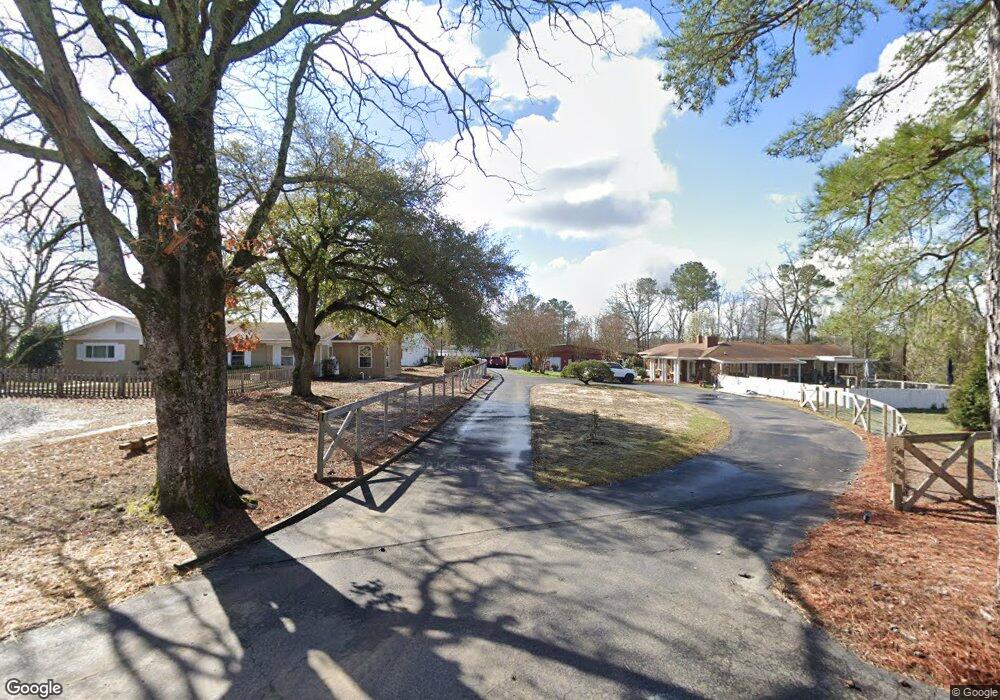
This home is located at 469 Rollins Rd, Vass, NC 28394 and is currently estimated at $391,490, approximately $161 per square foot. 469 Rollins Rd is a home located in Moore County with nearby schools including Vass-Lakeview Elementary School, Crain's Creek Middle School, and Union Pines High School.
Ownership History
Date
Name
Owned For
Owner Type
Purchase Details
Closed on
Jul 16, 2020
Sold by
Whitaker Mary R
Bought by
Simons Jordan Dean and Simons Krista Leigh
Current Estimated Value
Purchase Details
Closed on
Dec 23, 2014
Sold by
Whitaker Leonard H and Whitaker Mary R
Bought by
Simons Jordan Dean and Simons Krista Leigh
Home Financials for this Owner
Home Financials are based on the most recent Mortgage that was taken out on this home.
Original Mortgage
$149,000
Interest Rate
4.07%
Mortgage Type
New Conventional
Purchase Details
Closed on
Feb 18, 1986
Sold by
Whitaker Leonard and Whitaker Mary
Bought by
Simons Jordan Dean and Krista Leigh
Create a Home Valuation Report for This Property
The Home Valuation Report is an in-depth analysis detailing your home's value as well as a comparison with similar homes in the area
Home Values in the Area
Average Home Value in this Area
Purchase History
| Date | Buyer | Sale Price | Title Company |
|---|---|---|---|
| Simons Jordan Dean | -- | None Available | |
| Simons Jordan Dean | $187,000 | None Available | |
| Simons Jordan Dean | -- | -- |
Source: Public Records
Mortgage History
| Date | Status | Borrower | Loan Amount |
|---|---|---|---|
| Previous Owner | Simons Jordan Dean | $149,000 |
Source: Public Records
Tax History
| Year | Tax Paid | Tax Assessment Tax Assessment Total Assessment is a certain percentage of the fair market value that is determined by local assessors to be the total taxable value of land and additions on the property. | Land | Improvement |
|---|---|---|---|---|
| 2025 | $1,190 | $283,450 | $35,240 | $248,210 |
| 2024 | $1,233 | $283,450 | $35,240 | $248,210 |
| 2023 | $1,290 | $283,450 | $35,240 | $248,210 |
| 2022 | $1,262 | $200,240 | $20,250 | $179,990 |
| 2021 | $1,312 | $200,240 | $20,250 | $179,990 |
| 2020 | $1,292 | $178,570 | $20,250 | $158,320 |
| 2019 | $1,292 | $200,240 | $20,250 | $179,990 |
| 2018 | $1,133 | $188,790 | $20,250 | $168,540 |
| 2017 | $1,104 | $188,790 | $20,250 | $168,540 |
| 2015 | $1,067 | $188,790 | $20,250 | $168,540 |
| 2014 | -- | $750 | $750 | $0 |
Source: Public Records
Map
Nearby Homes
- 5125 Route 1
- 113 Woodford Ln
- 250 Elijah Way
- 262 Elijah Way
- 279 Elijah Way
- 133 Michter St Unit 45
- 133 Michter St
- 147 Michter St Unit 42
- 147 Michter St
- 120 Michter St
- 120 Michter St Unit 70
- 128 Michter St Unit 69
- 128 Michter St
- 132 Michter St
- 151 Michter St
- 151 Michter St Unit 41
- 113 Michter St
- 113 Michter St Unit 51
- 155 Michter St Unit 40
- 155 Michter St
- 467 Rollins Rd
- 128 Rollins Rd
- 464 Rollins Rd
- 480 Rollins Rd
- 0 Rollins Rd
- 236 Forester Dr
- 439 Rollins Rd
- 237 Forester Dr
- 228 Forester Dr
- 455 James St
- 455 James St
- 455 Rollins Rd
- 430 Rollins Rd
- 233 Forester Dr
- 109 Whitaker Ct
- 224 Forester Dr
- 108 Whitaker Ct
- 229 Forester Dr
- 420 Rollins Rd
- 220 Forester Dr
Your Personal Tour Guide
Ask me questions while you tour the home.