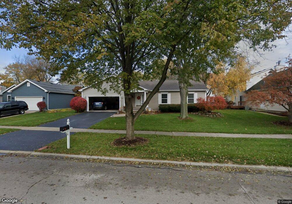
469 Spring St Geneva, IL 60134
Northeast Central Geneva NeighborhoodEstimated Value: $402,000 - $502,000
3
Beds
2
Baths
1,621
Sq Ft
$279/Sq Ft
Est. Value
About This Home
This home is located at 469 Spring St, Geneva, IL 60134 and is currently estimated at $452,833, approximately $279 per square foot. 469 Spring St is a home located in Kane County with nearby schools including Harrison Street Elementary School, Geneva Community High School, and St. Peter School.
Ownership History
Date
Name
Owned For
Owner Type
Purchase Details
Closed on
Oct 17, 2008
Sold by
Charter Milton C
Bought by
Brigham Donald and Brigham Faye
Current Estimated Value
Home Financials for this Owner
Home Financials are based on the most recent Mortgage that was taken out on this home.
Original Mortgage
$235,000
Outstanding Balance
$152,547
Interest Rate
5.94%
Mortgage Type
Purchase Money Mortgage
Estimated Equity
$300,286
Purchase Details
Closed on
Aug 22, 2005
Sold by
Charter Milton C
Bought by
Charter Milton C and Trust Of Milton C Charter
Create a Home Valuation Report for This Property
The Home Valuation Report is an in-depth analysis detailing your home's value as well as a comparison with similar homes in the area
Home Values in the Area
Average Home Value in this Area
Purchase History
| Date | Buyer | Sale Price | Title Company |
|---|---|---|---|
| Brigham Donald | $327,000 | Fox Title Company | |
| Charter Milton C | -- | -- |
Source: Public Records
Mortgage History
| Date | Status | Borrower | Loan Amount |
|---|---|---|---|
| Open | Brigham Donald | $235,000 |
Source: Public Records
Tax History
| Year | Tax Paid | Tax Assessment Tax Assessment Total Assessment is a certain percentage of the fair market value that is determined by local assessors to be the total taxable value of land and additions on the property. | Land | Improvement |
|---|---|---|---|---|
| 2024 | $6,695 | $103,991 | $27,964 | $76,027 |
| 2023 | $6,443 | $94,537 | $25,422 | $69,115 |
| 2022 | $6,416 | $87,843 | $23,622 | $64,221 |
| 2021 | $6,627 | $84,578 | $22,744 | $61,834 |
| 2020 | $6,549 | $83,287 | $22,397 | $60,890 |
| 2019 | $6,528 | $81,710 | $21,973 | $59,737 |
| 2018 | $6,083 | $76,651 | $21,973 | $54,678 |
| 2017 | $6,010 | $74,607 | $21,387 | $53,220 |
| 2016 | $5,707 | $69,909 | $21,098 | $48,811 |
| 2015 | -- | $66,466 | $20,059 | $46,407 |
| 2014 | -- | $66,466 | $20,059 | $46,407 |
| 2013 | -- | $73,554 | $20,059 | $53,495 |
Source: Public Records
Map
Nearby Homes
- 38 Crissey Ave
- 228 Crissey Ave
- 111 Ridge Ln
- Lot 31 Fox Run Dr
- 202 N Bennett St
- 401 S 1st St
- 405 S 1st St
- 142 Aberdeen Ct
- 111 Aberdeen Ct
- 146 Franklin St
- 119 N 1st St
- 10 Ford St Unit 306
- 10 Ford St Unit 103
- 551 N 1st St
- 1238 Alexandria Ct Unit 4
- 1527 Kirkwood Dr Unit 1527
- 000 Averill Cir
- 422 Hamilton St
- 501 Elm Ave
- 720 Lancaster Ln
- 459 Spring St
- 180 S Harrison St
- 160 S Harrison St
- 117 Kansas St Unit 4
- 109 Kansas St
- 480 Spring St
- 204 S Harrison St
- 101 Kansas St
- 203 Kansas St
- 100 S Harrison St
- 130 S Harrison St
- 214 S Harrison St
- 103 Kansas St
- 181 S Harrison St
- 216 S Harrison St
- 161 S Harrison St
- 207 Kansas St
- 205 S Harrison St Unit 1
- 224 S Harrison St
- 120 Kansas St
Your Personal Tour Guide
Ask me questions while you tour the home.