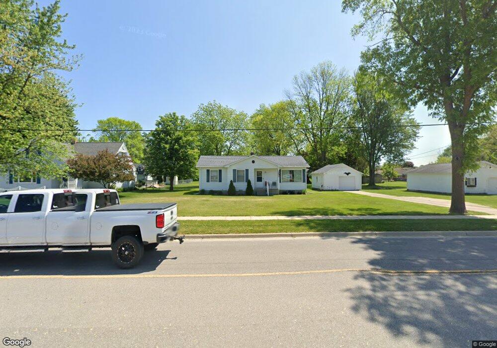
4691 Garfield Rd Auburn, MI 48611
Estimated Value: $141,000 - $181,000
--
Bed
--
Bath
1,048
Sq Ft
$154/Sq Ft
Est. Value
About This Home
This home is located at 4691 Garfield Rd, Auburn, MI 48611 and is currently estimated at $160,906, approximately $153 per square foot. 4691 Garfield Rd is a home located in Bay County with nearby schools including Thrasher Attendance Center, Auburn Elementary School, and Western Middle School.
Ownership History
Date
Name
Owned For
Owner Type
Purchase Details
Closed on
Jun 2, 2021
Sold by
Friebe Thomas J and Friebe William H
Bought by
Gaiser Amber Rose
Current Estimated Value
Home Financials for this Owner
Home Financials are based on the most recent Mortgage that was taken out on this home.
Original Mortgage
$92,000
Outstanding Balance
$83,295
Interest Rate
2.9%
Mortgage Type
New Conventional
Estimated Equity
$77,611
Purchase Details
Closed on
Apr 29, 1999
Sold by
Friebe William H and Friebe Laurretta L
Bought by
Friebe William H and Friebe Lauretta L
Create a Home Valuation Report for This Property
The Home Valuation Report is an in-depth analysis detailing your home's value as well as a comparison with similar homes in the area
Home Values in the Area
Average Home Value in this Area
Purchase History
| Date | Buyer | Sale Price | Title Company |
|---|---|---|---|
| Gaiser Amber Rose | $120,000 | None Available | |
| Friebe William H | -- | None Available | |
| Friebe William H | -- | -- |
Source: Public Records
Mortgage History
| Date | Status | Borrower | Loan Amount |
|---|---|---|---|
| Open | Gaiser Amber Rose | $92,000 |
Source: Public Records
Tax History Compared to Growth
Tax History
| Year | Tax Paid | Tax Assessment Tax Assessment Total Assessment is a certain percentage of the fair market value that is determined by local assessors to be the total taxable value of land and additions on the property. | Land | Improvement |
|---|---|---|---|---|
| 2025 | $2,643 | $67,800 | $0 | $0 |
| 2024 | $2,070 | $60,000 | $0 | $0 |
| 2023 | $1,971 | $54,100 | $0 | $0 |
| 2022 | $2,380 | $50,200 | $0 | $0 |
| 2021 | $1,837 | $48,300 | $48,300 | $0 |
| 2020 | $1,724 | $39,500 | $39,500 | $0 |
| 2019 | $1,667 | $38,600 | $0 | $0 |
| 2018 | $1,687 | $39,400 | $0 | $0 |
| 2017 | $1,559 | $38,600 | $0 | $0 |
| 2016 | $1,504 | $38,000 | $0 | $38,000 |
| 2015 | -- | $38,500 | $0 | $38,500 |
| 2014 | -- | $37,700 | $0 | $37,700 |
Source: Public Records
Map
Nearby Homes
- 0 W North Union Rd Unit 50166876
- 4760 Putt Ln
- 305 Renshar Dr
- 4648 Meadow Ct
- 319 Price St
- 1365 W North Union Rd
- 0 Court St
- 544 W North Union Rd
- 0 S Auburn Rd
- 1598 Fisherville Ct
- 1587 Fisherville Ct
- 267 W Midland Rd
- 4649 Stephanie Ct
- 4806 Northridge
- 1954 W Midland Rd
- 2011 Prairie Point Dr
- Parcel 175 Joan Dr
- 5749 11 Mile Rd
- 0 W Midland Rd Unit 50189337
- 0 W Midland Rd Unit 50152278
- 4677 Garfield Rd
- 4701 Garfield Rd
- 4701 S Garfield Rd
- 4728 Garfield Rd
- 4671 Garfield Rd
- 213 Maple St
- 4707 Garfield Rd
- 217 Maple St
- 205 Maple St
- 4663 Garfield Rd
- 209 Maple St
- 201 Maple St
- 0 N Garfield Rd
- 4717 Garfield Rd
- 4714 Garfield Rd
- 301 Maple St
- 4653 Garfield Rd
- 113 Maple St
- 113 Maple Dr
- 208 Maple St