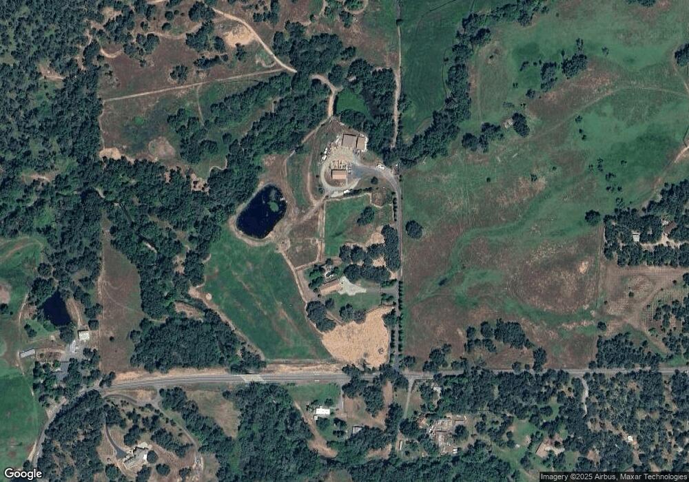
4691 Wise Rd Lincoln, CA 95648
Estimated Value: $781,000 - $1,184,216
4
Beds
3
Baths
2,760
Sq Ft
$370/Sq Ft
Est. Value
About This Home
This home is located at 4691 Wise Rd, Lincoln, CA 95648 and is currently estimated at $1,021,304, approximately $370 per square foot. 4691 Wise Rd is a home located in Placer County with nearby schools including Carlin C. Coppin Elementary, Glen Edwards Middle, and Lincoln High.
Ownership History
Date
Name
Owned For
Owner Type
Purchase Details
Closed on
Jun 8, 2015
Sold by
Scott Keri S and Scott Troy T
Bought by
Troy & Keri Scott Family Trust
Current Estimated Value
Purchase Details
Closed on
Jan 28, 1997
Sold by
Scott Keri S and Scott Troy T
Bought by
Scott Troy Todd and Scott Keri Suzanne
Home Financials for this Owner
Home Financials are based on the most recent Mortgage that was taken out on this home.
Original Mortgage
$145,000
Interest Rate
7.62%
Mortgage Type
Purchase Money Mortgage
Create a Home Valuation Report for This Property
The Home Valuation Report is an in-depth analysis detailing your home's value as well as a comparison with similar homes in the area
Purchase History
| Date | Buyer | Sale Price | Title Company |
|---|---|---|---|
| Troy & Keri Scott Family Trust | -- | None Available | |
| Scott Troy Todd | -- | First American Title |
Source: Public Records
Mortgage History
| Date | Status | Borrower | Loan Amount |
|---|---|---|---|
| Closed | Scott Troy Todd | $145,000 |
Source: Public Records
Tax History
| Year | Tax Paid | Tax Assessment Tax Assessment Total Assessment is a certain percentage of the fair market value that is determined by local assessors to be the total taxable value of land and additions on the property. | Land | Improvement |
|---|---|---|---|---|
| 2025 | $5,152 | $486,673 | $17,703 | $468,970 |
| 2023 | $5,152 | $467,776 | $17,016 | $450,760 |
| 2022 | $5,003 | $458,605 | $16,683 | $441,922 |
| 2021 | $4,905 | $449,613 | $16,356 | $433,257 |
| 2020 | $4,878 | $445,004 | $16,189 | $428,815 |
| 2019 | $4,751 | $436,279 | $15,872 | $420,407 |
| 2018 | $4,635 | $427,725 | $15,561 | $412,164 |
| 2017 | $4,488 | $419,339 | $15,256 | $404,083 |
| 2016 | $4,381 | $411,117 | $14,957 | $396,160 |
| 2015 | $4,285 | $404,943 | $14,733 | $390,210 |
| 2014 | $4,174 | $397,012 | $14,445 | $382,567 |
Source: Public Records
Map
Nearby Homes
- 5545 Garden Bar Rd
- 3755 Mount Pleasant Rd
- 4287 Burnett Rd
- 4339 Fruitvale Rd
- 6174 Mount Pleasant Rd
- 2495 Meadow Creek Rd
- 6330 Wise Rd
- 0 Garden Bar Rd Unit 225136215
- 0 Garden Bar Rd Unit 225146801
- 5520 Virginiatown Rd
- 5070 Garden Bar Rd
- 1380 Wise Rd
- 3900 Cold Stream Rd
- 4020 Cold Stream Rd
- 36 Heredia Ct
- 4130 Puzzlewood Ln
- 0 Chili Hill Rd
- 7505 Wise Rd
- 1222 Fruitvale Rd
- 4090 Puzzlewood Ln
Your Personal Tour Guide
Ask me questions while you tour the home.