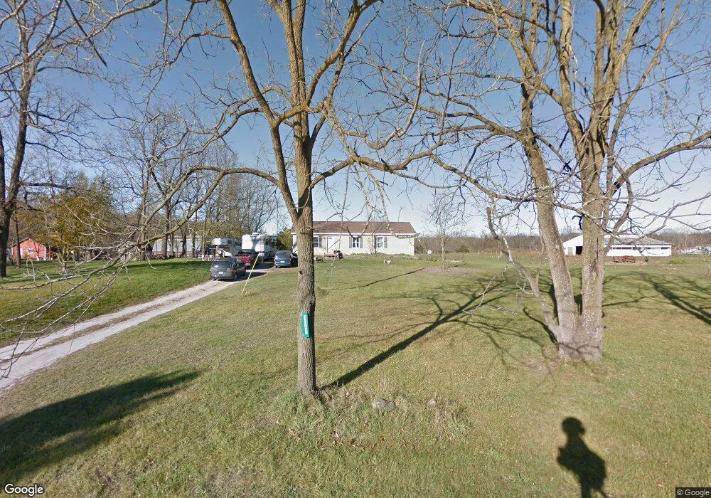
4692 Heath Rd Hastings, MI 49058
Estimated Value: $294,797 - $367,000
3
Beds
2
Baths
1,352
Sq Ft
$247/Sq Ft
Est. Value
About This Home
This home is located at 4692 Heath Rd, Hastings, MI 49058 and is currently estimated at $333,949, approximately $247 per square foot. 4692 Heath Rd is a home located in Barry County with nearby schools including Hastings High School.
Ownership History
Date
Name
Owned For
Owner Type
Purchase Details
Closed on
Aug 11, 2020
Sold by
Levingston William Robert
Bought by
Levingston William R and Levingston Steven J
Current Estimated Value
Purchase Details
Closed on
Apr 15, 2004
Sold by
Levingston William
Bought by
Levingston William Robert and Bursley Tammie
Home Financials for this Owner
Home Financials are based on the most recent Mortgage that was taken out on this home.
Original Mortgage
$135,000
Interest Rate
5.48%
Mortgage Type
New Conventional
Create a Home Valuation Report for This Property
The Home Valuation Report is an in-depth analysis detailing your home's value as well as a comparison with similar homes in the area
Home Values in the Area
Average Home Value in this Area
Purchase History
| Date | Buyer | Sale Price | Title Company |
|---|---|---|---|
| Levingston William R | -- | None Available | |
| Levingston William Robert | -- | Michigan Title Company |
Source: Public Records
Mortgage History
| Date | Status | Borrower | Loan Amount |
|---|---|---|---|
| Closed | Levingston William Robert | $135,000 |
Source: Public Records
Tax History Compared to Growth
Tax History
| Year | Tax Paid | Tax Assessment Tax Assessment Total Assessment is a certain percentage of the fair market value that is determined by local assessors to be the total taxable value of land and additions on the property. | Land | Improvement |
|---|---|---|---|---|
| 2025 | $906 | $123,400 | $0 | $0 |
| 2024 | $906 | $119,100 | $0 | $0 |
| 2023 | $2,915 | $80,200 | $0 | $0 |
| 2022 | $2,915 | $80,200 | $0 | $0 |
| 2021 | $2,915 | $65,400 | $0 | $0 |
| 2020 | $1,415 | $66,200 | $0 | $0 |
| 2019 | $1,415 | $69,200 | $0 | $0 |
| 2018 | $0 | $59,400 | $0 | $0 |
| 2017 | $0 | $57,600 | $0 | $0 |
| 2016 | -- | $54,100 | $0 | $0 |
| 2015 | -- | $51,900 | $0 | $0 |
| 2014 | -- | $51,900 | $0 | $0 |
Source: Public Records
Map
Nearby Homes
- 5559 W M 179 Hwy
- 3467 Rork Rd
- 727 S Whitmore Rd
- 1408 Fairview Dr
- Hampton Plan at Journey's Way
- Reno Plan at Journey's Way
- Charlotte Plan at Journey's Way
- Karolynn Plan at Journey's Way
- Oxford Plan at Journey's Way
- Bayberry Plan at Journey's Way
- Lot 4 Journey's Way
- 1361 Journey's Way
- Parcel 2 Journey's Way
- 1692 Erway Rd
- 0 V L Norway Ave Unit 25030541
- 5613 Michigan 179
- 2138 Rozell Dr
- 2682 Quakezik St
- 1812 Pine Bluff Dr
- V/L Biddle Rd