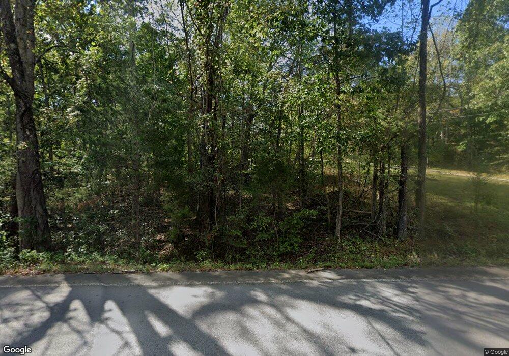
4692 Highway 49 Tennessee Ridge, TN 37178
Estimated Value: $266,000 - $368,472
--
Bed
2
Baths
1,422
Sq Ft
$234/Sq Ft
Est. Value
About This Home
This home is located at 4692 Highway 49, Tennessee Ridge, TN 37178 and is currently estimated at $332,157, approximately $233 per square foot. 4692 Highway 49 is a home located in Stewart County with nearby schools including Dover Elementary School, Stewart County Middle School, and Stewart County High School.
Ownership History
Date
Name
Owned For
Owner Type
Purchase Details
Closed on
Dec 10, 2008
Sold by
Sadler James R
Bought by
Latta Bruce Allen
Current Estimated Value
Home Financials for this Owner
Home Financials are based on the most recent Mortgage that was taken out on this home.
Original Mortgage
$38,000
Interest Rate
6.1%
Mortgage Type
New Conventional
Purchase Details
Closed on
May 30, 2003
Bought by
Sadler James R and Sadler Shannon K
Purchase Details
Closed on
Apr 7, 2000
Bought by
Cornett Chester Phillip
Purchase Details
Closed on
Aug 13, 1997
Bought by
Ritenour James R Etus Linda
Purchase Details
Closed on
Aug 29, 1966
Bought by
Fox William and Wanda Sue
Create a Home Valuation Report for This Property
The Home Valuation Report is an in-depth analysis detailing your home's value as well as a comparison with similar homes in the area
Home Values in the Area
Average Home Value in this Area
Purchase History
| Date | Buyer | Sale Price | Title Company |
|---|---|---|---|
| Latta Bruce Allen | $52,000 | -- | |
| Sadler James R | $26,000 | -- | |
| Cornett Chester Phillip | -- | -- | |
| Ritenour James R Etus Linda | -- | -- | |
| Fox William | -- | -- |
Source: Public Records
Mortgage History
| Date | Status | Borrower | Loan Amount |
|---|---|---|---|
| Closed | Fox William | $38,000 |
Source: Public Records
Tax History Compared to Growth
Tax History
| Year | Tax Paid | Tax Assessment Tax Assessment Total Assessment is a certain percentage of the fair market value that is determined by local assessors to be the total taxable value of land and additions on the property. | Land | Improvement |
|---|---|---|---|---|
| 2024 | $1,079 | $72,600 | $8,650 | $63,950 |
| 2023 | $1,039 | $44,025 | $6,475 | $37,550 |
| 2022 | $1,039 | $44,025 | $6,475 | $37,550 |
| 2021 | $1,003 | $44,025 | $6,475 | $37,550 |
| 2020 | $999 | $42,500 | $6,475 | $36,025 |
| 2019 | $999 | $39,200 | $5,375 | $33,825 |
| 2018 | $999 | $39,200 | $5,375 | $33,825 |
| 2017 | $999 | $39,200 | $5,375 | $33,825 |
| 2016 | $999 | $39,200 | $5,375 | $33,825 |
| 2015 | $968 | $39,200 | $5,375 | $33,825 |
| 2014 | $965 | $39,200 | $5,375 | $33,825 |
| 2013 | $965 | $39,086 | $0 | $0 |
Source: Public Records
Map
Nearby Homes
- 193 A W Schmidt Rd
- 793 Preston Baggett Rd
- 187 Oak Crest Dr
- 321 Lowery Cemetery Rd
- 169 Oak Crest Dr
- 104 Oak Crest Dr
- 4 Clyde Webb Rd
- 1 Clyde Webb Rd
- 6 Clyde Webb Rd
- 5 Clyde Webb Rd
- 239 Lowery Cemetery Rd
- 4178 Highway 49
- 1165 Green Shanty Rd
- 0 Old Lockhart Rd
- 0 Elk Creek Rd Unit RTC2687361
- 745 Moore Hollow Rd
- 1290 Highway 49
- 135 Locust Dr
- 316 N Main St
- 1440 Highway 49
- 4670 Highway 49
- 4670 Hwy 49
- 4704 Highway 49
- 4770 Highway 49
- 208 Old Highway 18
- 4762 Highway 49 Unit 4766
- 200 Old Highway 18 Unit 200
- 170 Old Highway 18
- 203 Hurricane Creek Dr
- 203 Hurricane Creek Dr
- 220 Old Highway 18 Unit 220
- 0 Old Highway 18 Unit 1915848
- 0 Old Highway 18 Unit 1915821
- 0 Old Highway 18 Unit 1915817
- 0 Old Highway 18 Unit 1862851
- 0 Old Highway 18 Unit 1710868
- 0 Old Highway 18 Unit 1710861
- 0 Old Highway 18 Unit 1710855
- 0 Old Highway 18 Unit RTC1586610
- 0 Old Highway 18 Unit RTC2681830
