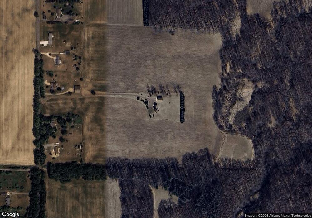
4697 Stone Rd Onondaga, MI 49264
Estimated Value: $366,000 - $386,000
Studio
3
Baths
1,992
Sq Ft
$189/Sq Ft
Est. Value
About This Home
This home is located at 4697 Stone Rd, Onondaga, MI 49264 and is currently estimated at $376,237, approximately $188 per square foot. 4697 Stone Rd is a home located in Ingham County with nearby schools including Woodworth Elementary School, Leslie Middle School, and Leslie High School.
Ownership History
Date
Name
Owned For
Owner Type
Purchase Details
Closed on
Jun 12, 2017
Sold by
Byrum James E and Byrum Dianne Y
Bought by
Byrum Delaney Barbara Ann and Delaney Bradley Steven
Current Estimated Value
Purchase Details
Closed on
May 8, 2011
Sold by
Byrum James E and Byrum Dianne Y
Bought by
Byrum Delaney Barbara Anne and Delaney Bradley Steven
Purchase Details
Closed on
Aug 7, 2009
Sold by
Sundrla Thomas C and Sundrla Juana M
Bought by
Denby Brandon S and Sundrla Revocable Living Trust
Create a Home Valuation Report for This Property
The Home Valuation Report is an in-depth analysis detailing your home's value as well as a comparison with similar homes in the area
Purchase History
| Date | Buyer | Sale Price | Title Company |
|---|---|---|---|
| Byrum Delaney Barbara Ann | $80,000 | None Available | |
| Byrum Delaney Barbara Anne | $80,000 | None Available | |
| Denby Brandon S | -- | None Available |
Source: Public Records
Mortgage History
| Date | Status | Borrower | Loan Amount |
|---|---|---|---|
| Closed | Byrum Delaney Barbara Anne | $0 |
Source: Public Records
Tax History
| Year | Tax Paid | Tax Assessment Tax Assessment Total Assessment is a certain percentage of the fair market value that is determined by local assessors to be the total taxable value of land and additions on the property. | Land | Improvement |
|---|---|---|---|---|
| 2025 | $4,018 | $185,300 | $18,900 | $166,400 |
| 2024 | $3,732 | $170,900 | $18,900 | $152,000 |
| 2023 | $3,468 | $148,700 | $18,100 | $130,600 |
| 2022 | $3,468 | $136,800 | $20,100 | $116,700 |
| 2021 | $3,459 | $135,700 | $0 | $0 |
| 2020 | $3,413 | $123,200 | $0 | $0 |
| 2019 | $3,575 | $116,900 | $18,900 | $98,000 |
| 2018 | $3,492 | $110,000 | $18,900 | $91,100 |
| 2017 | $3,354 | $110,000 | $18,900 | $91,100 |
| 2016 | -- | $114,100 | $23,100 | $91,000 |
| 2015 | -- | $86,700 | $25,083 | $61,617 |
| 2014 | -- | $89,300 | $22,648 | $66,652 |
Source: Public Records
Map
Nearby Homes
- 5623 Rossman Rd
- 12579 Onondaga Rd
- 12247 Onondaga Rd
- 0 Edgar Rd Unit 290334
- 6280 Kinneville Rd
- 12011 Hopcraft Rd
- 0 Kimberly Ct
- 6042 Amanda Dr
- VL Tucker Rd Lot#wp001
- 12019 Berryville Rd
- 3940 Tuttle Rd
- Vl Gale Rd
- 8840 Houston Rd
- 5100 Churchill Rd
- 9673 Spartan Ln
- 5710 Houston Rd
- 2968 Tuttle Rd
- 209 S Sherman St
- 114 S High St
- 9912 Kinneville Rd
Your Personal Tour Guide
Ask me questions while you tour the home.