46W754 Beith Rd Maple Park, IL 60151
Estimated Value: $583,000 - $857,000
Studio
--
Bath
--
Sq Ft
945,252
Sq Ft Lot
About This Home
This home is located at 46W754 Beith Rd, Maple Park, IL 60151 and is currently estimated at $736,973. 46W754 Beith Rd is a home with nearby schools including Kaneland John Stewart Elementary School, Harter Middle School, and Kaneland High School.
Ownership History
Date
Name
Owned For
Owner Type
Purchase Details
Closed on
Dec 18, 2020
Sold by
Biddle Robert C
Bought by
Robert C Biddle Trust and Biddle
Current Estimated Value
Purchase Details
Closed on
Jul 22, 2020
Sold by
Biddle Richard W
Bought by
Biddle Trust and Biddle
Purchase Details
Closed on
Jul 10, 2018
Sold by
Biddle John M and Biddle Richard W
Bought by
Biddle John M
Purchase Details
Closed on
Apr 4, 1996
Sold by
Beier Martha Elizabeth
Bought by
Snow William E
Home Financials for this Owner
Home Financials are based on the most recent Mortgage that was taken out on this home.
Original Mortgage
$620,000
Interest Rate
7.86%
Create a Home Valuation Report for This Property
The Home Valuation Report is an in-depth analysis detailing your home's value as well as a comparison with similar homes in the area
Home Values in the Area
Average Home Value in this Area
Purchase History
| Date | Buyer | Sale Price | Title Company |
|---|---|---|---|
| Robert C Biddle Trust | -- | None Listed On Document | |
| Biddle Trust | -- | None Listed On Document | |
| Robert C Biddle Trust | -- | None Listed On Document | |
| Biddle Trust | -- | None Listed On Document | |
| Biddle John M | -- | None Available | |
| Biddle John M | -- | Attorney | |
| Snow William E | $964,500 | Chicago Title Insurance Co |
Source: Public Records
Mortgage History
| Date | Status | Borrower | Loan Amount |
|---|---|---|---|
| Previous Owner | Snow William E | $620,000 |
Source: Public Records
Tax History
| Year | Tax Paid | Tax Assessment Tax Assessment Total Assessment is a certain percentage of the fair market value that is determined by local assessors to be the total taxable value of land and additions on the property. | Land | Improvement |
|---|---|---|---|---|
| 2024 | $14,638 | $184,523 | $51,105 | $133,418 |
| 2023 | $12,737 | $151,345 | $47,317 | $104,028 |
| 2022 | $12,455 | $142,226 | $43,735 | $98,491 |
| 2021 | $12,081 | $136,186 | $41,254 | $94,932 |
| 2020 | $11,660 | $132,053 | $39,467 | $92,586 |
| 2019 | $11,487 | $127,628 | $37,613 | $90,015 |
| 2018 | $10,965 | $119,075 | $35,255 | $83,820 |
| 2017 | $10,723 | $113,739 | $33,090 | $80,649 |
| 2016 | $10,987 | $114,194 | $30,943 | $83,251 |
| 2015 | -- | $107,132 | $28,999 | $78,133 |
Source: Public Records
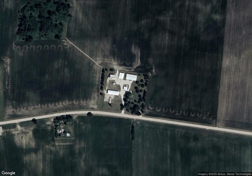
Map
Nearby Homes
- 000 Winters Rd
- 00 Welter Rd
- 0 Winters Rd
- 2N879 Howard Rd
- 43W880 Pathfinder Dr Unit 3
- 43W951 Fox Hill Ct
- 276 Ream Dr
- 844 N 1st St
- 410 W Reader St
- 526 N Main St
- 214 Read St
- 48W201 Keslinger Rd
- 0N953 Probst Ct
- 620 Ridge Dr
- 49W972 Peterson Rd
- 516 Banbury Ave
- 644 Houtz Cir
- 875 Station Blvd
- Lot 77 Houtz Cir
- 000 Illinois 47
- 46W905 Beith Rd
- 47W130 Beith Rd
- 47W212 Beith Rd
- 47W234 Beith Rd
- 46W235 Beith Rd
- 43W763 Beith Rd
- 43W469 Beith Rd
- 43W521 Beith Rd
- 3N570 Francis Rd
- 3N901 Francis Rd
- 3N567 Meredith Rd
- 4N012 Meredith Rd
- 3N968 Meredith Rd
- 3N452 Francis Rd
- 44W180 Beith Rd
- 4N460 Meredith Rd
- 0 Meredith Rd
- W Side Meredith Rd
- LOT 1 Meredith Rd
- LOT 2 Meredith Rd
Your Personal Tour Guide
Ask me questions while you tour the home.