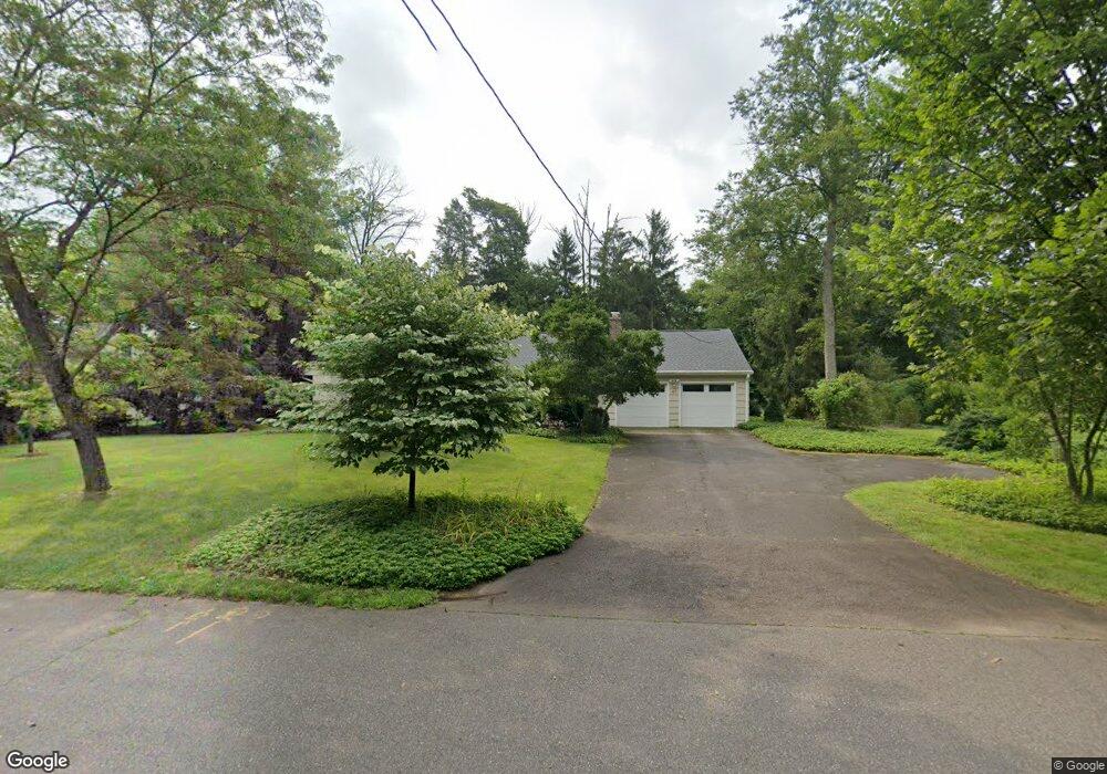
47 Balsam Ln Princeton, NJ 08540
Estimated Value: $1,152,402 - $1,728,000
--
Bed
--
Bath
2,006
Sq Ft
$705/Sq Ft
Est. Value
About This Home
This home is located at 47 Balsam Ln, Princeton, NJ 08540 and is currently estimated at $1,413,851, approximately $704 per square foot. 47 Balsam Ln is a home located in Mercer County with nearby schools including Riverside Elementary School, Princeton Middle School, and Princeton High School.
Ownership History
Date
Name
Owned For
Owner Type
Purchase Details
Closed on
Mar 13, 2002
Sold by
Knipple Partners
Bought by
Wilcove David
Current Estimated Value
Home Financials for this Owner
Home Financials are based on the most recent Mortgage that was taken out on this home.
Original Mortgage
$269,740
Outstanding Balance
$110,932
Interest Rate
6.84%
Estimated Equity
$1,302,919
Purchase Details
Closed on
Mar 25, 1979
Sold by
Mann Lynn
Bought by
Apodaca Mary
Home Financials for this Owner
Home Financials are based on the most recent Mortgage that was taken out on this home.
Original Mortgage
$239,000
Interest Rate
7.59%
Create a Home Valuation Report for This Property
The Home Valuation Report is an in-depth analysis detailing your home's value as well as a comparison with similar homes in the area
Home Values in the Area
Average Home Value in this Area
Purchase History
| Date | Buyer | Sale Price | Title Company |
|---|---|---|---|
| Wilcove David | $476,000 | -- | |
| Apodaca Mary | $265,000 | -- |
Source: Public Records
Mortgage History
| Date | Status | Borrower | Loan Amount |
|---|---|---|---|
| Open | Wilcove David | $269,740 | |
| Previous Owner | Apodaca Mary | $239,000 |
Source: Public Records
Tax History Compared to Growth
Tax History
| Year | Tax Paid | Tax Assessment Tax Assessment Total Assessment is a certain percentage of the fair market value that is determined by local assessors to be the total taxable value of land and additions on the property. | Land | Improvement |
|---|---|---|---|---|
| 2025 | $19,235 | $727,200 | $542,000 | $185,200 |
| 2024 | $18,159 | $722,300 | $542,000 | $180,300 |
| 2023 | $18,159 | $722,300 | $542,000 | $180,300 |
| 2022 | $17,566 | $722,300 | $542,000 | $180,300 |
| 2021 | $17,617 | $722,300 | $542,000 | $180,300 |
| 2020 | $17,480 | $722,300 | $542,000 | $180,300 |
| 2019 | $17,133 | $722,300 | $542,000 | $180,300 |
| 2018 | $16,844 | $722,300 | $542,000 | $180,300 |
| 2017 | $16,613 | $722,300 | $542,000 | $180,300 |
| 2016 | $16,353 | $722,300 | $542,000 | $180,300 |
| 2015 | $14,378 | $650,000 | $524,700 | $125,300 |
| 2014 | $14,203 | $650,000 | $524,700 | $125,300 |
Source: Public Records
Map
Nearby Homes