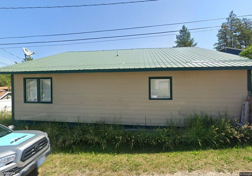
47 Battle Hollow Ave Somers, MT 59932
Estimated Value: $466,145 - $583,000
2
Beds
2
Baths
1,760
Sq Ft
$293/Sq Ft
Est. Value
About This Home
This home is located at 47 Battle Hollow Ave, Somers, MT 59932 and is currently estimated at $515,048, approximately $292 per square foot. 47 Battle Hollow Ave is a home located in Flathead County with nearby schools including Lakeside Elementary School, Somers Middle School, and Flathead High School.
Ownership History
Date
Name
Owned For
Owner Type
Purchase Details
Closed on
Dec 8, 2006
Sold by
Easter Mark O
Bought by
M & S Development Llc
Current Estimated Value
Home Financials for this Owner
Home Financials are based on the most recent Mortgage that was taken out on this home.
Original Mortgage
$116,385
Outstanding Balance
$69,854
Interest Rate
6.38%
Mortgage Type
Future Advance Clause Open End Mortgage
Estimated Equity
$445,194
Purchase Details
Closed on
Dec 5, 2006
Sold by
Managhan William L and Kortum Managhan Santana N
Bought by
Easter Mark O
Home Financials for this Owner
Home Financials are based on the most recent Mortgage that was taken out on this home.
Original Mortgage
$116,385
Outstanding Balance
$69,854
Interest Rate
6.38%
Mortgage Type
Future Advance Clause Open End Mortgage
Estimated Equity
$445,194
Create a Home Valuation Report for This Property
The Home Valuation Report is an in-depth analysis detailing your home's value as well as a comparison with similar homes in the area
Home Values in the Area
Average Home Value in this Area
Purchase History
| Date | Buyer | Sale Price | Title Company |
|---|---|---|---|
| M & S Development Llc | -- | Citizens Title And Escrow Co | |
| Easter Mark O | -- | Citizens Title And Escrow Co |
Source: Public Records
Mortgage History
| Date | Status | Borrower | Loan Amount |
|---|---|---|---|
| Open | Easter Mark O | $116,385 |
Source: Public Records
Tax History Compared to Growth
Tax History
| Year | Tax Paid | Tax Assessment Tax Assessment Total Assessment is a certain percentage of the fair market value that is determined by local assessors to be the total taxable value of land and additions on the property. | Land | Improvement |
|---|---|---|---|---|
| 2025 | $1,540 | $474,300 | $0 | $0 |
| 2024 | $1,967 | $360,300 | $0 | $0 |
| 2023 | $2,011 | $360,300 | $0 | $0 |
| 2022 | $1,732 | $224,150 | $0 | $0 |
| 2021 | $1,763 | $224,150 | $0 | $0 |
| 2020 | $1,658 | $199,300 | $0 | $0 |
| 2019 | $1,596 | $199,300 | $0 | $0 |
| 2018 | $1,549 | $184,508 | $0 | $0 |
| 2017 | $1,433 | $184,508 | $0 | $0 |
| 2016 | $1,413 | $187,700 | $0 | $0 |
| 2015 | $1,462 | $187,700 | $0 | $0 |
| 2014 | $1,247 | $99,693 | $0 | $0 |
Source: Public Records
Map
Nearby Homes
- 33 Summit Ave
- 195 Breezy Point Ave
- 370 S Eighty Dr
- 369 S Eighty Dr
- 538 Best View Dr
- 325 S Eighty Dr
- Nhn (Tract 10) Boon Rd
- Nhn (Tract 9) Boon Rd
- Nhn (Tract 7) Boon Rd
- 1399 Mackinaw Loop
- 160 Old Us Highway 93 S
- 936/922 Montana 82
- 74 Craggy Cliff Rd
- 42 Craggy Cliff Rd
- 396 N Juniper Bay Rd Unit 15
- 270 Westridge Dr
- Nhn Buffalo Ln
- 898 Elias Ln
- 1000 Mt Highway 82
- 195 Pineview Dr
- 27 Battle Hollow Ave
- 40 Battle Hollow Ave
- 48 Battle Hollow Ave
- 23 Kraft Ave
- 56 Battle Hollow Ave
- 64 Battle Hollow Ave
- 15 Battle Hollow Ave
- 298 Burns St Unit 1 & 2
- 298 Burns St
- 72 Battle Hollow Ave
- 316 Somers Rd
- 308 Somers Rd
- 114 Pikes Peak
- 112 Pikes Peak
- 286 Burns St
- 293 Burns St
- 59 Swede Hill Ave
- 51 Swede Hill Ave
- 276 Somers Rd
- 270 Burns St