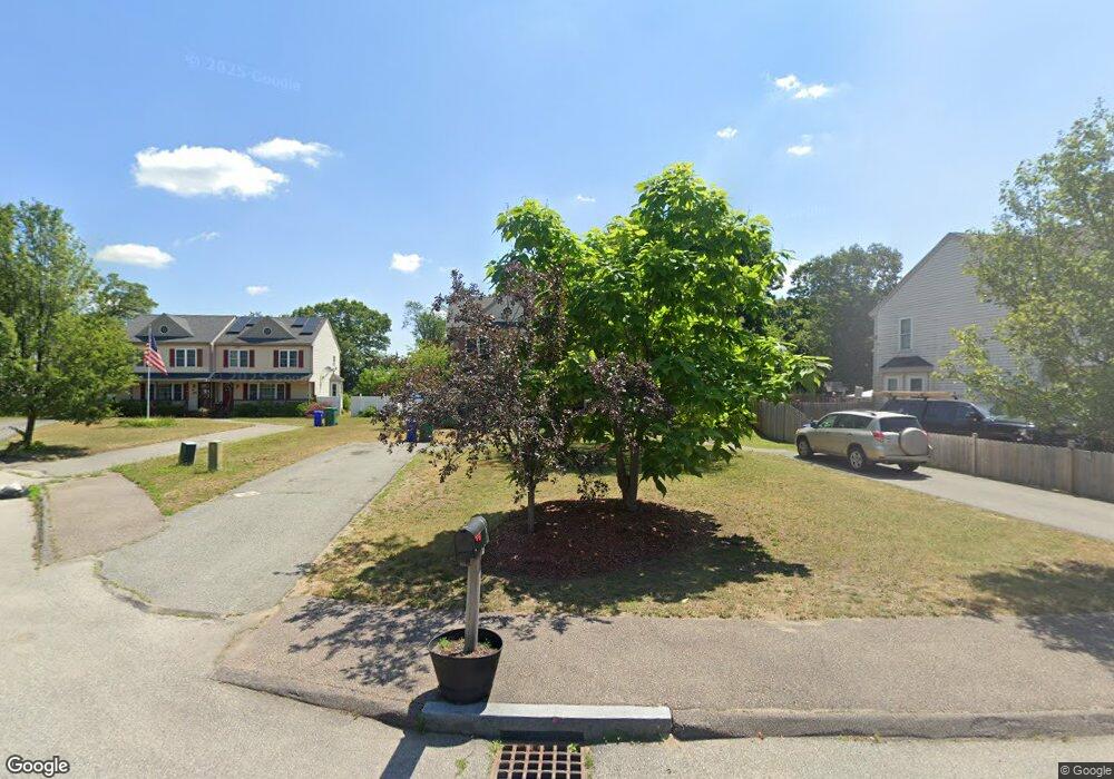
47 Burgess St Unit 1 Attleboro, MA 02703
Estimated Value: $438,528 - $511,000
3
Beds
2
Baths
1,650
Sq Ft
$288/Sq Ft
Est. Value
About This Home
This home is located at 47 Burgess St Unit 1, Attleboro, MA 02703 and is currently estimated at $474,882, approximately $287 per square foot. 47 Burgess St Unit 1 is a home located in Bristol County with nearby schools including Hill-Roberts Elementary School, Robert J. Coelho Middle School, and Attleboro High School.
Ownership History
Date
Name
Owned For
Owner Type
Purchase Details
Closed on
Dec 23, 2022
Sold by
Kamotho Joseph and Ndungu Virginia W
Bought by
Ndungu Virginia W
Current Estimated Value
Purchase Details
Closed on
Sep 6, 2018
Sold by
Wells Fargo Bank Na Tr
Bought by
Kamotho Joseph T and Ndungu Virginia W
Purchase Details
Closed on
Mar 18, 2016
Sold by
Pasqualino Dennis J
Bought by
Wells Fargo Bank Na Tr
Purchase Details
Closed on
Dec 11, 2006
Sold by
Cfdc T and Lyons Kathleen M
Bought by
Pasqualino Dennis J
Create a Home Valuation Report for This Property
The Home Valuation Report is an in-depth analysis detailing your home's value as well as a comparison with similar homes in the area
Home Values in the Area
Average Home Value in this Area
Purchase History
| Date | Buyer | Sale Price | Title Company |
|---|---|---|---|
| Ndungu Virginia W | -- | None Available | |
| Kamotho Joseph T | $120,050 | -- | |
| Wells Fargo Bank Na Tr | $437,519 | -- | |
| Pasqualino Dennis J | $305,000 | -- |
Source: Public Records
Tax History Compared to Growth
Tax History
| Year | Tax Paid | Tax Assessment Tax Assessment Total Assessment is a certain percentage of the fair market value that is determined by local assessors to be the total taxable value of land and additions on the property. | Land | Improvement |
|---|---|---|---|---|
| 2025 | $5,001 | $398,500 | $0 | $398,500 |
| 2024 | $4,606 | $361,800 | $0 | $361,800 |
| 2023 | $4,412 | $322,300 | $0 | $322,300 |
| 2022 | $4,072 | $281,800 | $0 | $281,800 |
| 2021 | $3,873 | $261,700 | $0 | $261,700 |
| 2020 | $3,775 | $259,300 | $0 | $259,300 |
| 2019 | $3,532 | $249,400 | $0 | $249,400 |
| 2018 | $3,637 | $228,100 | $0 | $228,100 |
| 2017 | $3,355 | $230,600 | $0 | $230,600 |
| 2016 | $3,287 | $221,800 | $0 | $221,800 |
| 2015 | $3,298 | $224,200 | $0 | $224,200 |
| 2014 | $3,365 | $226,600 | $0 | $226,600 |
Source: Public Records
Map
Nearby Homes
- 0 Cedar St
- 57 Cedarbrook Rd
- 65 Cedarbrook Rd
- 548 Kenyon Ave Unit 25
- 548 Kenyon Ave Unit 27
- 548 Kenyon Ave Unit 45
- 70 Archer St
- 97 Wendell St
- 103 Clews St
- 15 Don Ct
- 26 Blackburn St
- 85 Rice St
- 13 Rita Dr
- 48 Liberty Dr
- 110 Crest Dr
- 53 Liberty Dr
- 44 Stanley St
- 56 Liberty Dr
- 460 Collins St Unit 38
- 68 Slade St
- 47 Burgess St Unit 2
- 47 Burgess St
- 39 Burgess St Unit B
- 39 Burgess St Unit 2
- 39 Burgess St Unit 1
- 39 Burgess St Unit A
- 39 Burgess St Unit B
- 39 Burgess St Unit U-B
- 39 Biurgess St Unit b
- 55 Burgess St Unit 1
- 55 Burgess St Unit A
- 55 Burgess St Unit B
- 55 Burgess St
- 55 Burgess St Unit 2
- 55 Burgess St Unit 1
- 31 Burgess St
- 31 Burgess St Unit 2
- 31 Burgess St Unit 1
- 31 Burgess St Unit B
- 31 Burgess St Unit A