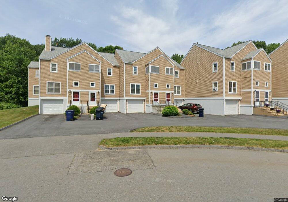
47 Camelot Dr Worcester, MA 01602
West Tatnuck NeighborhoodEstimated Value: $353,000 - $385,000
2
Beds
2
Baths
1,368
Sq Ft
$271/Sq Ft
Est. Value
About This Home
This home is located at 47 Camelot Dr, Worcester, MA 01602 and is currently estimated at $370,476, approximately $270 per square foot. 47 Camelot Dr is a home located in Worcester County with nearby schools including Tatnuck Magnet School, Chandler Magnet, and Jacob Hiatt Magnet School.
Ownership History
Date
Name
Owned For
Owner Type
Purchase Details
Closed on
Sep 11, 2023
Sold by
Turning Point Invs Llc
Bought by
Lafontant Christy
Current Estimated Value
Home Financials for this Owner
Home Financials are based on the most recent Mortgage that was taken out on this home.
Original Mortgage
$315,000
Outstanding Balance
$306,228
Interest Rate
6.81%
Mortgage Type
Purchase Money Mortgage
Estimated Equity
$64,248
Purchase Details
Closed on
Jul 26, 2023
Sold by
Ball Gail and Hunt Cynthia
Bought by
Turning Point Invs Llc
Home Financials for this Owner
Home Financials are based on the most recent Mortgage that was taken out on this home.
Original Mortgage
$315,000
Outstanding Balance
$306,228
Interest Rate
6.81%
Mortgage Type
Purchase Money Mortgage
Estimated Equity
$64,248
Purchase Details
Closed on
Apr 28, 2021
Sold by
Albrecht Janet E
Bought by
Albrecht Janet E and Ball Gail
Purchase Details
Closed on
Nov 20, 2007
Sold by
Muchnik Alla A and Muchnik Yefim
Bought by
Albrecht Clifford and Albrecht Janet
Purchase Details
Closed on
Nov 1, 2004
Sold by
Crump Gerald R
Bought by
Muchnik Alla A and Muchnik Yefim
Home Financials for this Owner
Home Financials are based on the most recent Mortgage that was taken out on this home.
Original Mortgage
$120,000
Interest Rate
5.74%
Mortgage Type
Purchase Money Mortgage
Purchase Details
Closed on
May 31, 2001
Sold by
Goldsmith Craig S and Goldsmith Debra S
Bought by
Crump Gerald R
Purchase Details
Closed on
Dec 22, 1989
Sold by
Marks Stanley
Bought by
Goldsmith Craig
Purchase Details
Closed on
Jul 2, 1987
Sold by
Salisbury Dev Corp
Bought by
Marks S R
Create a Home Valuation Report for This Property
The Home Valuation Report is an in-depth analysis detailing your home's value as well as a comparison with similar homes in the area
Home Values in the Area
Average Home Value in this Area
Purchase History
| Date | Buyer | Sale Price | Title Company |
|---|---|---|---|
| Lafontant Christy | $350,000 | None Available | |
| Lafontant Christy | $350,000 | None Available | |
| Turning Point Invs Llc | $220,000 | None Available | |
| Turning Point Invs Llc | $220,000 | None Available | |
| Albrecht Janet E | -- | None Available | |
| Albrecht Janet E | -- | None Available | |
| Albrecht Clifford | $190,000 | -- | |
| Albrecht Clifford | $190,000 | -- | |
| Albrecht Clifford | $190,000 | -- | |
| Muchnik Alla A | $209,500 | -- | |
| Muchnik Alla A | $209,500 | -- | |
| Muchnik Alla A | $209,500 | -- | |
| Crump Gerald R | $155,000 | -- | |
| Crump Gerald R | $155,000 | -- | |
| Goldsmith Craig | $128,000 | -- | |
| Goldsmith Craig | $128,000 | -- | |
| Marks S R | $134,800 | -- |
Source: Public Records
Mortgage History
| Date | Status | Borrower | Loan Amount |
|---|---|---|---|
| Open | Lafontant Christy | $315,000 | |
| Closed | Lafontant Christy | $315,000 | |
| Previous Owner | Muchnik Alla A | $120,000 |
Source: Public Records
Tax History
| Year | Tax Paid | Tax Assessment Tax Assessment Total Assessment is a certain percentage of the fair market value that is determined by local assessors to be the total taxable value of land and additions on the property. | Land | Improvement |
|---|---|---|---|---|
| 2025 | $3,877 | $293,900 | $0 | $293,900 |
| 2024 | $3,996 | $290,600 | $0 | $290,600 |
| 2023 | $3,796 | $264,700 | $0 | $264,700 |
| 2022 | $3,372 | $221,700 | $0 | $221,700 |
| 2021 | $3,420 | $210,100 | $0 | $210,100 |
| 2020 | $3,451 | $203,000 | $0 | $203,000 |
| 2019 | $3,533 | $196,300 | $0 | $196,300 |
| 2018 | $3,409 | $180,300 | $0 | $180,300 |
| 2017 | $3,323 | $172,900 | $0 | $172,900 |
| 2016 | $2,984 | $144,800 | $0 | $144,800 |
| 2015 | $2,906 | $144,800 | $0 | $144,800 |
| 2014 | $2,740 | $140,200 | $0 | $140,200 |
Source: Public Records
Map
Nearby Homes
- 18 Merlin Ct Unit 18
- 85 Camelot Dr Unit 118
- 118 Beaconsfield Rd
- 8 Modred Ct
- 122 Copperfield Rd
- 163 Moreland St
- 23 Orrison St
- 23 Tiverton Pkwy
- 12 Cardinal Rd
- 22 Audubon Rd
- 32 Aylesbury Rd
- 148A Tory Fort Ln
- 31 Lenox St
- 19 Kenilworth Rd
- 9 Newburn Rd
- 3 Old English Rd
- 9 Dennison Rd
- 493 Salisbury St
- 47R Yarnie Unit 3A
- 47R Yarnie Unit 1B
- 57 Camelot Dr
- 55 Camelot Dr
- 53 Camelot Dr
- 51 Camelot Dr
- 49 Camelot Dr
- 43 Camelot Dr
- 47 Camelot Dr Unit 65,47
- 47 Camelot Dr Unit 47
- 47 Camelot Dr Unit 65
- 13 Merlin Ct Unit 25
- 11 Merlin Ct
- 13 Merlin Ct
- 60 Wrentham Rd
- 35 Camelot Dr
- 37 Camelot Dr
- 39 Camelot Dr
- 41 Camelot Dr
- 59 Camelot Dr
- 61 Camelot Dr
- 63 Camelot Dr
Your Personal Tour Guide
Ask me questions while you tour the home.