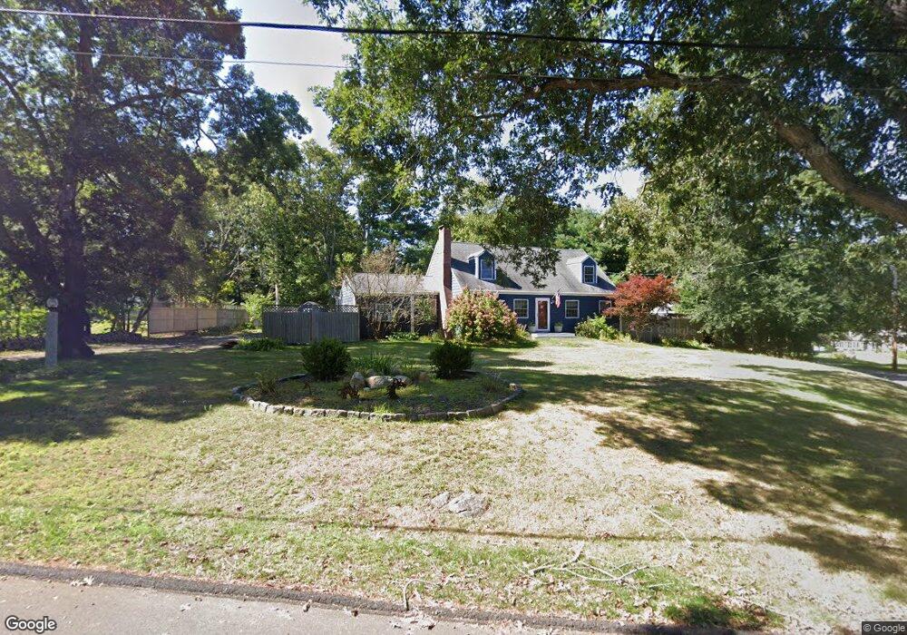
47 Chittenden Rd Scituate, MA 02066
Estimated Value: $742,601 - $1,144,000
5
Beds
2
Baths
2,120
Sq Ft
$451/Sq Ft
Est. Value
About This Home
This home is located at 47 Chittenden Rd, Scituate, MA 02066 and is currently estimated at $955,400, approximately $450 per square foot. 47 Chittenden Rd is a home located in Plymouth County with nearby schools including Cushing Elementary School, Lester J. Gates Middle School, and Scituate High School.
Ownership History
Date
Name
Owned For
Owner Type
Purchase Details
Closed on
Jul 31, 2006
Sold by
Dunn Raymond P and Dunn Linda C
Bought by
Burbine Ross D and Burbine Erika D
Current Estimated Value
Purchase Details
Closed on
Apr 24, 2001
Sold by
Greim Robert H Est
Bought by
Dunn Raymond P and Dunn Linda C
Create a Home Valuation Report for This Property
The Home Valuation Report is an in-depth analysis detailing your home's value as well as a comparison with similar homes in the area
Home Values in the Area
Average Home Value in this Area
Purchase History
| Date | Buyer | Sale Price | Title Company |
|---|---|---|---|
| Burbine Ross D | $410,000 | -- | |
| Dunn Raymond P | $240,000 | -- |
Source: Public Records
Mortgage History
| Date | Status | Borrower | Loan Amount |
|---|---|---|---|
| Open | Dunn Raymond P | $96,000 | |
| Open | Dunn Raymond P | $399,000 |
Source: Public Records
Tax History
| Year | Tax Paid | Tax Assessment Tax Assessment Total Assessment is a certain percentage of the fair market value that is determined by local assessors to be the total taxable value of land and additions on the property. | Land | Improvement |
|---|---|---|---|---|
| 2025 | $5,673 | $567,900 | $376,200 | $191,700 |
| 2024 | $5,605 | $541,000 | $342,000 | $199,000 |
| 2023 | $5,733 | $515,100 | $328,200 | $186,900 |
| 2022 | $5,834 | $462,300 | $297,400 | $164,900 |
| 2021 | $5,732 | $430,000 | $283,200 | $146,800 |
| 2020 | $4,371 | $418,800 | $272,300 | $146,500 |
| 2019 | $5,654 | $411,500 | $267,000 | $144,500 |
| 2018 | $5,902 | $423,100 | $266,800 | $156,300 |
| 2017 | $5,805 | $412,000 | $255,700 | $156,300 |
| 2016 | $5,512 | $389,800 | $233,500 | $156,300 |
| 2015 | $4,961 | $378,700 | $222,400 | $156,300 |
Source: Public Records
Map
Nearby Homes
- 327 Country Way
- 74 Branch St Unit 15
- 537 First Parish Rd
- 49 Whittier Dr
- 67 Pratt Rd
- 54 Woodland Rd
- 20 Lawson Rd
- 20 Grace Way Unit 20
- 6 Grace Way Unit 6
- 27 Grace Way
- 59 Captain Peirce Rd
- 115 Elm St
- 111 Elm St
- 49 Jackson Rd
- 20 Lee Ave
- 1 Washington Ln
- 627 First Parish Rd
- 629 Country Way
- 11 Forest Ln
- 9 Forest Ln Unit 9
- 43 Chittenden Rd
- 54 Cedarwood Rd
- 59 Utility Rd
- 53 Chittenden Rd
- 46 Chittenden Rd
- 52 Chittenden Rd
- 60 Utility Rd
- 42 Chittenden Rd
- 36 Fairview Ave
- 53 Cedarwood Rd
- 42 Fairview Ave
- 57 Cedarwood Rd
- 56 Chittenden Rd
- 91 Chittenden Rd Unit 91
- 41 Utility Rd
- 61 Cedarwood Rd
- 62 Utility Rd
- 28 Fairview Ave
- 60 Chittenden Rd
- 27 Chittenden Ln
Your Personal Tour Guide
Ask me questions while you tour the home.