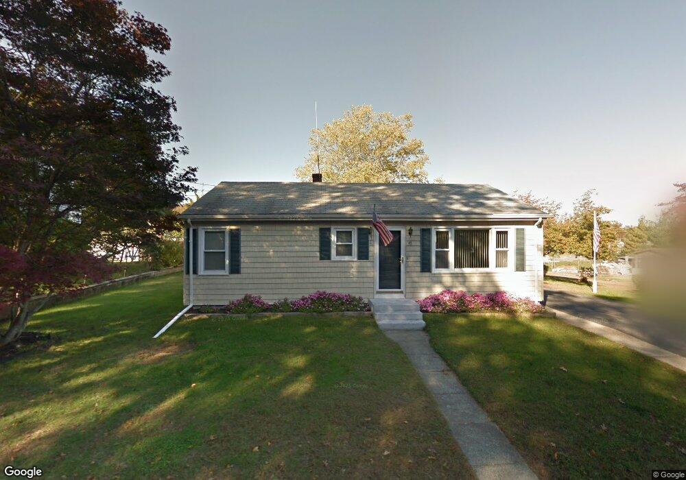
47 E Briggs Rd Westport, MA 02790
South Westport NeighborhoodEstimated Value: $397,535 - $462,000
2
Beds
--
Bath
1,040
Sq Ft
$415/Sq Ft
Est. Value
About This Home
This home is located at 47 E Briggs Rd, Westport, MA 02790 and is currently estimated at $431,134, approximately $414 per square foot. 47 E Briggs Rd is a home located in Bristol County with nearby schools including Alice A. Macomber Primary School, Westport Elementary School, and Westport Middle-High School.
Ownership History
Date
Name
Owned For
Owner Type
Purchase Details
Closed on
Jun 3, 2019
Sold by
Pereira Thomas A
Bought by
Act Nt
Current Estimated Value
Purchase Details
Closed on
May 28, 2004
Sold by
Rodrigues Antone and Rodrigues Antonio
Bought by
Pereira Thomas A
Purchase Details
Closed on
May 25, 2004
Sold by
Rodrigues Albert and Briere Alicia
Bought by
Pereira Thomas A
Purchase Details
Closed on
Mar 27, 2001
Sold by
Arthur Pereira Irev Tr
Bought by
Pereira Thomas A
Create a Home Valuation Report for This Property
The Home Valuation Report is an in-depth analysis detailing your home's value as well as a comparison with similar homes in the area
Home Values in the Area
Average Home Value in this Area
Purchase History
| Date | Buyer | Sale Price | Title Company |
|---|---|---|---|
| Act Nt | -- | -- | |
| Pereira Thomas A | $625 | -- | |
| Pereira Thomas A | -- | -- | |
| Pereira Thomas A | $50,000 | -- |
Source: Public Records
Mortgage History
| Date | Status | Borrower | Loan Amount |
|---|---|---|---|
| Previous Owner | Pereira Thomas A | $150,000 | |
| Previous Owner | Pereira Thomas A | $11,000 |
Source: Public Records
Tax History
| Year | Tax Paid | Tax Assessment Tax Assessment Total Assessment is a certain percentage of the fair market value that is determined by local assessors to be the total taxable value of land and additions on the property. | Land | Improvement |
|---|---|---|---|---|
| 2025 | $2,305 | $309,400 | $157,400 | $152,000 |
| 2024 | $2,294 | $296,800 | $145,800 | $151,000 |
| 2023 | $2,228 | $273,000 | $132,800 | $140,200 |
| 2022 | $2,037 | $240,200 | $120,700 | $119,500 |
| 2021 | $1,977 | $229,300 | $109,800 | $119,500 |
| 2020 | $1,896 | $224,900 | $105,400 | $119,500 |
| 2019 | $1,858 | $224,700 | $105,400 | $119,300 |
| 2018 | $1,705 | $208,700 | $105,200 | $103,500 |
| 2017 | $1,623 | $203,600 | $101,900 | $101,700 |
| 2016 | $1,511 | $191,000 | $98,500 | $92,500 |
| 2015 | $1,457 | $183,700 | $100,700 | $83,000 |
Source: Public Records
Map
Nearby Homes
- 2 Olin Howland Way
- 7 Taber Ln
- 238-242 E Beach Rd
- 22 3rd St
- 1 Puddingstone Cir
- Lot 2 Horseneck Rd
- 649 Horseneck Rd
- 255 John Dyer Rd
- 245 John Dyer Rd
- 25 Quail Trail
- 408 Hixbridge Rd
- 17 Quail Trail
- Lot 2E Horseneck Rd
- 920 Drift Rd
- 332 Division Rd
- 30 Indian Rd
- 89 S Shore Rd
- 923 Drift Rd
- 1 Butts Rock Rd
- 128 Maple Ave
Your Personal Tour Guide
Ask me questions while you tour the home.