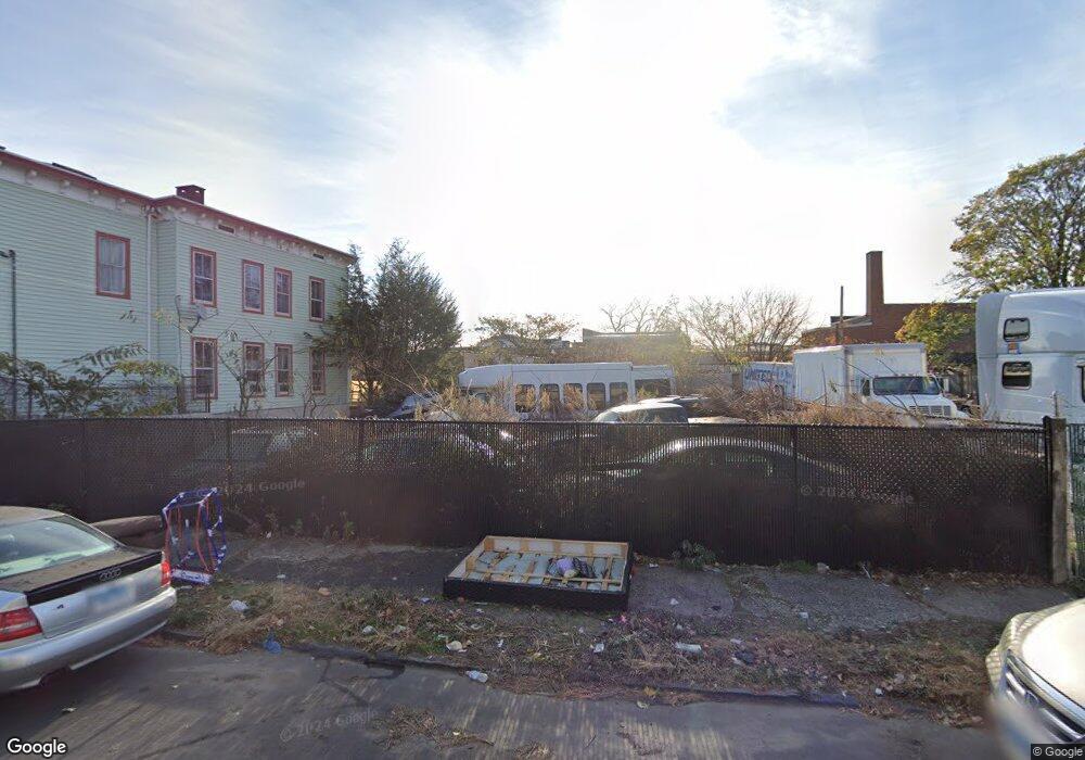
47 Goodsell St Bridgeport, CT 06604
The Hollow NeighborhoodEstimated Value: $169,000 - $205,000
--
Bed
1
Bath
--
Sq Ft
5,663
Sq Ft Lot
About This Home
This home is located at 47 Goodsell St, Bridgeport, CT 06604 and is currently estimated at $183,900. 47 Goodsell St is a home located in Fairfield County with nearby schools including Bassick High School, Catholic Academy of Bridgeport-St. Raphael Academy, and Catholic Academy of Bridgeport-St. Augustine Academy.
Ownership History
Date
Name
Owned For
Owner Type
Purchase Details
Closed on
Jan 2, 2024
Sold by
V Mont Llc
Bought by
Mendonca Afranio L
Current Estimated Value
Purchase Details
Closed on
Sep 28, 2016
Sold by
Bridgeport City Of
Bought by
Gonzalez & Gonzalez Llc
Purchase Details
Closed on
Sep 21, 2016
Sold by
Castaldo Anthony and Mrc Receiveables Corp
Bought by
Bridgeport City Of
Purchase Details
Closed on
Oct 18, 2010
Sold by
Castaklo Fred Est
Bought by
Bridgeport City Of
Create a Home Valuation Report for This Property
The Home Valuation Report is an in-depth analysis detailing your home's value as well as a comparison with similar homes in the area
Home Values in the Area
Average Home Value in this Area
Purchase History
| Date | Buyer | Sale Price | Title Company |
|---|---|---|---|
| Mendonca Afranio L | $145,000 | None Available | |
| Mendonca Afranio L | $145,000 | None Available | |
| Mendonca Afranio L | $145,000 | None Available | |
| Gonzalez & Gonzalez Llc | $3,000 | -- | |
| Gonzalez & Gonzalez Llc | $3,000 | -- | |
| Bridgeport City Of | -- | -- | |
| Bridgeport City Of | -- | -- | |
| Bridgeport City Of | -- | -- | |
| Bridgeport City Of | -- | -- |
Source: Public Records
Tax History Compared to Growth
Tax History
| Year | Tax Paid | Tax Assessment Tax Assessment Total Assessment is a certain percentage of the fair market value that is determined by local assessors to be the total taxable value of land and additions on the property. | Land | Improvement |
|---|---|---|---|---|
| 2025 | $1,733 | $39,890 | $39,890 | $0 |
| 2024 | $1,733 | $39,890 | $39,890 | $0 |
| 2023 | $1,733 | $39,890 | $39,890 | $0 |
| 2022 | $1,733 | $39,890 | $39,890 | $0 |
| 2021 | $1,733 | $39,890 | $39,890 | $0 |
| 2020 | $1,020 | $18,890 | $18,890 | $0 |
| 2019 | $1,020 | $18,890 | $18,890 | $0 |
| 2018 | $1,027 | $18,890 | $18,890 | $0 |
| 2017 | $2,698 | $49,620 | $18,890 | $30,730 |
| 2016 | -- | $90,670 | $18,890 | $71,780 |
| 2015 | -- | $120,380 | $39,310 | $81,070 |
| 2014 | -- | $120,380 | $39,310 | $81,070 |
Source: Public Records
Map
Nearby Homes
- 78 Fairmount Ave
- 90 Tom Thumb St
- 76 Porter St
- 318 Center St
- 191 Oak St
- 2395 Main St Unit 2397
- 31 Taft Ave
- 390 Charles St Unit 106
- 183 Calhoun Ave
- 139 Highland Ave Unit 143
- 724 Capitol Ave Unit 726
- 75 Sanford Ave
- 152 River St
- 330 French St
- 289 Harriet St
- 100 Lorraine St
- 5 William Place
- 40 Jane St
- 39 Jane St
- 79 William St
- 35 Goodsell St
- 160 Hurd Ave
- 1985 Main St
- 1985 Main St Unit 1989
- 1963 Main St
- 28 Goodsell St
- 1971 Main St
- 1997 Main St
- 1969 Main St
- 2027 Main St
- 169 Hurd Ave
- 177 Hurd Ave Unit 179
- 1992 Main St
- 189 Hurd Ave
- 189 Hurd Ave
- 2014 Main St Unit 22
- 2014 Main St Unit 23
- 197 Hurd Ave
- 2012 Main St Unit 3
- 2012 Main St Unit 1