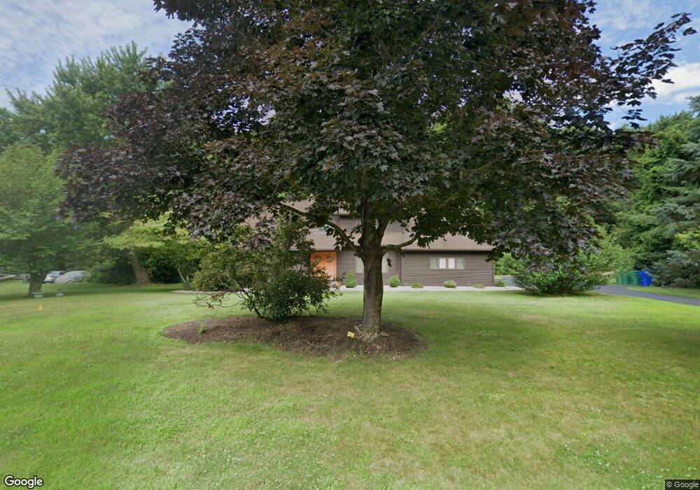
47 Habitat Ln Bloomfield, CT 06002
Estimated Value: $519,000 - $523,000
3
Beds
3
Baths
2,459
Sq Ft
$212/Sq Ft
Est. Value
About This Home
This home is located at 47 Habitat Ln, Bloomfield, CT 06002 and is currently estimated at $520,469, approximately $211 per square foot. 47 Habitat Ln is a home located in Hartford County with nearby schools including Laurel School, Carmen Arace Intermediate School, and Metacomet School.
Ownership History
Date
Name
Owned For
Owner Type
Purchase Details
Closed on
Apr 26, 1993
Sold by
Petrovic Robert and Rossi Judith
Bought by
Smith Albert and Smith Rhonda
Current Estimated Value
Home Financials for this Owner
Home Financials are based on the most recent Mortgage that was taken out on this home.
Original Mortgage
$203,000
Interest Rate
7.45%
Mortgage Type
Purchase Money Mortgage
Create a Home Valuation Report for This Property
The Home Valuation Report is an in-depth analysis detailing your home's value as well as a comparison with similar homes in the area
Home Values in the Area
Average Home Value in this Area
Purchase History
| Date | Buyer | Sale Price | Title Company |
|---|---|---|---|
| Smith Albert | $227,000 | -- | |
| Smith Albert | $227,000 | -- |
Source: Public Records
Mortgage History
| Date | Status | Borrower | Loan Amount |
|---|---|---|---|
| Open | Smith Albert | $180,900 | |
| Closed | Smith Albert | $58,000 | |
| Closed | Smith Albert | $143,000 | |
| Closed | Smith Albert | $203,000 |
Source: Public Records
Tax History Compared to Growth
Tax History
| Year | Tax Paid | Tax Assessment Tax Assessment Total Assessment is a certain percentage of the fair market value that is determined by local assessors to be the total taxable value of land and additions on the property. | Land | Improvement |
|---|---|---|---|---|
| 2024 | $7,881 | $200,830 | $57,260 | $143,570 |
| 2023 | $7,738 | $200,830 | $57,260 | $143,570 |
| 2022 | $7,236 | $200,830 | $57,260 | $143,570 |
| 2021 | $7,397 | $200,830 | $57,260 | $143,570 |
| 2020 | $7,282 | $200,830 | $57,260 | $143,570 |
| 2019 | $7,713 | $199,500 | $57,260 | $142,240 |
| 2018 | $8,337 | $215,880 | $56,490 | $159,390 |
| 2017 | $8,324 | $215,880 | $56,490 | $159,390 |
Source: Public Records
Map
Nearby Homes
- 50 Habitat Ln
- 434 Tunxis Ave
- 68 Tariffville Rd
- 24 Hunting Ridge Dr
- 5 Butternut Dr
- 30 Vista Way
- 234 Woodland Ave
- 63 Duncaster Rd
- 208 Castlewood Dr Unit 208
- 87 Hilltop Rd
- 16 Hilltop Rd
- 108 Woodland Ave
- 10 Massaco St Unit G
- 14 Loren Cir
- 31 Oxford Ct
- 49 Carver Cir
- 9 1/2 E Tomstead Rd
- 14 Main Street Extension
- 22 Old Hartford Ave Unit 22
- 170 Thistle Pond Dr Unit 170