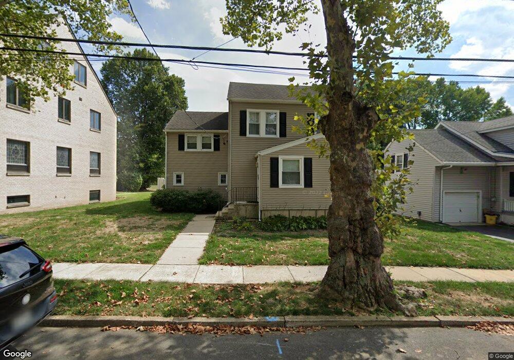
47 Harrop Place Ewing, NJ 08618
Parkway Village NeighborhoodEstimated Value: $324,025 - $507,000
--
Bed
--
Bath
2,210
Sq Ft
$191/Sq Ft
Est. Value
About This Home
This home is located at 47 Harrop Place, Ewing, NJ 08618 and is currently estimated at $422,756, approximately $191 per square foot. 47 Harrop Place is a home located in Mercer County with nearby schools including Ewing High School, Paul Robeson Charter School For The Humanities, and Trenton Stem-To-Civics Charter School.
Ownership History
Date
Name
Owned For
Owner Type
Purchase Details
Closed on
Nov 26, 2002
Sold by
Nelson John
Bought by
Nelson Kevin
Current Estimated Value
Home Financials for this Owner
Home Financials are based on the most recent Mortgage that was taken out on this home.
Original Mortgage
$85,000
Interest Rate
5.65%
Create a Home Valuation Report for This Property
The Home Valuation Report is an in-depth analysis detailing your home's value as well as a comparison with similar homes in the area
Home Values in the Area
Average Home Value in this Area
Purchase History
| Date | Buyer | Sale Price | Title Company |
|---|---|---|---|
| Nelson Kevin | $135,000 | -- |
Source: Public Records
Mortgage History
| Date | Status | Borrower | Loan Amount |
|---|---|---|---|
| Previous Owner | Nelson Kevin | $85,000 |
Source: Public Records
Tax History Compared to Growth
Tax History
| Year | Tax Paid | Tax Assessment Tax Assessment Total Assessment is a certain percentage of the fair market value that is determined by local assessors to be the total taxable value of land and additions on the property. | Land | Improvement |
|---|---|---|---|---|
| 2025 | $6,875 | $174,800 | $50,800 | $124,000 |
| 2024 | $6,462 | $174,800 | $50,800 | $124,000 |
| 2023 | $6,462 | $174,800 | $50,800 | $124,000 |
| 2022 | $6,288 | $174,800 | $50,800 | $124,000 |
| 2021 | $6,134 | $174,800 | $50,800 | $124,000 |
| 2020 | $6,046 | $174,800 | $50,800 | $124,000 |
| 2019 | $5,889 | $174,800 | $50,800 | $124,000 |
| 2018 | $5,451 | $103,200 | $29,500 | $73,700 |
| 2017 | $5,578 | $103,200 | $29,500 | $73,700 |
| 2016 | $5,503 | $103,200 | $29,500 | $73,700 |
| 2015 | $5,429 | $103,200 | $29,500 | $73,700 |
| 2014 | $5,415 | $103,200 | $29,500 | $73,700 |
Source: Public Records
Map
Nearby Homes
- 1583 Pennington Rd
- 50 Groveland Ave
- 644 Concord Cir
- 91 Groveland Ave
- 10 Glen Mawr Dr
- 17 Hillman Ave
- 605 Concord Ave
- 107 Hawthorne Ave
- 1 Pingree Ct
- 7 Pershing Ave
- 111 Louisiana Ave
- 50 Hillman Ave
- 310 Pingree Ave
- 1419 Pennington Rd
- 194 Woodland Ave
- 768 Parkway Ave
- 9 Auburn Ave
- 6 New Hillcrest Ave
- 442 Vannest Ave
- 121 Oregon Ave
- 49 Harrop Place
- 53 Harrop Place
- 57 Harrop Place
- 57 Harrop Plaza
- 1563 Pennington Rd
- 50 Harrop Place
- 54 Harrop Place
- 65 Harrop Place
- 48 Harrop Place
- 58 Harrop Place
- 44 Harrop Place
- 1565 Pennington Rd
- 64 Harrop Place
- 69 Harrop Place
- 0 Braeburn Dr
- 66 Harrop Place
- 1571 Pennington Rd
- 73 Harrop Place
- 1575 Pennington Rd
- 70 Harrop Place