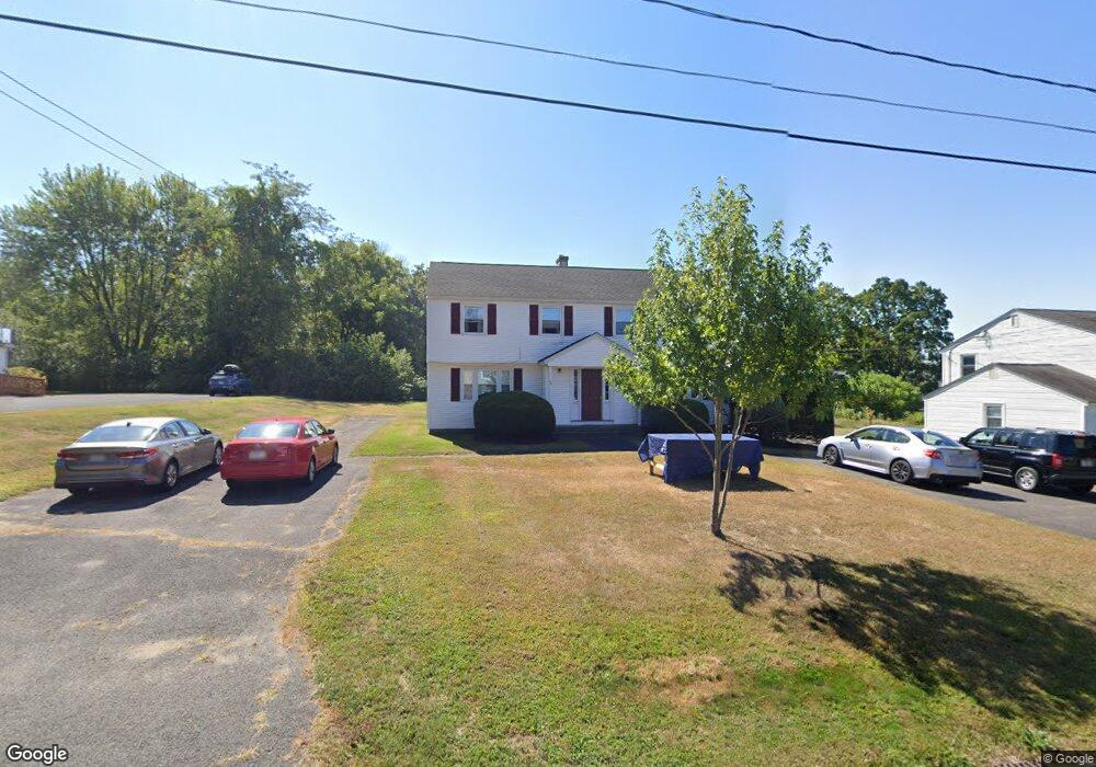
47 Hobart Ln Unit 49 Amherst, MA 01002
Estimated Value: $572,639 - $719,000
6
Beds
2
Baths
2,292
Sq Ft
$285/Sq Ft
Est. Value
About This Home
This home is located at 47 Hobart Ln Unit 49, Amherst, MA 01002 and is currently estimated at $652,910, approximately $284 per square foot. 47 Hobart Ln Unit 49 is a home located in Hampshire County with nearby schools including Wildwood Elementary School, Amherst Regional Middle School, and Amherst Regional High School.
Create a Home Valuation Report for This Property
The Home Valuation Report is an in-depth analysis detailing your home's value as well as a comparison with similar homes in the area
Home Values in the Area
Average Home Value in this Area
Tax History Compared to Growth
Tax History
| Year | Tax Paid | Tax Assessment Tax Assessment Total Assessment is a certain percentage of the fair market value that is determined by local assessors to be the total taxable value of land and additions on the property. | Land | Improvement |
|---|---|---|---|---|
| 2025 | $89 | $496,800 | $185,400 | $311,400 |
| 2024 | $8,428 | $455,300 | $174,900 | $280,400 |
| 2023 | $8,064 | $401,200 | $159,000 | $242,200 |
| 2022 | $7,895 | $371,200 | $144,600 | $226,600 |
| 2021 | $7,866 | $360,500 | $133,900 | $226,600 |
| 2020 | $7,686 | $360,500 | $133,900 | $226,600 |
| 2019 | $7,408 | $339,800 | $133,900 | $205,900 |
| 2018 | $7,183 | $339,800 | $133,900 | $205,900 |
| 2017 | $7,171 | $328,500 | $127,600 | $200,900 |
| 2016 | $6,971 | $328,500 | $127,600 | $200,900 |
| 2015 | $6,747 | $328,500 | $127,600 | $200,900 |
Source: Public Records
Map
Nearby Homes
- 39 Valley Ln
- 88 Farview Way
- 13 Harlow Dr
- 11 Sheerman Ln
- 185 Cherry Ln
- 110 Grantwood Dr
- Lot A Kingman Rd
- 7 Roosevelt St
- 0 Henry St
- Lot 3A-3 Leverett Rd
- 161 Chestnut St
- 305 Strong St
- 0 Red Gate Ln Unit 73348273
- 65 N Prospect St
- 18 N Prospect St
- 48 Gray St
- 15 S Plain Rd
- 113 Juggler Meadow Rd
- Lot A January Hills Rd
- Lot 3, January Hills Rd