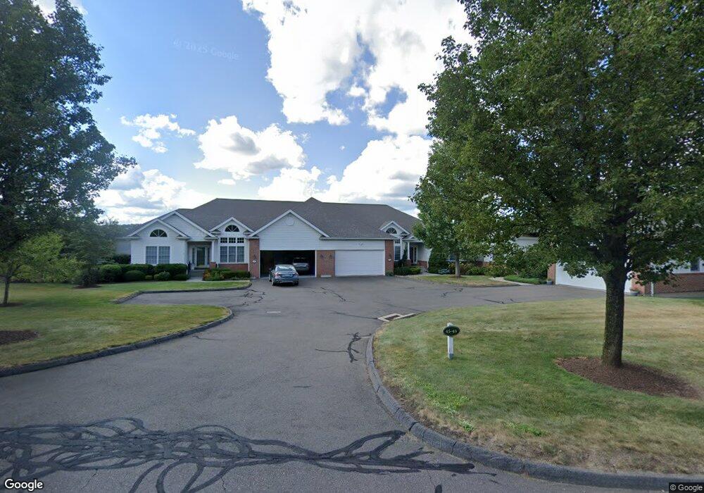
47 Jillian Cir West Hartford, CT 06107
Estimated Value: $444,000 - $791,770
2
Beds
4
Baths
2,008
Sq Ft
$332/Sq Ft
Est. Value
About This Home
This home is located at 47 Jillian Cir, West Hartford, CT 06107 and is currently estimated at $667,443, approximately $332 per square foot. 47 Jillian Cir is a home located in Hartford County with nearby schools including Wolcott School, Sedgwick Middle School, and Conard High School.
Ownership History
Date
Name
Owned For
Owner Type
Purchase Details
Closed on
Mar 3, 2023
Sold by
Beverly P Greenberg Ret
Bought by
Beverly P Grnberg Gst Ft
Current Estimated Value
Purchase Details
Closed on
Jul 16, 2013
Sold by
Thomas D Springer Ret and Springer Thomas D
Bought by
Greenberg Beverly P
Home Financials for this Owner
Home Financials are based on the most recent Mortgage that was taken out on this home.
Original Mortgage
$650,000
Interest Rate
3%
Mortgage Type
Adjustable Rate Mortgage/ARM
Create a Home Valuation Report for This Property
The Home Valuation Report is an in-depth analysis detailing your home's value as well as a comparison with similar homes in the area
Home Values in the Area
Average Home Value in this Area
Purchase History
| Date | Buyer | Sale Price | Title Company |
|---|---|---|---|
| Beverly P Grnberg Gst Ft | -- | None Available | |
| Greenberg Beverly P | $869,900 | -- |
Source: Public Records
Mortgage History
| Date | Status | Borrower | Loan Amount |
|---|---|---|---|
| Previous Owner | Greenberg Beverly P | $650,000 |
Source: Public Records
Tax History Compared to Growth
Tax History
| Year | Tax Paid | Tax Assessment Tax Assessment Total Assessment is a certain percentage of the fair market value that is determined by local assessors to be the total taxable value of land and additions on the property. | Land | Improvement |
|---|---|---|---|---|
| 2025 | $18,757 | $418,880 | $0 | $418,880 |
| 2024 | $17,740 | $418,880 | $0 | $418,880 |
| 2023 | $17,141 | $418,880 | $0 | $418,880 |
| 2022 | $17,040 | $418,880 | $0 | $418,880 |
| 2021 | $16,133 | $380,310 | $0 | $380,310 |
| 2020 | $16,122 | $385,700 | $0 | $385,700 |
| 2019 | $16,122 | $385,700 | $0 | $385,700 |
| 2018 | $15,814 | $385,700 | $0 | $385,700 |
| 2017 | $16,530 | $402,780 | $0 | $402,780 |
| 2016 | $13,416 | $339,570 | $0 | $339,570 |
| 2015 | $13,009 | $339,570 | $0 | $339,570 |
| 2014 | $12,690 | $339,570 | $0 | $339,570 |
Source: Public Records
Map
Nearby Homes
- 73 Emily Way
- 25 Birch Hill Dr
- 7 Brookmoor Rd
- 294 Tunxis Rd
- 31 Everett Ave
- 117 Tunxis Rd
- 7 Buena Vista Rd
- 61 Waterside Ln
- 29 Fairwood Farms Dr
- 42 Fairwood Farms Dr
- 14 Hedwig Ct
- 26 Garland Rd
- 00 Old Farm Dr
- 50 Tunxis Rd
- 3 Talcott Glen Unit D
- 236 Ridgewood Rd
- 88 Spring Ln
- 34 Sandhurst Dr
- 126 Westminster Dr
- 4 Earls Ct Unit E