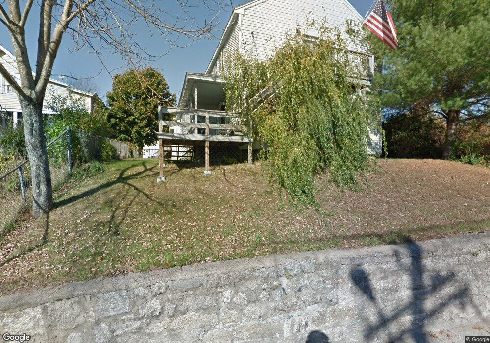
47 Linwood St Uxbridge, MA 01569
Estimated Value: $407,000 - $455,000
4
Beds
2
Baths
1,608
Sq Ft
$269/Sq Ft
Est. Value
About This Home
This home is located at 47 Linwood St, Uxbridge, MA 01569 and is currently estimated at $432,997, approximately $269 per square foot. 47 Linwood St is a home located in Worcester County with nearby schools including Uxbridge High School, Our Lady of the Valley Regional School, and Whitinsville Christian School.
Ownership History
Date
Name
Owned For
Owner Type
Purchase Details
Closed on
May 4, 2010
Sold by
Selene Rmof Reo Acqu L
Bought by
Choquet Nicole and Lopez William
Current Estimated Value
Home Financials for this Owner
Home Financials are based on the most recent Mortgage that was taken out on this home.
Original Mortgage
$178,571
Outstanding Balance
$119,337
Interest Rate
4.99%
Mortgage Type
Purchase Money Mortgage
Estimated Equity
$313,660
Purchase Details
Closed on
Jan 28, 2010
Sold by
Taylor Bean and Taylor Whittaker
Bought by
Selene Rmof Reo Acqui
Purchase Details
Closed on
Jul 31, 2009
Sold by
Williams James and Taylor Bean
Bought by
Taylor Bean and Taylor Whitaker M
Create a Home Valuation Report for This Property
The Home Valuation Report is an in-depth analysis detailing your home's value as well as a comparison with similar homes in the area
Home Values in the Area
Average Home Value in this Area
Purchase History
| Date | Buyer | Sale Price | Title Company |
|---|---|---|---|
| Choquet Nicole | $175,000 | -- | |
| Selene Rmof Reo Acqui | $97,907 | -- | |
| Taylor Bean | $259,750 | -- |
Source: Public Records
Mortgage History
| Date | Status | Borrower | Loan Amount |
|---|---|---|---|
| Open | Choquet Nicole | $178,571 |
Source: Public Records
Tax History Compared to Growth
Tax History
| Year | Tax Paid | Tax Assessment Tax Assessment Total Assessment is a certain percentage of the fair market value that is determined by local assessors to be the total taxable value of land and additions on the property. | Land | Improvement |
|---|---|---|---|---|
| 2025 | $40 | $308,200 | $124,200 | $184,000 |
| 2024 | $3,822 | $295,800 | $117,900 | $177,900 |
| 2023 | $3,628 | $260,100 | $101,900 | $158,200 |
| 2022 | $3,287 | $216,800 | $89,200 | $127,600 |
| 2021 | $3,400 | $214,900 | $87,300 | $127,600 |
| 2020 | $3,390 | $202,500 | $86,000 | $116,500 |
| 2019 | $3,387 | $195,200 | $86,000 | $109,200 |
| 2018 | $3,293 | $191,800 | $86,000 | $105,800 |
| 2017 | $2,902 | $171,100 | $75,200 | $95,900 |
| 2016 | $2,795 | $159,100 | $58,300 | $100,800 |
| 2015 | $2,730 | $156,900 | $58,300 | $98,600 |
Source: Public Records
Map
Nearby Homes
- 50 Carrington Ln
- 3 Strathmore Shire Unit A
- 75 Lake St
- 35 Highland Park Unit 35
- 307 N Main St
- 129 Elm St Unit Lot 7
- 36 Elm St
- 44 Arthur Dr Unit 44
- 0 Louis St
- 72 Homeward Ave
- 94 Heritage Dr Unit 94
- 48 Homeward Ave
- 0 Homestead Ave
- 235 Rivulet St
- 371 Hartford Ave E
- 20 Nature View Dr Unit 20
- 99 Country Club Dr
- 24 Olde Canal Way Unit 24
- 7 Jefferson Ct Unit 7
- 60 Tyler Dr
- 51 Linwood St
- 39 Linwood St
- 5 Whitin St
- 15 Whitin St
- 49 Linwood St
- 49 Linwood St Unit 49
- 55 Linwood St
- 13 Whitin St
- 12 Whitin St
- 35 Linwood St
- 38 Linwood St
- 9 Whitin St
- 63 Linwood St
- 63 Linwood St Unit A
- 63 Linwood St Unit 4
- 63 Linwood St Unit 2
- 63 Linwood St Unit 3
- 32 Linwood St
- 124 E Hartford Ave
- 112 E Hartford Ave