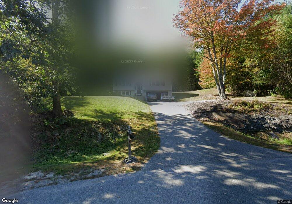
47 Mary Ann Dr Gorham, ME 04038
Estimated Value: $444,632 - $527,000
3
Beds
1
Bath
1,164
Sq Ft
$407/Sq Ft
Est. Value
About This Home
This home is located at 47 Mary Ann Dr, Gorham, ME 04038 and is currently estimated at $473,908, approximately $407 per square foot. 47 Mary Ann Dr is a home located in Cumberland County with nearby schools including Village Elementary School and Gorham High School.
Ownership History
Date
Name
Owned For
Owner Type
Purchase Details
Closed on
Apr 6, 2009
Sold by
Design Dwellings Inc
Bought by
Matthews Nicholas J
Current Estimated Value
Home Financials for this Owner
Home Financials are based on the most recent Mortgage that was taken out on this home.
Original Mortgage
$221,305
Outstanding Balance
$153,329
Interest Rate
4.92%
Mortgage Type
FHA
Estimated Equity
$320,579
Create a Home Valuation Report for This Property
The Home Valuation Report is an in-depth analysis detailing your home's value as well as a comparison with similar homes in the area
Home Values in the Area
Average Home Value in this Area
Purchase History
| Date | Buyer | Sale Price | Title Company |
|---|---|---|---|
| Matthews Nicholas J | -- | -- |
Source: Public Records
Mortgage History
| Date | Status | Borrower | Loan Amount |
|---|---|---|---|
| Open | Matthews Nicholas J | $221,305 |
Source: Public Records
Tax History Compared to Growth
Tax History
| Year | Tax Paid | Tax Assessment Tax Assessment Total Assessment is a certain percentage of the fair market value that is determined by local assessors to be the total taxable value of land and additions on the property. | Land | Improvement |
|---|---|---|---|---|
| 2024 | $4,802 | $326,700 | $102,500 | $224,200 |
| 2023 | $4,492 | $326,700 | $102,500 | $224,200 |
| 2022 | $4,198 | $326,700 | $102,500 | $224,200 |
| 2021 | $4,190 | $216,000 | $91,900 | $124,100 |
| 2020 | $4,104 | $216,000 | $91,900 | $124,100 |
| 2019 | $4,093 | $216,000 | $91,900 | $124,100 |
| 2018 | $3,931 | $216,000 | $91,900 | $124,100 |
| 2017 | $3,694 | $216,000 | $91,900 | $124,100 |
| 2016 | $3,674 | $216,100 | $92,000 | $124,100 |
| 2015 | $3,522 | $216,100 | $92,000 | $124,100 |
| 2014 | $3,005 | $172,700 | $64,600 | $108,100 |
| 2013 | $2,988 | $172,700 | $64,600 | $108,100 |
Source: Public Records
Map
Nearby Homes
- 282 South St
- Unit 13 Fairway Commons Dr Unit 13
- 35 Fairway Commons Dr Unit 14
- 20 Fairway Commons Dr Unit 2
- Lot 3A Day Rd
- 9 Burnham Rd
- 16 Thistle Dr Unit C
- 8 Mitchell Hill Rd
- 34 Baxter Ln Unit 10
- 151 South St
- Lot 10 Newton Dr
- 17 Boreal Dr
- 30 Boreal Dr
- 30 Faith Dr
- 7 Julia Dr
- 41 Mitchell Hill Rd
- 52 Morrill Ave
- 6 Midnight Way
- 114 Narragansett St
- 53 Lochwood Dr
- 41 Mary Ann Dr
- 38 Mary Ann Dr
- 38 Maryann Dr
- 35 Mary Ann Dr
- 0 Waterhouse End of Perry Ln Unit 1490405
- 25 Mary Ann Dr
- 6 Perry Ln
- 28 Mary Ann Dr
- 22 Waterhouse Rd
- 26 Waterhouse Rd
- 11 Perry Ln
- 16 Waterhouse Rd
- 15 Mary Ann Dr
- 9 Mary Ann Dr
- 36 Waterhouse Rd
- 22 Mary Ann Dr
- 21 Waterhouse Rd
- 3 Mary Ann Dr
- 18 Mary Ann Dr
- 17 Waterhouse Rd