47 Mayfaire Cir Westampton, NJ 08060
Estimated Value: $432,000 - $462,000
--
Bed
--
Bath
2,015
Sq Ft
$220/Sq Ft
Est. Value
About This Home
This home is located at 47 Mayfaire Cir, Westampton, NJ 08060 and is currently estimated at $443,984, approximately $220 per square foot. 47 Mayfaire Cir is a home located in Burlington County with nearby schools including Holly Hills Elementary School, Westampton Intermediate School, and Rancocas Valley Regional High School.
Ownership History
Date
Name
Owned For
Owner Type
Purchase Details
Closed on
Apr 23, 2003
Sold by
Hovbros Westampton Llc
Bought by
Acoff Jesse J and Acoff Renee D
Current Estimated Value
Home Financials for this Owner
Home Financials are based on the most recent Mortgage that was taken out on this home.
Original Mortgage
$242,100
Outstanding Balance
$104,539
Interest Rate
5.82%
Mortgage Type
Purchase Money Mortgage
Estimated Equity
$339,445
Create a Home Valuation Report for This Property
The Home Valuation Report is an in-depth analysis detailing your home's value as well as a comparison with similar homes in the area
Home Values in the Area
Average Home Value in this Area
Purchase History
| Date | Buyer | Sale Price | Title Company |
|---|---|---|---|
| Acoff Jesse J | $254,901 | Charter Title Agency | |
| -- | $254,900 | -- |
Source: Public Records
Mortgage History
| Date | Status | Borrower | Loan Amount |
|---|---|---|---|
| Open | -- | $242,100 |
Source: Public Records
Tax History Compared to Growth
Tax History
| Year | Tax Paid | Tax Assessment Tax Assessment Total Assessment is a certain percentage of the fair market value that is determined by local assessors to be the total taxable value of land and additions on the property. | Land | Improvement |
|---|---|---|---|---|
| 2025 | $7,112 | $253,200 | $63,100 | $190,100 |
| 2024 | $6,844 | $253,200 | $63,100 | $190,100 |
| 2023 | $6,844 | $253,200 | $63,100 | $190,100 |
| 2022 | $6,502 | $253,200 | $63,100 | $190,100 |
| 2021 | $6,262 | $253,200 | $63,100 | $190,100 |
| 2020 | $6,236 | $253,200 | $63,100 | $190,100 |
| 2019 | $6,110 | $253,200 | $63,100 | $190,100 |
| 2018 | $6,031 | $253,200 | $63,100 | $190,100 |
| 2017 | $5,872 | $253,200 | $63,100 | $190,100 |
| 2016 | $5,763 | $253,200 | $63,100 | $190,100 |
| 2015 | $5,651 | $253,200 | $63,100 | $190,100 |
| 2014 | $5,507 | $253,200 | $63,100 | $190,100 |
Source: Public Records
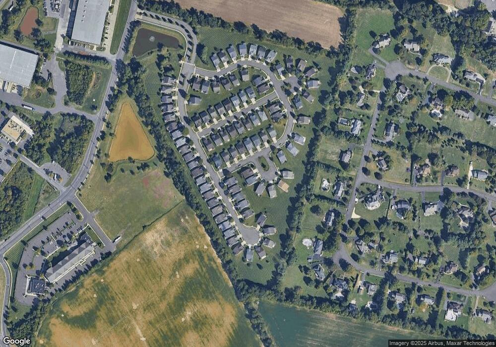
Map
Nearby Homes
- 39 Fernbrooke Dr
- 9 Roberts Dr
- 5 Roberts Dr
- 14 Shelburne St
- 22 Sawgrass Dr
- 204 Dale Rd
- 16 Dogwood Dr
- 9 Shelburne St
- 20 Greenbrier Dr
- 19 Pastern Terrace
- 7 Brentwood Dr
- 724 Woodlane Rd
- 13 Tarnsfield Rd
- 4 Brighton Ct
- 55 Greenwich Dr
- 726 Smith Ln
- 56 Greenwich Dr
- 745 Holly Ln
- 44 Wesley Ln
- 208 Whisper Ct Unit 208
- 45 Mayfaire Cir
- 31 Fernbrooke Dr
- 33 Fernbrooke Dr
- 44 Mayfaire Cir
- 42 Mayfaire Cir
- 43 Mayfaire Cir
- 46 Mayfaire Cir
- 35 Fernbrooke Dr
- 40 Mayfaire Cir
- 48 Mayfaire Cir
- 38 Mayfaire Cir
- 37 Fernbrooke Dr
- 35 Mayfaire Cir
- 36 Mayfaire Cir
- 41 Mayfaire Cir
- 6 Fairfield Dr
- 8 Fairfield Dr
- 4 Fairfield Dr
- 10 Fairfield Dr
- 28 Fernbrooke Dr