47 Mayo Point Castine, ME 04421
Estimated Value: $1,417,403 - $2,644,000
Studio
--
Bath
--
Sq Ft
43,996
Sq Ft Lot
About This Home
This home is located at 47 Mayo Point, Castine, ME 04421 and is currently estimated at $2,030,702. 47 Mayo Point is a home with nearby schools including Adams School.
Ownership History
Date
Name
Owned For
Owner Type
Purchase Details
Closed on
Nov 3, 2025
Sold by
Linda H Friedlander Ret and Friedlander
Bought by
Friedlander Linda H and Friedlander Robert M
Current Estimated Value
Create a Home Valuation Report for This Property
The Home Valuation Report is an in-depth analysis detailing your home's value as well as a comparison with similar homes in the area
Purchase History
| Date | Buyer | Sale Price | Title Company |
|---|---|---|---|
| Friedlander Linda H | -- | -- |
Source: Public Records
Tax History
| Year | Tax Paid | Tax Assessment Tax Assessment Total Assessment is a certain percentage of the fair market value that is determined by local assessors to be the total taxable value of land and additions on the property. | Land | Improvement |
|---|---|---|---|---|
| 2025 | $12,220 | $1,131,500 | $713,600 | $417,900 |
| 2024 | $10,749 | $1,131,500 | $713,600 | $417,900 |
| 2023 | $10,123 | $857,900 | $540,700 | $317,200 |
| 2022 | $9,577 | $736,700 | $464,500 | $272,200 |
| 2021 | $8,398 | $736,700 | $464,500 | $272,200 |
| 2020 | $8,398 | $736,700 | $464,500 | $272,200 |
| 2019 | $8,398 | $736,700 | $464,500 | $272,200 |
| 2018 | $8,656 | $736,700 | $464,500 | $272,200 |
| 2017 | $8,656 | $736,700 | $464,500 | $272,200 |
| 2016 | $8,277 | $866,700 | $546,500 | $320,200 |
| 2015 | $8,277 | $866,700 | $546,500 | $320,200 |
| 2013 | $8,060 | $866,700 | $546,500 | $320,200 |
Source: Public Records
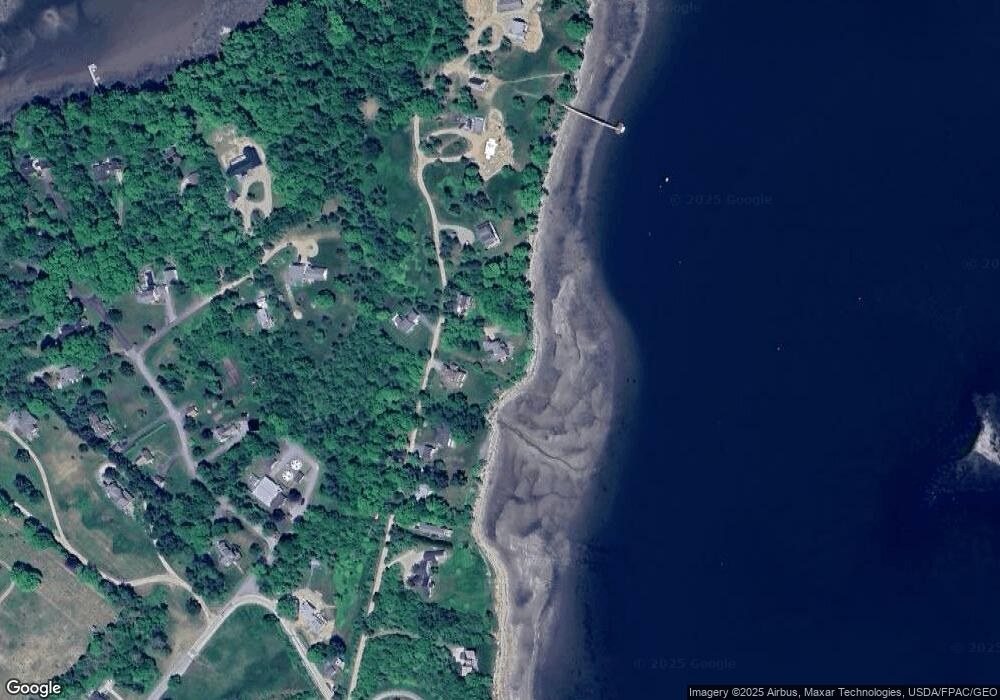
Map
Nearby Homes
- 27 Windmill Hill Ln
- 15 Main St
- M17 L15 Battle Ave
- M17 L15 Perkins St
- 21 La Tour St
- 79 Perkins St
- 581 the Shore Rd
- 684 the Shore Rd
- 26 Tidal Creek Rd
- 1026 Castine Rd
- 21 Harborside Rd
- 113 Wardwell Point Rd
- 1552 Turtle Head Rd
- 1588 Turtle Head Rd
- 182 Dunbar Rd
- 11 S Cape Shore Unit C11
- 1446 Meadow Pond Rd
- 565 Bagaduce Rd
- 8 Clipper Ln
- 112 Rocky Point Rd
Your Personal Tour Guide
Ask me questions while you tour the home.