47 Merion Cir North East, MD 21901
Estimated Value: $250,066 - $301,000
--
Bed
4
Baths
1,334
Sq Ft
$208/Sq Ft
Est. Value
About This Home
This home is located at 47 Merion Cir, North East, MD 21901 and is currently estimated at $278,017, approximately $208 per square foot. 47 Merion Cir is a home located in Cecil County with nearby schools including North East Elementary School, North East Middle School, and North East High School.
Ownership History
Date
Name
Owned For
Owner Type
Purchase Details
Closed on
Nov 25, 2014
Sold by
Littell Deborah M
Bought by
Homes For Life Llc
Current Estimated Value
Purchase Details
Closed on
Sep 24, 2007
Sold by
Nvr Inc
Bought by
Littell Deborah M
Home Financials for this Owner
Home Financials are based on the most recent Mortgage that was taken out on this home.
Original Mortgage
$242,700
Interest Rate
6.7%
Mortgage Type
Purchase Money Mortgage
Purchase Details
Closed on
Aug 28, 2007
Sold by
Nvr Inc
Bought by
Littell Deborah M
Home Financials for this Owner
Home Financials are based on the most recent Mortgage that was taken out on this home.
Original Mortgage
$242,700
Interest Rate
6.7%
Mortgage Type
Purchase Money Mortgage
Create a Home Valuation Report for This Property
The Home Valuation Report is an in-depth analysis detailing your home's value as well as a comparison with similar homes in the area
Home Values in the Area
Average Home Value in this Area
Purchase History
| Date | Buyer | Sale Price | Title Company |
|---|---|---|---|
| Homes For Life Llc | $139,000 | Ardent Title Co Llc | |
| Littell Deborah M | $242,732 | -- | |
| Littell Deborah M | $242,732 | -- |
Source: Public Records
Mortgage History
| Date | Status | Borrower | Loan Amount |
|---|---|---|---|
| Previous Owner | Littell Deborah M | $242,700 | |
| Previous Owner | Littell Deborah M | $242,700 |
Source: Public Records
Tax History Compared to Growth
Tax History
| Year | Tax Paid | Tax Assessment Tax Assessment Total Assessment is a certain percentage of the fair market value that is determined by local assessors to be the total taxable value of land and additions on the property. | Land | Improvement |
|---|---|---|---|---|
| 2025 | $3,863 | $224,133 | $0 | $0 |
| 2024 | $3,626 | $209,867 | $0 | $0 |
| 2023 | $3,408 | $195,600 | $55,000 | $140,600 |
| 2022 | $3,372 | $192,900 | $0 | $0 |
| 2021 | $3,299 | $190,200 | $0 | $0 |
| 2020 | $3,275 | $187,500 | $55,000 | $132,500 |
| 2019 | $3,210 | $183,900 | $0 | $0 |
| 2018 | $3,145 | $180,300 | $0 | $0 |
| 2017 | $3,081 | $176,700 | $0 | $0 |
| 2016 | $2,944 | $176,700 | $0 | $0 |
| 2015 | $2,944 | $176,700 | $0 | $0 |
| 2014 | $3,261 | $179,400 | $0 | $0 |
Source: Public Records
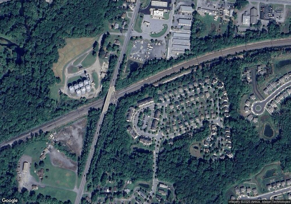
Map
Nearby Homes
- 0 Mallory Way Unit MDCC2003990
- 0 Mallory Way Unit MDCC169342
- 62 Rehill Ave
- parcel # 66 Rolling Mill Ln
- 57 Falls Rd
- 213 Woods Way
- 21 Goldspire Dr
- 24 Cemetery Rd
- 3 Goldspire Dr
- 692 E Old Philadelphia Rd
- 0 Pulaski Hwy
- 2515 Pulaski Hwy
- 104 Magnolia Dr
- 117 Magnolia Dr
- 25 Teatree Ln
- 15 S Mauldin Ave
- 51 Hickory Dr
- 33 Teatree Ln
- 150 Mahogany Dr
- 25 Beech St
- 49 Merion Cir
- 45 Merion Cir
- 51 Merion Cir
- 43 Merion Cir
- 41 Merion Cir
- 39 Merion Cir
- 112 Augusta Loop
- 53 Merion Cir
- 37 Merion Cir
- 37 Mallory Way
- 46 Augusta Loop
- 35 Mallory Way
- 35 Merion Cir
- 31 Mallory Way
- 33 Merion Cir
- 44 Augusta Loop
- 31 Merion Cir
- 29 Mallory Way
- 0 Mallory Way Unit 1000267820
- 0 Mallory Way Unit 1000267782