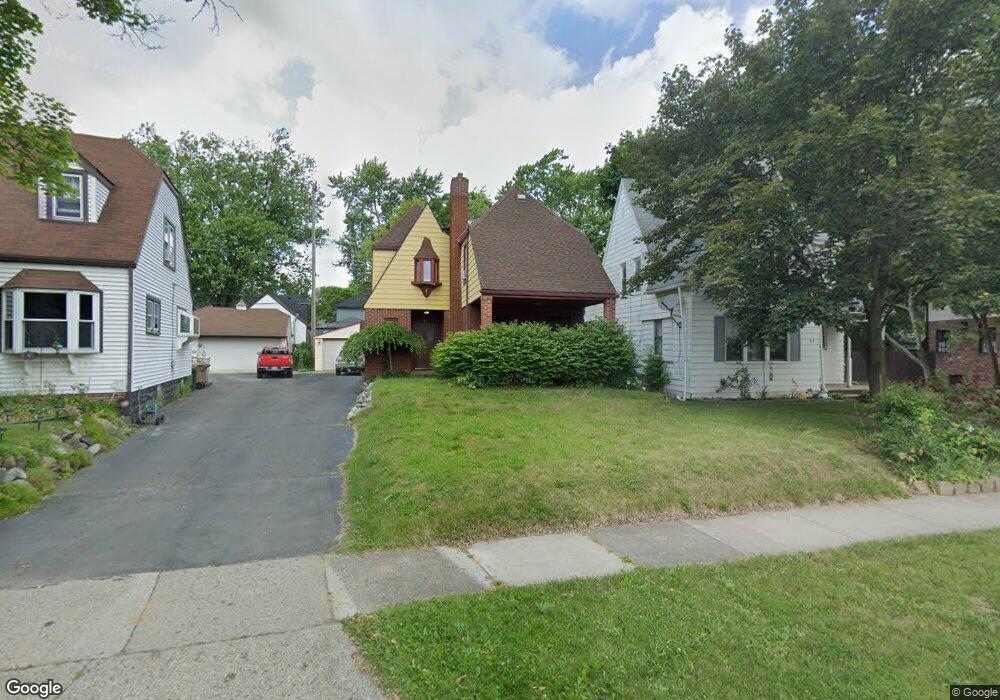
47 Mohawk Rd Pontiac, MI 48341
Estimated Value: $152,000 - $241,000
3
Beds
2
Baths
1,772
Sq Ft
$110/Sq Ft
Est. Value
About This Home
This home is located at 47 Mohawk Rd, Pontiac, MI 48341 and is currently estimated at $194,871, approximately $109 per square foot. 47 Mohawk Rd is a home located in Oakland County with nearby schools including Walt Whitman Elementary School, Pontiac Middle School, and Pontiac High School.
Ownership History
Date
Name
Owned For
Owner Type
Purchase Details
Closed on
Oct 26, 2012
Sold by
Desjardins George Hilton
Bought by
Balmer Sarah
Current Estimated Value
Home Financials for this Owner
Home Financials are based on the most recent Mortgage that was taken out on this home.
Original Mortgage
$56,949
Outstanding Balance
$39,600
Interest Rate
3.75%
Mortgage Type
FHA
Estimated Equity
$155,271
Purchase Details
Closed on
Apr 27, 2010
Sold by
Ewing Andre
Bought by
Bac Home Loans Servicing Lp and Countrywide Home Loans Servicing Lp
Purchase Details
Closed on
Jun 27, 2000
Sold by
Quinn Mary L
Bought by
Household Finance Corp Iii
Purchase Details
Closed on
Feb 15, 2000
Sold by
Quin Mary L
Bought by
Integrity Funding Co
Create a Home Valuation Report for This Property
The Home Valuation Report is an in-depth analysis detailing your home's value as well as a comparison with similar homes in the area
Home Values in the Area
Average Home Value in this Area
Purchase History
| Date | Buyer | Sale Price | Title Company |
|---|---|---|---|
| Balmer Sarah | $60,000 | Seaver Title Agency Llc | |
| Bac Home Loans Servicing Lp | $39,600 | None Available | |
| Household Finance Corp Iii | $81,286 | -- | |
| Integrity Funding Co | $53,758 | -- |
Source: Public Records
Mortgage History
| Date | Status | Borrower | Loan Amount |
|---|---|---|---|
| Open | Balmer Sarah | $56,949 |
Source: Public Records
Tax History
| Year | Tax Paid | Tax Assessment Tax Assessment Total Assessment is a certain percentage of the fair market value that is determined by local assessors to be the total taxable value of land and additions on the property. | Land | Improvement |
|---|---|---|---|---|
| 2025 | $1,178 | $94,770 | $0 | $0 |
| 2024 | $1,049 | $90,060 | $0 | $0 |
| 2023 | $1,000 | $80,160 | $0 | $0 |
| 2022 | $1,035 | $65,860 | $0 | $0 |
| 2021 | $1,007 | $57,940 | $0 | $0 |
| 2020 | $909 | $50,030 | $0 | $0 |
| 2019 | $979 | $43,740 | $0 | $0 |
| 2018 | $943 | $37,950 | $0 | $0 |
| 2017 | $892 | $35,490 | $0 | $0 |
| 2016 | $917 | $35,190 | $0 | $0 |
| 2015 | -- | $30,300 | $0 | $0 |
| 2014 | -- | $23,750 | $0 | $0 |
| 2011 | -- | $38,750 | $0 | $0 |
Source: Public Records
Map
Nearby Homes
- 832 W Huron St
- 78 Newberry St
- 305 Liberty St
- 933 Myrtle Ave
- 122 N Tilden Ave
- V/L W Huron St
- 247 Lasseigne St
- 253 Lasseigne St
- 94 Dwight Ave
- 160 Chippewa Rd
- 150 N Josephine Ave
- 642 Lydia Ln Unit 54
- 1030 Menominee Rd
- 729 W Margaret Ln Unit 212
- 10 Wenonah Dr
- 142 Ottawa Dr
- 403 Voorheis St
- 984 Voorheis Rd
- 143 Thorpe St
- 1119 Lakeview St
Your Personal Tour Guide
Ask me questions while you tour the home.