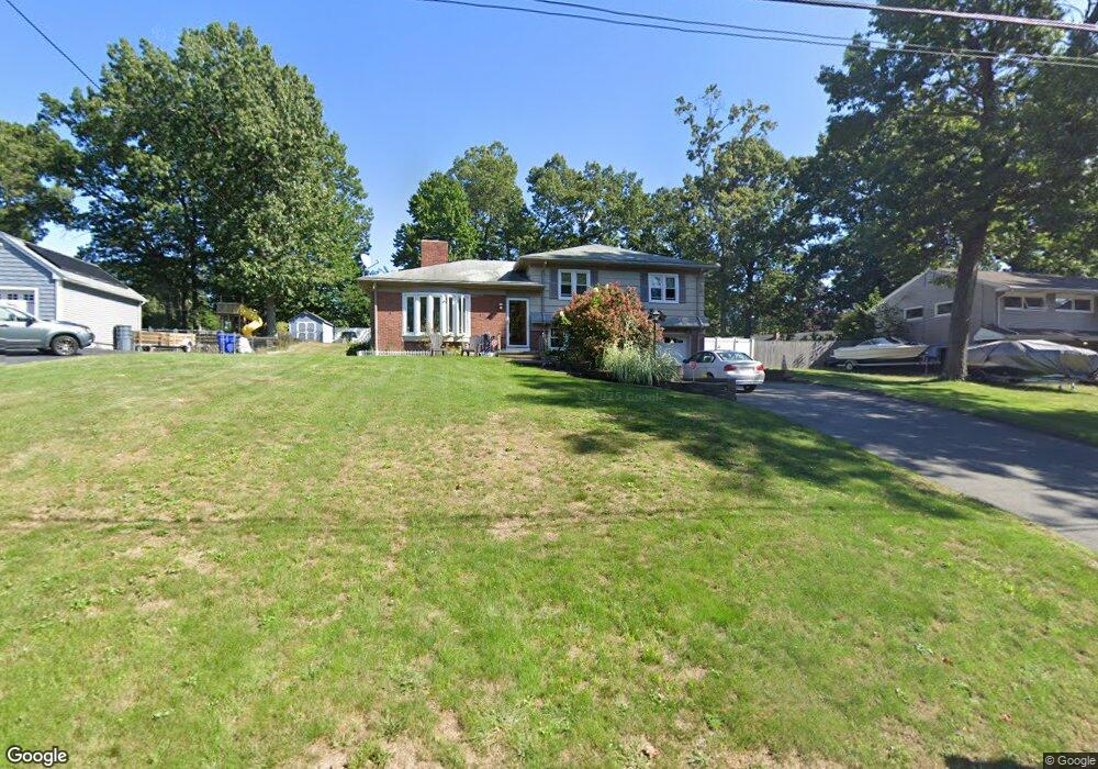
47 Newton Rd Springfield, MA 01118
East Forest Park NeighborhoodEstimated Value: $312,308 - $358,000
3
Beds
2
Baths
1,571
Sq Ft
$214/Sq Ft
Est. Value
About This Home
This home is located at 47 Newton Rd, Springfield, MA 01118 and is currently estimated at $335,577, approximately $213 per square foot. 47 Newton Rd is a home located in Hampden County with nearby schools including Frederick Harris Elementary School, M Marcus Kiley Middle, and Springfield High School of Science and Technology.
Ownership History
Date
Name
Owned For
Owner Type
Purchase Details
Closed on
Apr 20, 2023
Sold by
Smith William G
Bought by
Smith Dominique M
Current Estimated Value
Purchase Details
Closed on
May 29, 1998
Sold by
Wronski Gladys S
Bought by
Smith William G and Dellaera-Smith Rosa
Home Financials for this Owner
Home Financials are based on the most recent Mortgage that was taken out on this home.
Original Mortgage
$77,000
Interest Rate
7.12%
Mortgage Type
Purchase Money Mortgage
Create a Home Valuation Report for This Property
The Home Valuation Report is an in-depth analysis detailing your home's value as well as a comparison with similar homes in the area
Home Values in the Area
Average Home Value in this Area
Purchase History
| Date | Buyer | Sale Price | Title Company |
|---|---|---|---|
| Smith Dominique M | -- | None Available | |
| Smith William G | $97,000 | -- |
Source: Public Records
Mortgage History
| Date | Status | Borrower | Loan Amount |
|---|---|---|---|
| Previous Owner | Smith William G | $60,000 | |
| Previous Owner | Smith William G | $77,000 |
Source: Public Records
Tax History
| Year | Tax Paid | Tax Assessment Tax Assessment Total Assessment is a certain percentage of the fair market value that is determined by local assessors to be the total taxable value of land and additions on the property. | Land | Improvement |
|---|---|---|---|---|
| 2025 | $3,741 | $238,600 | $41,900 | $196,700 |
| 2024 | $3,233 | $201,300 | $41,900 | $159,400 |
| 2023 | $3,478 | $204,000 | $43,500 | $160,500 |
| 2022 | $3,779 | $200,800 | $43,500 | $157,300 |
| 2021 | $3,022 | $159,900 | $39,500 | $120,400 |
| 2020 | $2,951 | $151,100 | $39,500 | $111,600 |
| 2019 | $3,031 | $154,000 | $39,500 | $114,500 |
| 2018 | $3,027 | $153,800 | $39,500 | $114,300 |
| 2017 | $2,813 | $143,100 | $39,500 | $103,600 |
| 2016 | $2,741 | $139,400 | $39,500 | $99,900 |
| 2015 | $2,634 | $133,900 | $39,500 | $94,400 |
Source: Public Records
Map
Nearby Homes
- 647 Plumtree Rd
- 101 Regal St
- 37 Chesterfield Ave
- 509 Plumtree Rd
- 55 Old Farm Rd
- 55 Allen St
- 384 Abbott St
- 49 Corcoran Blvd
- 81 W Crystal Brook Dr
- 19 Manor Ct Unit 19
- 744 Bradley Rd
- 86 Wildwood Ave
- 75 Gillette Cir
- 86 Talmadge Dr
- 24 Wands St
- 85 Talmadge Dr
- 17 Pebble Mill Rd
- 54 S Shore Dr
- 30 W Hill Rd
- 125 Manor Ct Unit 125
Your Personal Tour Guide
Ask me questions while you tour the home.