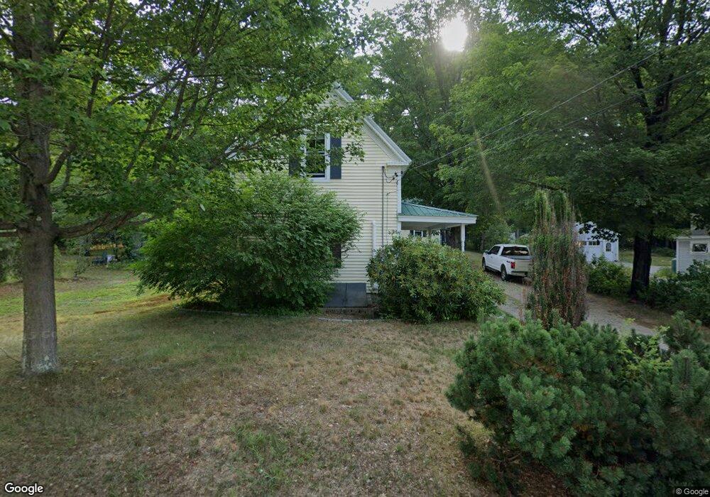
47 Oak St North Conway, NH 03860
Estimated Value: $409,215 - $463,000
2
Beds
1
Bath
1,036
Sq Ft
$419/Sq Ft
Est. Value
About This Home
This home is located at 47 Oak St, North Conway, NH 03860 and is currently estimated at $434,054, approximately $418 per square foot. 47 Oak St is a home located in Carroll County with nearby schools including A. Crosby Kennett Middle School, Kennett High School, and The Lilliputian School.
Ownership History
Date
Name
Owned For
Owner Type
Purchase Details
Closed on
Dec 19, 2005
Sold by
Kevin E Cash T
Bought by
Bush Steven A
Current Estimated Value
Home Financials for this Owner
Home Financials are based on the most recent Mortgage that was taken out on this home.
Original Mortgage
$180,000
Outstanding Balance
$101,010
Interest Rate
6.34%
Mortgage Type
Purchase Money Mortgage
Estimated Equity
$333,044
Create a Home Valuation Report for This Property
The Home Valuation Report is an in-depth analysis detailing your home's value as well as a comparison with similar homes in the area
Home Values in the Area
Average Home Value in this Area
Purchase History
| Date | Buyer | Sale Price | Title Company |
|---|---|---|---|
| Bush Steven A | $225,000 | -- |
Source: Public Records
Mortgage History
| Date | Status | Borrower | Loan Amount |
|---|---|---|---|
| Open | Bush Steven A | $180,000 |
Source: Public Records
Tax History
| Year | Tax Paid | Tax Assessment Tax Assessment Total Assessment is a certain percentage of the fair market value that is determined by local assessors to be the total taxable value of land and additions on the property. | Land | Improvement |
|---|---|---|---|---|
| 2024 | $4,838 | $384,000 | $161,700 | $222,300 |
| 2023 | $4,485 | $391,400 | $161,700 | $229,700 |
| 2022 | $3,614 | $188,400 | $83,400 | $105,000 |
| 2021 | $3,078 | $188,400 | $83,400 | $105,000 |
| 2020 | $3,353 | $179,600 | $83,400 | $96,200 |
| 2019 | $3,111 | $179,600 | $83,400 | $96,200 |
| 2018 | $2,804 | $126,700 | $48,400 | $78,300 |
| 2017 | $2,531 | $126,700 | $48,400 | $78,300 |
| 2016 | $2,447 | $126,700 | $48,400 | $78,300 |
| 2015 | $2,419 | $126,700 | $48,400 | $78,300 |
| 2014 | $2,390 | $126,700 | $48,400 | $78,300 |
| 2013 | $2,275 | $127,400 | $48,400 | $79,000 |
Source: Public Records
Map
Nearby Homes
- 2760 New Hampshire 16 Unit E008A Week 29
- 137 Skimobile Rd Unit 3
- 3 Black Diamond Rd
- 3 Black Diamond Rd Unit 1
- 7 Black Diamond Rd
- 2906 White Mountain Hwy
- 243 Skimobile Rd Unit 252
- 243 Skimobile Rd Unit 355
- 243 Skimobile Rd Unit 354
- 243 Skimobile Rd Unit 255
- 2955 White Mountain Hwy Unit 125 E22
- 2955 White Mountain Hwy Unit 114 (W25)
- 2955 White Mountain Hwy Unit 201-202 W26
- 235 Skimobile Rd Unit 2201
- 235 Skimobile Rd Unit 1404
- 168 Old Bartlett Rd Unit A
- 239 Skimobile Rd Unit 314
- 239 Skimobile Rd Unit 305
- 239 Skimobile Rd Unit 304
- 239 Skimobile Rd Unit 302
Your Personal Tour Guide
Ask me questions while you tour the home.