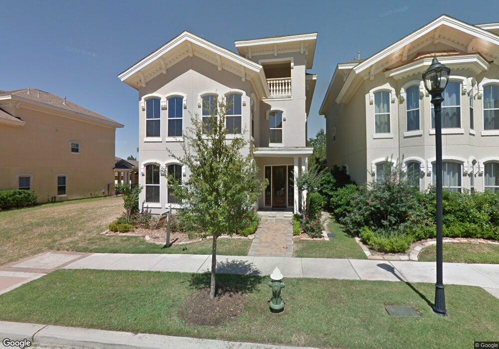
47 Olmstead Row Spring, TX 77380
East Shore NeighborhoodEstimated Value: $1,304,000 - $1,632,000
3
Beds
4
Baths
3,601
Sq Ft
$406/Sq Ft
Est. Value
About This Home
This home is located at 47 Olmstead Row, Spring, TX 77380 and is currently estimated at $1,460,413, approximately $405 per square foot. 47 Olmstead Row is a home located in Montgomery County with nearby schools including Lamar Elementary School, W.D Wilkerson Intermediate School, and Knox J High School.
Ownership History
Date
Name
Owned For
Owner Type
Purchase Details
Closed on
Aug 26, 2021
Sold by
Buitrago Jaime
Bought by
Buitrago Jaime and Dupont Gloria Consuelo
Current Estimated Value
Purchase Details
Closed on
Apr 11, 2012
Sold by
Stonemark Partners Lp
Bought by
Buitrago Jaime
Home Financials for this Owner
Home Financials are based on the most recent Mortgage that was taken out on this home.
Original Mortgage
$417,000
Interest Rate
3.92%
Mortgage Type
New Conventional
Create a Home Valuation Report for This Property
The Home Valuation Report is an in-depth analysis detailing your home's value as well as a comparison with similar homes in the area
Home Values in the Area
Average Home Value in this Area
Purchase History
| Date | Buyer | Sale Price | Title Company |
|---|---|---|---|
| Buitrago Jaime | -- | None Listed On Document | |
| Buitrago Jaime | -- | Great American Title |
Source: Public Records
Mortgage History
| Date | Status | Borrower | Loan Amount |
|---|---|---|---|
| Previous Owner | Buitrago Jaime | $417,000 |
Source: Public Records
Tax History
| Year | Tax Paid | Tax Assessment Tax Assessment Total Assessment is a certain percentage of the fair market value that is determined by local assessors to be the total taxable value of land and additions on the property. | Land | Improvement |
|---|---|---|---|---|
| 2025 | $12,343 | $1,121,936 | -- | -- |
| 2024 | $12,306 | $1,019,942 | -- | -- |
| 2023 | $12,306 | $927,220 | $160,000 | $767,220 |
| 2022 | $17,026 | $856,960 | $160,000 | $696,960 |
| 2021 | $19,602 | $919,440 | $90,230 | $829,210 |
| 2020 | $19,264 | $862,610 | $90,230 | $919,700 |
| 2019 | $18,089 | $784,190 | $90,230 | $796,420 |
| 2018 | $15,131 | $712,900 | $90,230 | $946,880 |
| 2017 | $15,139 | $648,090 | $90,230 | $557,860 |
| 2016 | $15,411 | $659,710 | $90,230 | $569,480 |
| 2015 | $15,437 | $659,710 | $90,230 | $569,480 |
| 2014 | $15,437 | $655,640 | $90,230 | $565,410 |
Source: Public Records
Map
Nearby Homes
- 82 History Row
- 38 Olmstead Row
- 6 History Row
- 122 Gateway Park Place
- 30 E Bay Blvd
- 18 Wooded Park Place
- 22 E Shore Dr
- 26 E Shore Dr
- 31 E Breezy Way
- 6 Rafters Row
- 2835 W Wildwind Cir
- 46 N Autumnwood Way
- 14 Jetty Point Dr
- 50 Aria Isle Dr
- 37 Doe Run Dr
- 4 N Autumnwood Way
- 9 Lilium Ct
- 1 Sandlily Ct
- 27 Pleasure Cove Dr
- 20 Buttonbush Ct
- 51 Olmstead Row
- 43 Olmstead Row
- 55 Olmstead Row
- 39 Olmstead Row
- 35 Olmstead Row
- 59 Olmstead Row
- 31 Olmstead Row
- 63 Olmstead Row
- 78 History Row
- 79 History Row
- 27 Olmstead Row
- 91 Colonial Row Dr
- 87 Colonial Row Dr
- 75 History Row
- 23 Olmstead Row
- 34 Olmstead Row
- 70 History Row
- 30 Olmstead Row
- 71 Olmstead Row
- 67 History Row
Your Personal Tour Guide
Ask me questions while you tour the home.