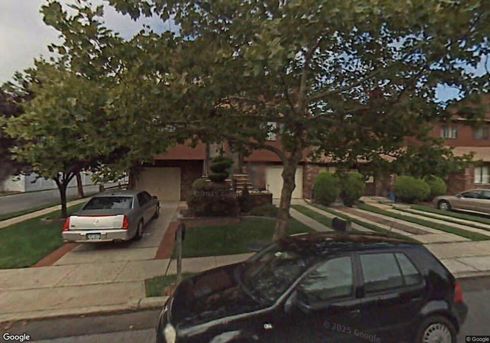
47 Pamela Ln Unit 114 Staten Island, NY 10304
Concord NeighborhoodEstimated Value: $652,363 - $748,000
--
Bed
--
Bath
2,004
Sq Ft
$349/Sq Ft
Est. Value
About This Home
This home is located at 47 Pamela Ln Unit 114, Staten Island, NY 10304 and is currently estimated at $700,091, approximately $349 per square foot. 47 Pamela Ln Unit 114 is a home located in Richmond County with nearby schools including P.S. 48 - William C. Wilcox, I.S. 49 Berta A Dreyfus, and New Dorp High School.
Ownership History
Date
Name
Owned For
Owner Type
Purchase Details
Closed on
Sep 7, 2022
Sold by
Victoria Gibbons
Bought by
47 Pamela Lane Revocable Trust
Current Estimated Value
Purchase Details
Closed on
Jan 15, 1998
Sold by
Gold Steven and Gibbons Victoria
Bought by
Gibbons Victoria
Create a Home Valuation Report for This Property
The Home Valuation Report is an in-depth analysis detailing your home's value as well as a comparison with similar homes in the area
Home Values in the Area
Average Home Value in this Area
Purchase History
| Date | Buyer | Sale Price | Title Company |
|---|---|---|---|
| 47 Pamela Lane Revocable Trust | -- | First American Title | |
| Gibbons Victoria | $74,000 | -- |
Source: Public Records
Tax History Compared to Growth
Tax History
| Year | Tax Paid | Tax Assessment Tax Assessment Total Assessment is a certain percentage of the fair market value that is determined by local assessors to be the total taxable value of land and additions on the property. | Land | Improvement |
|---|---|---|---|---|
| 2025 | $5,432 | $36,050 | $3,690 | $32,360 |
| 2024 | $5,444 | $32,383 | $4,077 | $28,306 |
| 2023 | $5,166 | $26,835 | $4,129 | $22,706 |
| 2022 | $4,518 | $26,851 | $4,641 | $22,210 |
| 2021 | $4,723 | $23,883 | $4,641 | $19,242 |
| 2020 | $5,242 | $26,165 | $4,641 | $21,524 |
| 2019 | $5,051 | $25,547 | $4,641 | $20,906 |
| 2018 | $4,826 | $25,136 | $4,532 | $20,604 |
| 2017 | $4,534 | $23,714 | $4,641 | $19,073 |
| 2016 | $4,248 | $22,800 | $4,641 | $18,159 |
| 2015 | $4,142 | $22,452 | $4,641 | $17,811 |
| 2014 | $4,142 | $23,173 | $4,463 | $18,710 |
Source: Public Records
Map
Nearby Homes
- 164 Stonegate Dr
- 72 Alan Loop
- 31 Alan Loop Unit 65
- 63 Gateway Dr Unit 172
- 89 Columbus Ave
- 62 Columbus Ave
- 24 Roosevelt St
- 98 N Railroad Ave
- 456 Oder Ave
- 1890 Clove Rd
- 4 Sheridan Ave
- 22 Scranton St
- 13 Wilson Terrace
- 6 Eltinge St
- 23 Marie St
- 25 Marie St
- 16 Tacoma St
- 81 Providence St
- 84 Sheridan Ave
- 0 Douglas Rd
- 103 Stanwich St
- 105 Stanwich St Unit 110
- 196 Stonegate Dr
- 109 Stanwich St Unit 109
- 107 Stanwich St Unit 109
- 669 Britton Ave
- 667 Britton Ave
- 207 Stonegate Dr Unit 9
- 209 Stonegate Dr Unit 8
- 671 Britton Ave
- 665 Britton Ave
- 205 Stonegate Dr
- 203 Stonegate Dr Unit 11
- 663 Britton Ave Unit 6
- 661 Britton Ave
- 673 Britton Ave
- 101 Stanwich St
- 201 Stonegate Dr
- 659 Britton Ave Unit 4
- 199 Stonegate Dr Unit 13