47 Pattee Rd East Falmouth, MA 02536
Hatchville NeighborhoodEstimated Value: $708,500 - $792,000
3
Beds
2
Baths
1,568
Sq Ft
$480/Sq Ft
Est. Value
About This Home
This home is located at 47 Pattee Rd, East Falmouth, MA 02536 and is currently estimated at $753,125, approximately $480 per square foot. 47 Pattee Rd is a home located in Barnstable County with nearby schools including Mullen-Hall School, Morse Pond School, and Lawrence School.
Ownership History
Date
Name
Owned For
Owner Type
Purchase Details
Closed on
Nov 22, 2010
Sold by
Rbs Citizens Na
Bought by
Zaferakis Tia and Zaferakis Nicholas
Current Estimated Value
Home Financials for this Owner
Home Financials are based on the most recent Mortgage that was taken out on this home.
Original Mortgage
$212,500
Outstanding Balance
$139,870
Interest Rate
4.3%
Mortgage Type
Purchase Money Mortgage
Estimated Equity
$613,255
Purchase Details
Closed on
Feb 8, 2010
Sold by
Aiken Theresa C and Rbs Citizens Na
Bought by
Rbs Citizens Na
Create a Home Valuation Report for This Property
The Home Valuation Report is an in-depth analysis detailing your home's value as well as a comparison with similar homes in the area
Home Values in the Area
Average Home Value in this Area
Purchase History
| Date | Buyer | Sale Price | Title Company |
|---|---|---|---|
| Zaferakis Tia | $257,500 | -- | |
| Zaferakis Tia | $257,500 | -- | |
| Rbs Citizens Na | $56,240 | -- | |
| Rbs Citizens Na | $56,240 | -- |
Source: Public Records
Mortgage History
| Date | Status | Borrower | Loan Amount |
|---|---|---|---|
| Open | Zaferakis Tia | $212,500 | |
| Closed | Rbs Citizens Na | $212,500 |
Source: Public Records
Tax History Compared to Growth
Tax History
| Year | Tax Paid | Tax Assessment Tax Assessment Total Assessment is a certain percentage of the fair market value that is determined by local assessors to be the total taxable value of land and additions on the property. | Land | Improvement |
|---|---|---|---|---|
| 2025 | $4,177 | $711,500 | $240,500 | $471,000 |
| 2024 | $4,064 | $647,200 | $228,200 | $419,000 |
| 2023 | $3,187 | $460,600 | $184,300 | $276,300 |
| 2022 | $3,327 | $413,300 | $154,600 | $258,700 |
| 2021 | $3,147 | $370,200 | $141,700 | $228,500 |
| 2020 | $3,069 | $357,300 | $128,800 | $228,500 |
| 2019 | $3,013 | $352,000 | $128,800 | $223,200 |
| 2018 | $2,897 | $336,900 | $128,800 | $208,100 |
| 2017 | $2,806 | $329,000 | $128,800 | $200,200 |
| 2016 | $2,750 | $328,600 | $128,800 | $199,800 |
| 2015 | $2,691 | $328,600 | $128,800 | $199,800 |
| 2014 | $2,721 | $333,900 | $135,600 | $198,300 |
Source: Public Records
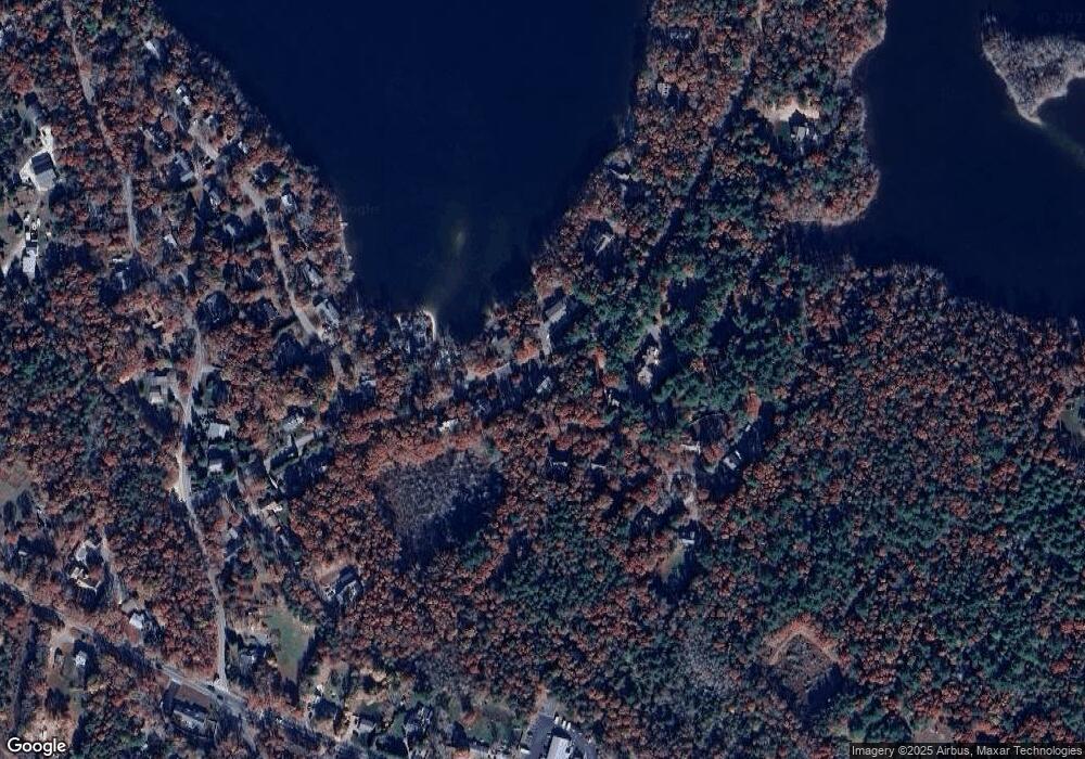
Map
Nearby Homes
- 12 Beach Plum Path
- 273 Sandwich Rd
- 149 Brick Kiln Rd
- 32 Jamie Ln
- 17 Pinewood Dr
- 25 Percival Rd
- 68 Deepwood Dr
- 4 Josiah Path
- 7 Josiah Path
- 18 Josiah Path
- 20 Josiah Path
- 21 Josiah Path
- 30 Josiah Path
- 12 Rock Hollow Dr
- 63 Pine Valley Dr Unit 63 aka 30A
- 59 Whitecaps Dr
- 70 Meredith Dr
- 100 Tanglewood Dr
- 131 Heritage Cir
- 49 Broken Bow Ln