Estimated Value: $488,000 - $515,000
3
Beds
1
Bath
1,080
Sq Ft
$462/Sq Ft
Est. Value
About This Home
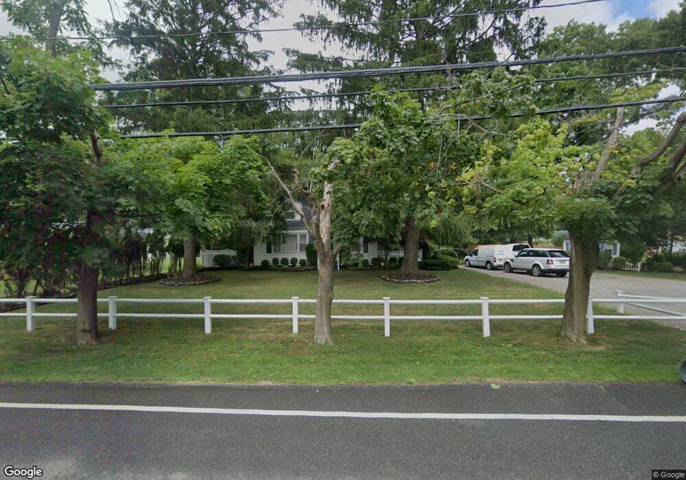
This home is located at 47 Pauls Path, Coram, NY 11727 and is currently estimated at $499,157, approximately $462 per square foot. 47 Pauls Path is a home located in Suffolk County with nearby schools including Longwood Middle School, Longwood Junior High School, and Longwood Senior High School.
Ownership History
Date
Name
Owned For
Owner Type
Purchase Details
Closed on
Feb 28, 2019
Sold by
Langdon Diane
Bought by
Langdon Scott
Current Estimated Value
Purchase Details
Closed on
Jun 18, 1998
Sold by
Wightman Suzanne M and Delise Suzanne M
Bought by
Langdon Scott and Langdon Diane
Home Financials for this Owner
Home Financials are based on the most recent Mortgage that was taken out on this home.
Original Mortgage
$118,900
Interest Rate
7.09%
Mortgage Type
FHA
Create a Home Valuation Report for This Property
The Home Valuation Report is an in-depth analysis detailing your home's value as well as a comparison with similar homes in the area
Home Values in the Area
Average Home Value in this Area
Purchase History
| Date | Buyer | Sale Price | Title Company |
|---|---|---|---|
| Langdon Scott | -- | -- | |
| Langdon Scott | $119,000 | Fidelity National Title Ins |
Source: Public Records
Mortgage History
| Date | Status | Borrower | Loan Amount |
|---|---|---|---|
| Previous Owner | Langdon Scott | $118,900 |
Source: Public Records
Tax History
| Year | Tax Paid | Tax Assessment Tax Assessment Total Assessment is a certain percentage of the fair market value that is determined by local assessors to be the total taxable value of land and additions on the property. | Land | Improvement |
|---|---|---|---|---|
| 2024 | $7,036 | $1,750 | $200 | $1,550 |
| 2023 | $7,036 | $1,750 | $200 | $1,550 |
| 2022 | $6,139 | $1,750 | $200 | $1,550 |
| 2021 | $6,139 | $1,750 | $200 | $1,550 |
| 2020 | $6,323 | $1,750 | $200 | $1,550 |
| 2019 | $6,323 | $0 | $0 | $0 |
| 2018 | $5,983 | $1,750 | $200 | $1,550 |
| 2017 | $5,983 | $1,750 | $200 | $1,550 |
| 2016 | $5,916 | $1,750 | $200 | $1,550 |
| 2015 | -- | $1,750 | $200 | $1,550 |
| 2014 | -- | $1,750 | $200 | $1,550 |
Source: Public Records
Map
Nearby Homes
- 79 Birchwood Rd
- 92 Birchwood Rd
- 342 Clubhouse Ct
- 124 Birchwood Rd
- 113 Birchwood Rd
- 431 Clubhouse Ct
- 312 Clubhouse Ct
- 320 Woodland Ct
- 175 Birchwood Rd
- 11 Theodore Dr
- 154 Birchwood Rd
- 11 Macintosh Ln
- 239 Birchwood Rd
- 163 Theodore Dr
- 268 Brettonwoods Dr
- 269 Brettonwoods Dr
- 172 Skyline Dr
- 217 Birchwood Rd
- 57 Samantha Dr
- 852 Skyline Dr
- 51 Pauls Path
- 43 Pauls Path
- 52 Pauls Path
- 48 Pauls Path
- 10 Planters Ln
- 12 Planters Ln
- 46 Pauls Path
- 8 Planters Ln
- 66 Birchwood Rd
- 65 Birchwood Rd Unit .65
- 65 Birchwood Rd
- 44 Pauls Path
- 67 Birchwood Rd
- 67 Birchwood Rd Unit 67
- 37 Pauls Path
- 62 Birchwood Rd
- 62 Birchwood Rd Unit 358
- 58 Birchwood Rd Unit 354
- 64 Birchwood Rd
- 63 Birchwood Rd