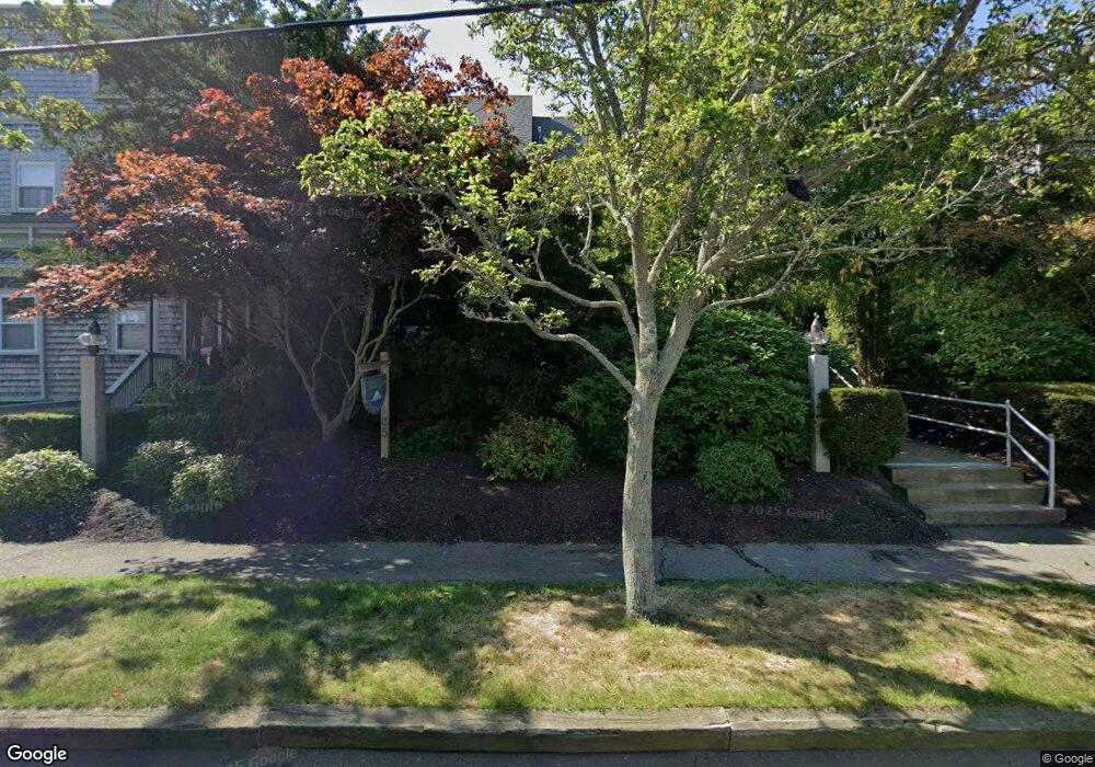
47 Raymond St Unit 2 Manchester, MA 01944
Estimated Value: $665,292 - $774,000
2
Beds
3
Baths
1,323
Sq Ft
$553/Sq Ft
Est. Value
About This Home
This home is located at 47 Raymond St Unit 2, Manchester, MA 01944 and is currently estimated at $731,573, approximately $552 per square foot. 47 Raymond St Unit 2 is a home located in Essex County with nearby schools including Manchester Essex Regional High School, Tara Montessori School, and Landmark Elementary & Middle School.
Ownership History
Date
Name
Owned For
Owner Type
Purchase Details
Closed on
Dec 23, 2013
Sold by
Arnott David W and Arnott Nancy J
Bought by
Arnott Irt
Current Estimated Value
Purchase Details
Closed on
Aug 19, 1994
Sold by
Grey Beach T and Klein Gerhart
Bought by
Arnott David W and Arnott Nancy J
Home Financials for this Owner
Home Financials are based on the most recent Mortgage that was taken out on this home.
Original Mortgage
$60,000
Interest Rate
8.61%
Mortgage Type
Purchase Money Mortgage
Create a Home Valuation Report for This Property
The Home Valuation Report is an in-depth analysis detailing your home's value as well as a comparison with similar homes in the area
Home Values in the Area
Average Home Value in this Area
Purchase History
| Date | Buyer | Sale Price | Title Company |
|---|---|---|---|
| Arnott Irt | -- | -- | |
| Arnott David W | $213,400 | -- |
Source: Public Records
Mortgage History
| Date | Status | Borrower | Loan Amount |
|---|---|---|---|
| Previous Owner | Arnott David W | $70,000 | |
| Previous Owner | Arnott David W | $60,000 |
Source: Public Records
Tax History Compared to Growth
Tax History
| Year | Tax Paid | Tax Assessment Tax Assessment Total Assessment is a certain percentage of the fair market value that is determined by local assessors to be the total taxable value of land and additions on the property. | Land | Improvement |
|---|---|---|---|---|
| 2025 | $5,372 | $587,100 | $0 | $587,100 |
| 2024 | $5,060 | $541,200 | $0 | $541,200 |
| 2023 | $5,394 | $517,200 | $0 | $517,200 |
| 2022 | $5,683 | $536,100 | $0 | $536,100 |
| 2021 | $5,892 | $536,100 | $0 | $536,100 |
| 2020 | $6,347 | $542,500 | $0 | $542,500 |
| 2019 | $5,977 | $532,200 | $0 | $532,200 |
| 2018 | $5,870 | $532,200 | $0 | $532,200 |
| 2017 | $5,854 | $532,200 | $0 | $532,200 |
| 2016 | $5,763 | $520,600 | $0 | $520,600 |
| 2015 | $4,264 | $393,400 | $0 | $393,400 |
Source: Public Records
Map
Nearby Homes
- 47 Raymond St Unit 4
- 47 Raymond St Unit 3
- 47 Raymond St Unit 1
- 47 Raymond St Unit 3-47
- 45 Raymond St Unit 8
- 45 Raymond St Unit 7
- 45 Raymond St Unit 6
- 45 Raymond St Unit 5
- 49 Raymond St Unit D
- 49 Raymond St Unit C
- 49 Raymond St Unit B
- 49 Raymond St Unit A
- 43 Raymond St
- 53 Raymond St
- 42 Raymond St
- 46 Raymond St
- 40 Raymond St
- 57 Raymond St
- 25 Butler
- 50 Raymond St