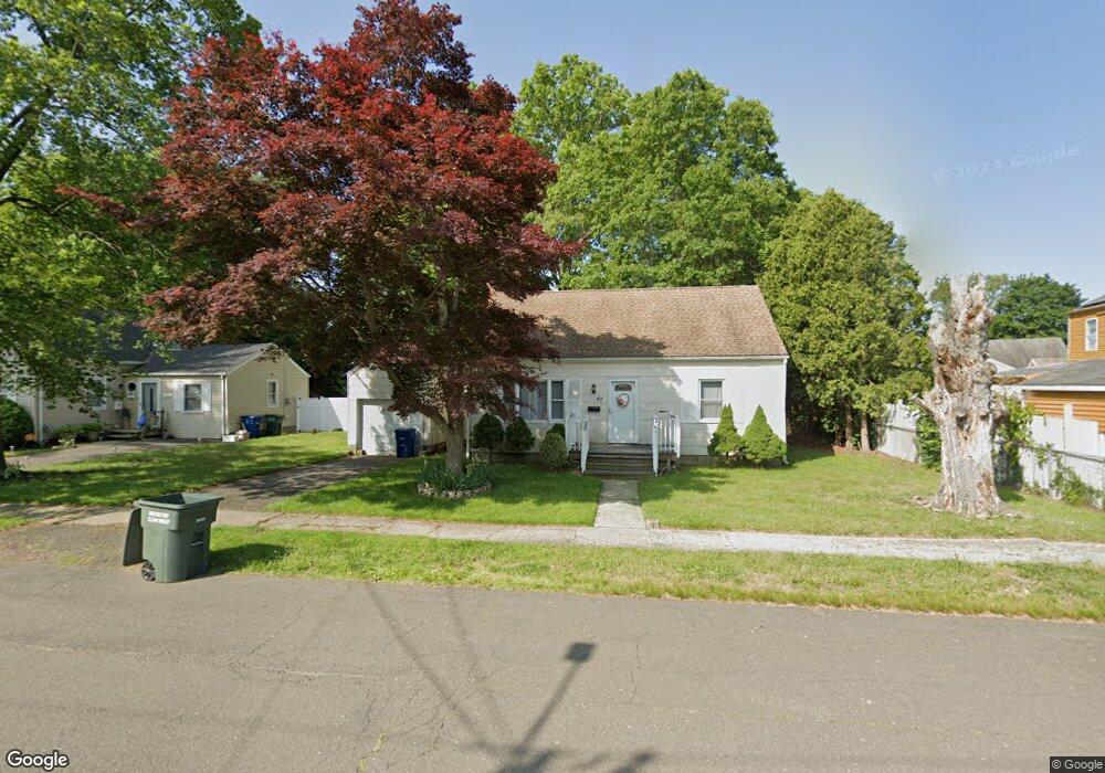
47 Regency St Bridgeport, CT 06610
North Bridgeport NeighborhoodEstimated Value: $350,000 - $387,000
3
Beds
1
Bath
1,224
Sq Ft
$298/Sq Ft
Est. Value
About This Home
This home is located at 47 Regency St, Bridgeport, CT 06610 and is currently estimated at $364,384, approximately $297 per square foot. 47 Regency St is a home located in Fairfield County with nearby schools including Hooker School, Harding High School, and Christian Heritage School.
Ownership History
Date
Name
Owned For
Owner Type
Purchase Details
Closed on
Jun 13, 2011
Sold by
Cisco Gray J
Bought by
Morris Natasha E
Current Estimated Value
Home Financials for this Owner
Home Financials are based on the most recent Mortgage that was taken out on this home.
Original Mortgage
$76,000
Outstanding Balance
$52,833
Interest Rate
4.81%
Estimated Equity
$311,551
Purchase Details
Closed on
Aug 14, 2006
Sold by
Palucci Deborah
Bought by
Cisco Gray
Purchase Details
Closed on
Dec 12, 1996
Sold by
Palucci Scott F and Palucci Deborah L
Bought by
Russell Beverly J and Russell Edward T
Purchase Details
Closed on
Aug 31, 1995
Sold by
Dickey John R
Bought by
Palucci Scott F and Palucci Deborah L
Create a Home Valuation Report for This Property
The Home Valuation Report is an in-depth analysis detailing your home's value as well as a comparison with similar homes in the area
Home Values in the Area
Average Home Value in this Area
Purchase History
| Date | Buyer | Sale Price | Title Company |
|---|---|---|---|
| Morris Natasha E | $95,000 | -- | |
| Morris Natasha E | $95,000 | -- | |
| Cisco Gray | $205,000 | -- | |
| Cisco Gray | $205,000 | -- | |
| Russell Beverly J | $5,000 | -- | |
| Russell Beverly J | $5,000 | -- | |
| Palucci Scott F | $70,000 | -- | |
| Palucci Scott F | $70,000 | -- |
Source: Public Records
Mortgage History
| Date | Status | Borrower | Loan Amount |
|---|---|---|---|
| Open | Palucci Scott F | $76,000 | |
| Closed | Palucci Scott F | $20,000 |
Source: Public Records
Tax History
| Year | Tax Paid | Tax Assessment Tax Assessment Total Assessment is a certain percentage of the fair market value that is determined by local assessors to be the total taxable value of land and additions on the property. | Land | Improvement |
|---|---|---|---|---|
| 2025 | $5,608 | $129,060 | $65,150 | $63,910 |
| 2024 | $5,608 | $129,060 | $65,150 | $63,910 |
| 2023 | $5,608 | $129,060 | $65,150 | $63,910 |
| 2022 | $5,608 | $129,060 | $65,150 | $63,910 |
| 2021 | $5,608 | $129,060 | $65,150 | $63,910 |
| 2020 | $5,827 | $107,920 | $53,450 | $54,470 |
| 2019 | $5,827 | $107,920 | $53,450 | $54,470 |
| 2018 | $5,868 | $107,920 | $53,450 | $54,470 |
| 2017 | $5,868 | $107,920 | $53,450 | $54,470 |
| 2016 | $5,868 | $107,920 | $53,450 | $54,470 |
| 2015 | $5,296 | $125,500 | $52,240 | $73,260 |
| 2014 | $5,296 | $125,500 | $52,240 | $73,260 |
Source: Public Records
Map
Nearby Homes
- 11 Nob Hill Cir
- 211 Louisiana Ave Unit D
- 261 Pennsylvania Ave
- 154 Virginia Ave Unit B
- 120 Huntington Turnpike Unit 202
- 132 Virginia Ave Unit 132
- 119 Jennings Ave
- 186 Louisiana Ave Unit D
- 33 Louisiana Ave Unit 35
- 3699 Broadbridge Ave Unit 330
- 3699 Broadbridge Ave Unit 101
- 285 Hillcrest Rd
- 250 Dayton Rd
- 207 Hillcrest Rd
- 72 Broadmere Rd
- 156 Dayton Rd
- 563 Pearl Harbor St
- 2100-2102 E Main St
- 2092-2096 E Main St
- 74 Hollywood Ave
Your Personal Tour Guide
Ask me questions while you tour the home.