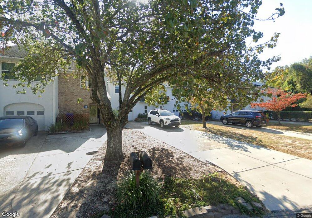
47 Rivers Point Row Charleston, SC 29412
James Island NeighborhoodEstimated Value: $758,479 - $1,124,000
4
Beds
3
Baths
2,100
Sq Ft
$421/Sq Ft
Est. Value
About This Home
This home is located at 47 Rivers Point Row, Charleston, SC 29412 and is currently estimated at $884,620, approximately $421 per square foot. 47 Rivers Point Row is a home located in Charleston County with nearby schools including Harbor View Elementary School, Camp Road Middle, and Charleston Development Academy.
Ownership History
Date
Name
Owned For
Owner Type
Purchase Details
Closed on
Jun 27, 2003
Sold by
Joe Ford Construction
Bought by
Bell Luke T and Mason Tralane
Current Estimated Value
Purchase Details
Closed on
Jul 1, 2002
Sold by
Ford Thomas G
Bought by
Joe Ford Construction
Purchase Details
Closed on
Feb 16, 1999
Sold by
William J & Joe Ford Construction
Bought by
Ford Thomas Glenn
Create a Home Valuation Report for This Property
The Home Valuation Report is an in-depth analysis detailing your home's value as well as a comparison with similar homes in the area
Home Values in the Area
Average Home Value in this Area
Purchase History
| Date | Buyer | Sale Price | Title Company |
|---|---|---|---|
| Bell Luke T | $253,900 | -- | |
| Joe Ford Construction | $150,000 | -- | |
| Ford Thomas Glenn | -- | -- |
Source: Public Records
Tax History Compared to Growth
Tax History
| Year | Tax Paid | Tax Assessment Tax Assessment Total Assessment is a certain percentage of the fair market value that is determined by local assessors to be the total taxable value of land and additions on the property. | Land | Improvement |
|---|---|---|---|---|
| 2024 | $2,265 | $15,040 | $0 | $0 |
| 2023 | $2,006 | $15,040 | $0 | $0 |
| 2022 | $1,861 | $15,040 | $0 | $0 |
| 2021 | $1,951 | $15,040 | $0 | $0 |
| 2020 | $2,023 | $15,040 | $0 | $0 |
| 2019 | $1,801 | $13,080 | $0 | $0 |
| 2017 | $1,739 | $13,080 | $0 | $0 |
| 2016 | $1,667 | $13,080 | $0 | $0 |
| 2015 | $1,723 | $13,080 | $0 | $0 |
| 2014 | $1,563 | $0 | $0 | $0 |
| 2011 | -- | $0 | $0 | $0 |
Source: Public Records
Map
Nearby Homes
- 21 Rivers Point Row Unit 5A
- 21 Rivers Point Row Unit 3C
- 21 Rivers Point Row Unit 15H
- 21 Rivers Point Row Unit 10C
- 35 Rivers Point Row Unit A
- 6 Commercial Row
- 13 Maplecrest Dr
- 31 Maplecrest Dr
- 930 Julia St
- 10 Bass Ln Unit D
- 10 Bass Ln Unit A
- 17 S Anderson Ave Unit A,B,C, D
- 50 Held Cir Unit 50c
- 1 S Anderson Ave
- 1734 Combahee St
- 55 Held Cir
- 8 Brockman Dr
- 1764 Lady Ashley St
- 1416 Camp Rd
- 1014 Arborwood Dr
- 47 Rivers Point Row
- 47 Rivers Point Row Unit 3
- 49 Rivers Point Row
- 49 Rivers Point Row Unit 4
- 45 Rivers Point Row Unit 2
- 51 Rivers Point Row Unit 5
- 43 Rivers Point Row Unit 1
- 53 Rivers Point Row Unit 6
- 55 Rivers Point Row Unit 7
- 57 Rivers Point Row
- 57 Rivers Point Row Unit 8
- 32 Meander Row Unit 8
- 30 Meander Row
- 30 Meander Row Unit 7
- 34 Meander Row Unit 9
- 36 Meander Row
- 38 Meander Row Unit 11
- 28 Meander Row
- 40 Meander Row Unit 12
- 40 Meander Row