Estimated Value: $499,110 - $695,000
1
Bed
1
Bath
582
Sq Ft
$982/Sq Ft
Est. Value
About This Home
This home is located at 47 S Bay Rd, Otis, MA 01253 and is currently estimated at $571,778, approximately $982 per square foot. 47 S Bay Rd is a home with nearby schools including Farmington River Elementary School.
Ownership History
Date
Name
Owned For
Owner Type
Purchase Details
Closed on
Dec 1, 2005
Sold by
Eades Ada M and Eades Michael S
Bought by
Rainey Valerie
Current Estimated Value
Home Financials for this Owner
Home Financials are based on the most recent Mortgage that was taken out on this home.
Original Mortgage
$130,000
Outstanding Balance
$72,086
Interest Rate
6.14%
Mortgage Type
Purchase Money Mortgage
Estimated Equity
$499,692
Create a Home Valuation Report for This Property
The Home Valuation Report is an in-depth analysis detailing your home's value as well as a comparison with similar homes in the area
Home Values in the Area
Average Home Value in this Area
Purchase History
| Date | Buyer | Sale Price | Title Company |
|---|---|---|---|
| Rainey Valerie | $260,000 | -- | |
| Rainey Valerie | $260,000 | -- | |
| Rainey Valerie | $260,000 | -- |
Source: Public Records
Mortgage History
| Date | Status | Borrower | Loan Amount |
|---|---|---|---|
| Open | Rainey Valerie | $130,000 | |
| Closed | Rainey Valerie | $130,000 |
Source: Public Records
Tax History Compared to Growth
Tax History
| Year | Tax Paid | Tax Assessment Tax Assessment Total Assessment is a certain percentage of the fair market value that is determined by local assessors to be the total taxable value of land and additions on the property. | Land | Improvement |
|---|---|---|---|---|
| 2025 | $3,059 | $473,600 | $410,200 | $63,400 |
| 2024 | $2,668 | $411,700 | $353,300 | $58,400 |
| 2023 | $2,455 | $370,800 | $312,400 | $58,400 |
| 2022 | $2,722 | $351,200 | $301,400 | $49,800 |
| 2021 | $3,095 | $365,400 | $322,000 | $43,400 |
| 2020 | $3,039 | $364,400 | $322,000 | $42,400 |
| 2019 | $3,017 | $364,400 | $322,000 | $42,400 |
| 2018 | $3,017 | $364,400 | $322,000 | $42,400 |
| 2017 | $2,944 | $364,400 | $322,000 | $42,400 |
| 2016 | $2,868 | $365,400 | $322,000 | $43,400 |
| 2015 | $2,516 | $334,100 | $281,600 | $52,500 |
Source: Public Records
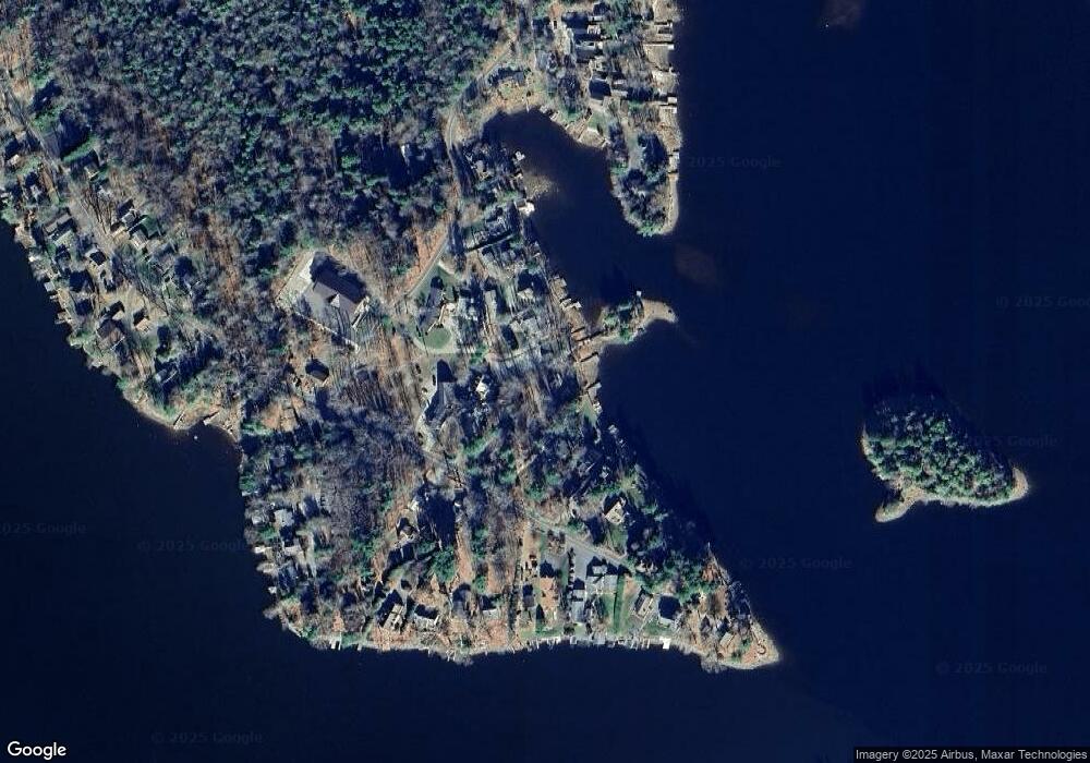
Map
Nearby Homes
- 134 Kibbe Rd
- 454 Pine Rd
- 369 Pine Rd
- 854 Tolland Rd
- 236 Ridge Ave
- 23 S Pine St
- 185 Pine Rd
- 30 Brookman Dr
- 91 Pike Rd
- 7 Reservoir Heights Rd
- 191 Moreau Rd
- 56 Otis-Tolland Rd
- 129 W Shore Rd
- 168 Tolland Rd
- 0 Curtis Hall Rd Unit 73425043
- 0 Curtis Hall Rd Unit 73376838
- 38 Norton Road Extension
- 98 Loop Dr
- 307 Stanley Rd
- 58 Stanley Rd