47 S Ridge Rd Georgetown, OH 45121
Estimated Value: $411,000 - $547,051
4
Beds
3
Baths
4,017
Sq Ft
$115/Sq Ft
Est. Value
About This Home
This home is located at 47 S Ridge Rd, Georgetown, OH 45121 and is currently estimated at $462,684, approximately $115 per square foot. 47 S Ridge Rd is a home located in Brown County with nearby schools including Georgetown Elementary School and Georgetown Jr/Sr High School.
Ownership History
Date
Name
Owned For
Owner Type
Purchase Details
Closed on
Jul 27, 2012
Sold by
Virost Raymond P and Virost Barbara A
Bought by
Virost Raymond P and Virost Barbara A
Current Estimated Value
Create a Home Valuation Report for This Property
The Home Valuation Report is an in-depth analysis detailing your home's value as well as a comparison with similar homes in the area
Home Values in the Area
Average Home Value in this Area
Purchase History
| Date | Buyer | Sale Price | Title Company |
|---|---|---|---|
| Virost Raymond P | -- | None Available |
Source: Public Records
Tax History Compared to Growth
Tax History
| Year | Tax Paid | Tax Assessment Tax Assessment Total Assessment is a certain percentage of the fair market value that is determined by local assessors to be the total taxable value of land and additions on the property. | Land | Improvement |
|---|---|---|---|---|
| 2024 | $5,487 | $154,570 | $24,540 | $130,030 |
| 2023 | $5,487 | $121,550 | $19,760 | $101,790 |
| 2022 | $4,697 | $121,550 | $19,760 | $101,790 |
| 2021 | $4,655 | $121,550 | $19,760 | $101,790 |
| 2020 | $4,118 | $101,300 | $16,470 | $84,830 |
| 2019 | $4,089 | $101,300 | $16,470 | $84,830 |
| 2018 | $4,061 | $101,300 | $16,470 | $84,830 |
| 2017 | $3,116 | $92,230 | $15,590 | $76,640 |
| 2016 | $3,115 | $92,230 | $15,590 | $76,640 |
| 2015 | $3,237 | $92,230 | $15,590 | $76,640 |
| 2014 | $3,237 | $90,810 | $14,170 | $76,640 |
| 2013 | $3,228 | $90,810 | $14,170 | $76,640 |
Source: Public Records
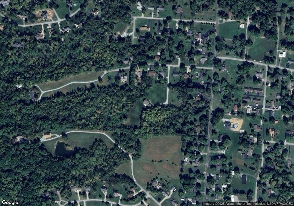
Map
Nearby Homes
- 59 Williams Dr
- 470 Free Soil Rd
- 20 Heritage Hill Dr
- 27 Marilyn Dr
- 155 Free Soil Rd
- 20 Lakeview Acres Dr
- 175 Douglas Cir
- 0 Douglas Ln Unit 1641744
- 418 Home St
- 25 Douglas Ln
- 0 St Rt 221 & Footbridge Unit 1826509
- 505 S Water St
- 402 S Pleasant St
- 306 W 2nd St
- 7029 Free Soil Rd
- 666 E State St
- 102 Bill Dee Dr
- 104 Elm St
- 708 E State St
- 406 E North St
- 65 Curry Ridge Rd
- 55 Curry Ridge Rd
- 85 Curry Ridge Rd
- 75 Curry Ridge Rd
- 41 Curry Ridge Rd
- 0 Curry Ridge Rd Unit 1742062
- 0 Curry Ridge Rd Unit 1725809
- 0 Curry Ridge Rd Unit 1718461
- 0 Curry Ridge Rd Unit 1684046
- 31 Curry Ridge Rd
- 80 Curry Ridge Rd
- 372 Free Soil Rd
- 60 Curry Ridge Rd
- 360 Free Soil Rd
- 40 Curry Ridge Rd
- 408 Free Soil Rd
- 350 Free Soil Rd
- 30 Curry Ridge Rd
- 21 Amy Dr
- 428 Free Soil Rd