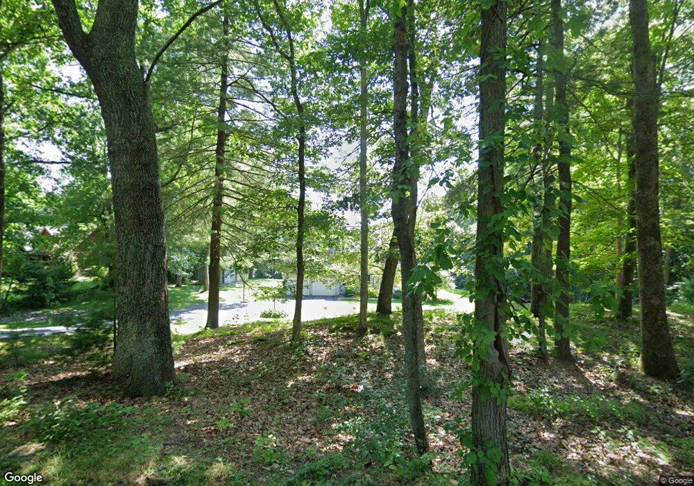
47 Sacarrappa Rd Oxford, MA 01540
Estimated Value: $637,000 - $734,000
4
Beds
4
Baths
2,568
Sq Ft
$266/Sq Ft
Est. Value
About This Home
This home is located at 47 Sacarrappa Rd, Oxford, MA 01540 and is currently estimated at $682,096, approximately $265 per square foot. 47 Sacarrappa Rd is a home located in Worcester County with nearby schools including Alfred M Chaffee, Oxford High School, and Clara Barton Elementary School.
Ownership History
Date
Name
Owned For
Owner Type
Purchase Details
Closed on
Sep 13, 2000
Sold by
Petrik Eva D
Bought by
Szela Joseph J and Szela Michele L
Current Estimated Value
Home Financials for this Owner
Home Financials are based on the most recent Mortgage that was taken out on this home.
Original Mortgage
$40,000
Interest Rate
8.07%
Mortgage Type
Purchase Money Mortgage
Create a Home Valuation Report for This Property
The Home Valuation Report is an in-depth analysis detailing your home's value as well as a comparison with similar homes in the area
Home Values in the Area
Average Home Value in this Area
Purchase History
| Date | Buyer | Sale Price | Title Company |
|---|---|---|---|
| Szela Joseph J | $70,000 | -- |
Source: Public Records
Mortgage History
| Date | Status | Borrower | Loan Amount |
|---|---|---|---|
| Open | Szela Joseph J | $108,000 | |
| Open | Szela Joseph J | $212,000 | |
| Closed | Szela Joseph J | $40,000 |
Source: Public Records
Tax History Compared to Growth
Tax History
| Year | Tax Paid | Tax Assessment Tax Assessment Total Assessment is a certain percentage of the fair market value that is determined by local assessors to be the total taxable value of land and additions on the property. | Land | Improvement |
|---|---|---|---|---|
| 2025 | $75 | $588,800 | $132,100 | $456,700 |
| 2024 | $7,360 | $546,000 | $122,500 | $423,500 |
| 2023 | $6,828 | $500,600 | $117,200 | $383,400 |
| 2022 | $6,630 | $410,300 | $92,600 | $317,700 |
| 2021 | $6,407 | $387,600 | $88,200 | $299,400 |
| 2020 | $6,189 | $371,500 | $88,200 | $283,300 |
| 2019 | $5,703 | $334,900 | $88,200 | $246,700 |
| 2018 | $5,355 | $310,100 | $88,200 | $221,900 |
| 2017 | $5,291 | $314,000 | $84,600 | $229,400 |
| 2016 | $5,316 | $314,000 | $84,600 | $229,400 |
| 2015 | $4,958 | $314,000 | $84,600 | $229,400 |
| 2014 | $4,832 | $322,100 | $82,400 | $239,700 |
Source: Public Records
Map
Nearby Homes
- 35 &33 Sutton Ave
- 11 Lovett Rd
- 8 Turk Hollow Rd
- 0 Dana Rd
- 7 Tower Hill Rd
- 15 Lind St
- 18 Sutton Ave
- 12 New St
- 11 Sutton Ave
- 5 Carlton Ct
- 3 Rhonda Rheault Dr
- 397 Main St
- 0 Federal Hill Rd Unit 73422286
- 6 Rawson Ave
- 7 Millbury Blvd
- L0T 11 History Dr
- L0T 3 History Dr
- L0T 12 History Dr
- 31 Douglas Rd
- 24 Manchaug Rd
- 45 Sacarrappa Rd
- 51 Sacarrappa Rd
- 46 Sacarrappa Rd
- 44 Sacarrappa Rd
- 43 Sacarrappa Rd
- 48 Sacarrappa Rd
- 84 Lovett Rd
- 41 Sacarrappa Rd
- 38 Sacarrappa Rd
- 86 Lovett Rd
- 67 Lovett Rd
- 39 Sacarrappa Rd
- 55 Lovett Rd
- 88 Lovett Rd
- 37 Sacarrappa Rd
- 36 Sacarrappa Rd
- 27 Lovett Rd
- 35 Sacarrappa Rd
- 8 Locust St Unit 221
- 8 Locust St Unit 227
