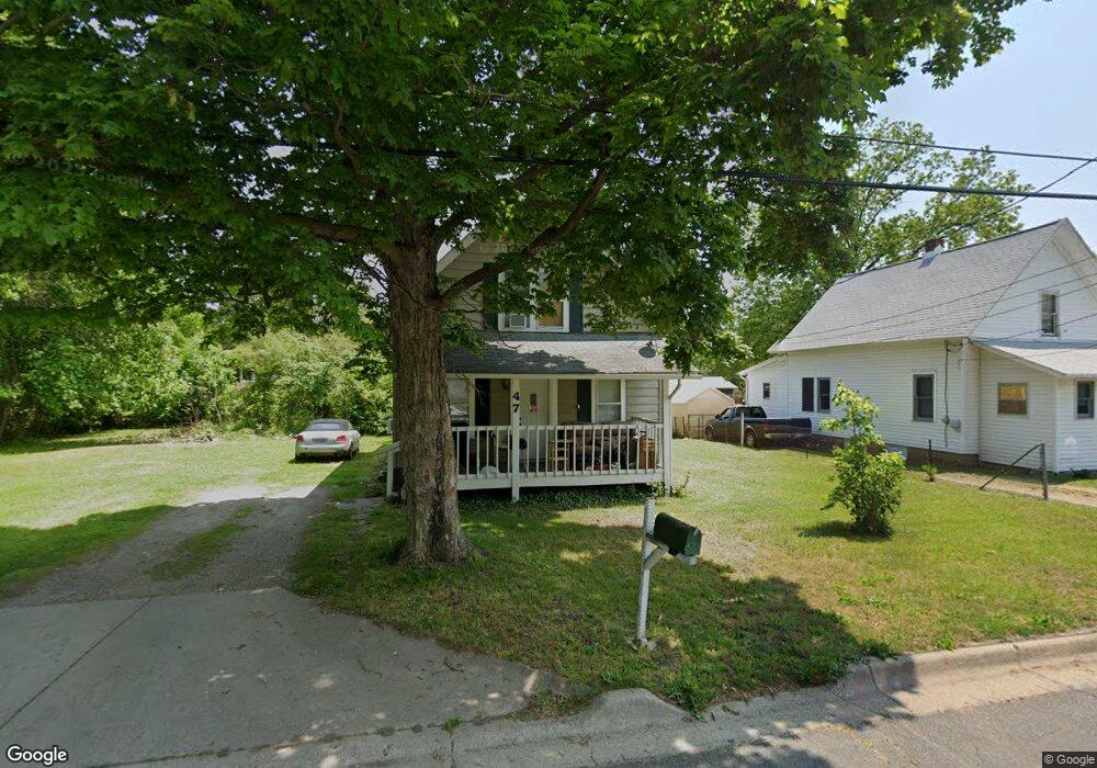
47 Scenery St Battle Creek, MI 49015
Central Battle Creek NeighborhoodEstimated Value: $114,000 - $131,000
3
Beds
1
Bath
1,094
Sq Ft
$114/Sq Ft
Est. Value
About This Home
This home is located at 47 Scenery St, Battle Creek, MI 49015 and is currently estimated at $124,434, approximately $113 per square foot. 47 Scenery St is a home located in Calhoun County with nearby schools including Ann J. Kellogg School, Springfield Middle School, and Battle Creek Central High School.
Ownership History
Date
Name
Owned For
Owner Type
Purchase Details
Closed on
Oct 14, 2020
Sold by
Moka Blue Llc
Bought by
Fortoso Javier
Current Estimated Value
Home Financials for this Owner
Home Financials are based on the most recent Mortgage that was taken out on this home.
Original Mortgage
$82,968
Outstanding Balance
$73,661
Interest Rate
2.8%
Mortgage Type
FHA
Estimated Equity
$50,773
Purchase Details
Closed on
Oct 1, 2019
Sold by
Estate Of Irene Gillum
Bought by
Moka Blue Llc
Home Financials for this Owner
Home Financials are based on the most recent Mortgage that was taken out on this home.
Original Mortgage
$12,375
Interest Rate
3.5%
Mortgage Type
Commercial
Purchase Details
Closed on
Aug 21, 1997
Bought by
Gillum Irene
Create a Home Valuation Report for This Property
The Home Valuation Report is an in-depth analysis detailing your home's value as well as a comparison with similar homes in the area
Home Values in the Area
Average Home Value in this Area
Purchase History
| Date | Buyer | Sale Price | Title Company |
|---|---|---|---|
| Fortoso Javier | $84,500 | None Available | |
| Fortoso Javier | $84,500 | None Listed On Document | |
| Moka Blue Llc | $16,500 | None Available | |
| Gillum Irene | -- | -- |
Source: Public Records
Mortgage History
| Date | Status | Borrower | Loan Amount |
|---|---|---|---|
| Open | Fortoso Javier | $82,968 | |
| Closed | Fortoso Javier | $82,968 | |
| Previous Owner | Moka Blue Llc | $12,375 |
Source: Public Records
Tax History Compared to Growth
Tax History
| Year | Tax Paid | Tax Assessment Tax Assessment Total Assessment is a certain percentage of the fair market value that is determined by local assessors to be the total taxable value of land and additions on the property. | Land | Improvement |
|---|---|---|---|---|
| 2025 | -- | $36,400 | $0 | $0 |
| 2024 | $960 | $29,981 | $0 | $0 |
| 2023 | $1,098 | $28,041 | $0 | $0 |
| 2022 | $867 | $23,289 | $0 | $0 |
| 2021 | $1,036 | $22,169 | $0 | $0 |
| 2020 | $789 | $16,120 | $0 | $0 |
| 2019 | $789 | $21,224 | $0 | $0 |
| 2018 | $789 | $18,951 | $1,155 | $17,796 |
| 2017 | $764 | $15,641 | $0 | $0 |
| 2016 | $762 | $17,676 | $0 | $0 |
| 2015 | $536 | $17,586 | $5,731 | $11,855 |
| 2014 | $536 | $16,818 | $5,731 | $11,087 |
Source: Public Records
Map
Nearby Homes
- 17 Tennyson Ave
- 1 Grand Blvd
- 0 Riverside Pkwy Unit 25036355
- 3 Riverside Pkwy
- 41 Randolph St
- 32 Territorial Rd E
- 35 Eldred St
- 57 Boulder St
- 15 Marine Dr
- 71 Burnham St W
- 296 Meachem Ave
- 77 Leitch Dr
- 127 W Territorial Rd
- 66 Cleveland St
- 137 Fairfield Ave
- 96 Battle Creek Ave
- 100 Eldred St
- 171 Goguac St W
- 51 Pauline Ave
- 235 Fairfield Ave