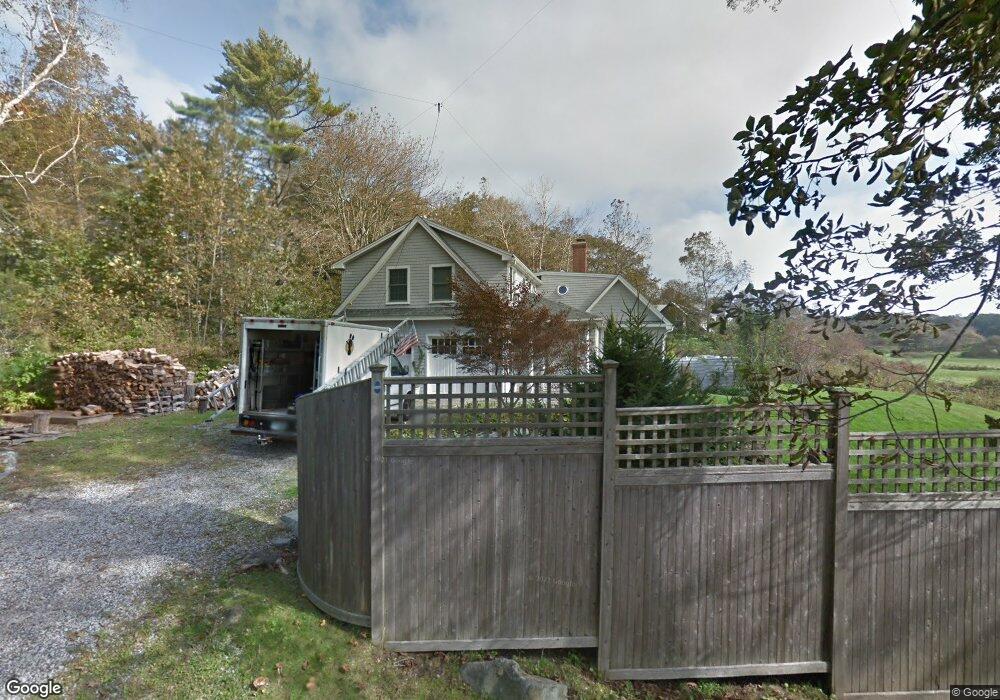
47 Seapoint Rd Kittery Point, ME 03905
Kittery Point NeighborhoodEstimated Value: $1,960,000 - $2,302,216
3
Beds
3
Baths
2,915
Sq Ft
$735/Sq Ft
Est. Value
About This Home
This home is located at 47 Seapoint Rd, Kittery Point, ME 03905 and is currently estimated at $2,141,739, approximately $734 per square foot. 47 Seapoint Rd is a home with nearby schools including Horace Mitchell Primary School, Shapleigh School, and Robert W Traip Academy.
Ownership History
Date
Name
Owned For
Owner Type
Purchase Details
Closed on
Sep 30, 2022
Sold by
Blackman Michael P and Samson Molly
Bought by
Michael P Blackman Ret
Current Estimated Value
Purchase Details
Closed on
Dec 22, 2014
Sold by
Samson Molly and Blackman Michael P
Bought by
Samson Molly and Blackman Michael P
Purchase Details
Closed on
Oct 6, 2014
Sold by
Samson Molly
Bought by
Samson Molly and Blackman Michael P
Create a Home Valuation Report for This Property
The Home Valuation Report is an in-depth analysis detailing your home's value as well as a comparison with similar homes in the area
Home Values in the Area
Average Home Value in this Area
Purchase History
| Date | Buyer | Sale Price | Title Company |
|---|---|---|---|
| Michael P Blackman Ret | -- | None Available | |
| Samson Molly | -- | -- | |
| Samson Molly | -- | -- |
Source: Public Records
Tax History
| Year | Tax Paid | Tax Assessment Tax Assessment Total Assessment is a certain percentage of the fair market value that is determined by local assessors to be the total taxable value of land and additions on the property. | Land | Improvement |
|---|---|---|---|---|
| 2024 | $21,722 | $1,529,700 | $1,074,700 | $455,000 |
| 2023 | $20,819 | $1,529,700 | $1,074,700 | $455,000 |
| 2022 | $20,620 | $1,529,700 | $1,074,700 | $455,000 |
| 2021 | $21,516 | $1,655,100 | $1,201,000 | $454,100 |
| 2020 | $21,351 | $1,655,100 | $1,201,000 | $454,100 |
| 2019 | $15,707 | $902,700 | $549,900 | $352,800 |
| 2018 | $15,165 | $902,700 | $549,900 | $352,800 |
| 2017 | $14,895 | $902,700 | $549,900 | $352,800 |
| 2016 | $14,443 | $899,900 | $549,900 | $350,000 |
| 2015 | $14,101 | $899,900 | $549,900 | $350,000 |
| 2014 | $13,966 | $899,900 | $549,900 | $350,000 |
| 2013 | $13,696 | $899,900 | $549,900 | $350,000 |
Source: Public Records
Map
Nearby Homes
- 52 Goodwin Rd
- 112 Brave Boat Harbor Rd
- 2 Washburn Farm Ln Unit 1
- 25 Bartlett Rd
- 7 Washburn Farm Ln Unit 9
- 12 Washburn Farm Ln Unit 3
- 18 Washburn Farm Ln Unit 4
- 13 Washburn Farm Ln Unit 7
- 3 Izzy Ln
- 2 Woodside Meadow Rd
- 4 Ice House Point
- 50 Lewis Rd
- 10 Blueberry Ln
- 24 Seabreeze Ln
- 23 Harmon Park Rd
- 8 Spruce Point Rd
- 30 Drake Ln
- 419 & 425 York St
- 425 York St
- 75 Caincrest Rd
- 32 Seapoint Rd
- 8 Thaxter Ln
- 34 Seapoint Rd
- 6 Thaxter Ln
- 30 Seapoint Rd
- 43 Seapoint Rd
- 3 Thaxter Ln
- 28 Seapoint Rd
- 14 Thaxter Ln
- 0 Seapoint Rd Unit 1514047
- 26 Seapoint Rd
- 18 Thaxter Ln
- 22 Seapoint Rd
- 15 Thaxter Ln
- 20 Seapoint Rd
- 19 Thaxter Ln
- 20 Thaxter Ln
- 22 Thaxter Ln
- 14 Seapoint Rd
- 8 Old Cart Path
Your Personal Tour Guide
Ask me questions while you tour the home.